Friday, October 31, 2014

Halloween 2014

Here are some pictures of my Halloween around my apartment...enjoy.

Start of the carving...

...gutted...

...one eye cut...

...finished with his inspiration.

Pumking...

...lit up.

Ready for the three Trick or Treaters.

With his crown.

The Flame.

Steam Pumpkin, Grunloh & Smoky.

Sports pumpkins & our three trophies!

My lights...

...which people seemed to like.

Pumpkin & his ceramic cousin.

Jack O' Lanterns!

Remember Eat Locals!

The Great Pumpkin.

Stoner.

AT Day Hiking Another Loop To Blood Mountain


October is my favorite month of the year, so there is never a better time to head to my favorite place in GeorgiaBlood Mountain.
In a previous blog I said there were two ways to day hike to the highest point on the Georgia AT (Appalachian Trail). Well, actually there is three (four if you want 12 do a 12-mile shuttle from Woody to Neel Gap). I found this hike in Jim Parham’s book Day Hiking the North Georgia Mountains. He calls it the Slaughter Creek Loop, but it is more appropriate to call it the Lake Winfield Scott Loop as the hike starts and ends at the US Forest Service Recreation Area.
I drove to here via Woody Gap and went through Suches for the first time. After turning on to GA 180 it is a picturesque drive to the entrance to Lake Winfield Scott.

Chestatee Overlook.

Woody Gap.

Vista at Wood Gap.

Wolf Pen Gap Store & Hostel in Suches.

Road to Lake Winfield Scott.

After paying the $5 day use fee I parked at the parking area next to the lake. I will talk about the Lake Winfield Scott later, but it is a beautiful body of water. The trail head is to the right of the parking area across the road. The trail heads up about half- mile, taking a left across the creek to a road. It is here where the loop starts I head left up the Jarrard Gap Trail.

Where you pay the day use fee.

Lake Winfield Scott in the morning.

Trailhead.

Trail goes left here...

...& right here.

The first part is on Jarrard Gap Road it travels two-tenths of a mile before heading into the woods on the blue blazed proper trail. I would consider this trail to be moderate it actually reminds me a lot of the Byron Reese Trail up from the other side of Blood Mountain.

The first part of the Jarrard Gap Trail is road.

Old sign points the way.

Where the Jarrard Gap Trail leaves the road...

...& enters the woods.

Small footbridge.

Some of the fall colors.

The Jarrard Gap Trail...

...& one of the rare blue blazes.

The trail is not the best blazed trail but since there are no trails spurring off it is not that big a problem. After 1.2 miles the trail finally intersects with the AT in Jarrard Gap. From here it is a left turn and head north on the AT.

Headed up to...

...Jarrard Gap...

...& the trail I need goes left.

At Jarrard Gap.

Headed up the AT.

The AT...

...on the trail.

A trees on the AT.

More fall colors.

Lot of straight stretches on the AT here around Gaddis Mtn.

From here to Bird Gap it is about 1.6 miles of what I consider a moderate trail. There is some up and down spots as the trail passes Gaddis and Turkey Stamp Mountains. I will say this is a nice stretch of trail with some beautiful trees. When one reaches Bird Gap the first trail junction you pass is the blue blazed path to the Woods Hole Shelter. It is a half-mile one way to it. The next junction is with the Freeman Trail, the path I took the last time I came to Blood Mountain.

Headed to Bird Gap.

Cool mushrooms.

The trail to the Woods Hole Shelter...

...& double blue blaze.

Bird Gap...

...& the junction with the Freeman Trail.

So the trail from here I have taken before as I said in my previous blog entry I prefer this way up the mountain the steeper south side. While a little more than a moderate climb it is help by switch backing. It was around here that I had to put on my PolarTec dry fit top. I had brought my PolarTec because the weather forecast was 40’s with wind. I started with this other “dry fit” shirt, but it didn’t work too well and both it and the shirt I wore over it were soaked. If anyone has ever been in the Bird Gap area knows it is noticeably winder, so I was getting chilled.

Headed up the Blood Mountain...

...on the AT.

Maple leaf.

It might be the season...

...but there was this spooky tree.

White blaze.

Steps up from the junction with Slaughter Creek Trail.

Trail up the AT.

This camping sign might need replacing.

Cool late fall flower.

AT cuts through some trees.

AT stone steps.

Junction with the Duncan Ridge Trail.

More fall colors.

Tunneling through rhododenons.

Sunshine on the trail.

Headed up the final stretch...

...headed up the AT...

...toward Blood Mountain.

With AT blaze.

After a little over four miles one reaches the summit of Blood Mountain. This is where Parham stops his hike, but I traveled on down over the summit to two rock outcrops. The last, which is the first when coming up from the south on the AT, maybe the best view on the top of Blood Mountain.

Blood Mountain Shelter means I arrived.

AT on Blood Mountain.

Some of the Blood Mountain vista.

Fall colors on the summit.

Blood Mountain panorama.


Pigeon in a tree.

The lower outcrop may offer the best view on the mountain.

Black & Big Cedar Mountain.

This is a awesome...

...panorama.


At the outcrop.

More fall colors on the summit.

Fall leaves & the white blaze.

More from this lower outcrop...

...what such a great vista.

More vista...


...at Blood Mountain.

Fall colors...

...on full display.

I love this view!

A group of hikers pass by.

AT goes to the left past the vista (not down the outcrop).

Vista from another outcrop.

Yonah Mountain.

Looking north...

...toward Cowrock & Wildcat Mountains.

Something I need to point out is the view was not as clear as a year-ago here. Last October Atlanta (73 miles) was clearly visible, but today I could just make out Sawnee Mountain (37 miles).

Sawnee & Atlanta last October...

...same spot this year.

Blood Mountain Summit...


...the geological marker...

...I am with it.

After about a half-hour enjoying the view I headed back toward the Blood Mountain Shelter and climbed up to Picnic Rock. I sat here and enjoyed lunch with some other hikers.

Headed back to the stone shelter.

Sign on the shelter.

Picnic Rock Panorama.

Black & Big Cedar Mountains & in the distance Mt. Oglethorpe.

Springer Mountain.

North Georgia Mountains.

The Blood Mountain Shelter from Picnic Rock.

At Picnic Rock...

...what a great...

...vista.

From inside the shelter.

All good things must come to an end, but before I headed down I enjoyed the view of Brasstown Bald.

Brasstown Bald.

Panorama of the Blood Mountain Shelter.

Sign pointing the way...

...to the privy.

Read the sign.

Headed back down.

On the way down I ran into a group of older women who were hiking from Woody Gap to Neel Gap. I saw them heading out when I stopped briefly there on my way to Lake Winfield Scott. Let me say they made good time.

Headed down...

...with fall colors...

...it made...

...for a lovely hike down.

The AT...

...with some more spooky trees.

More...

...autumn colors.

Sign to camping & water.

With white blaze.

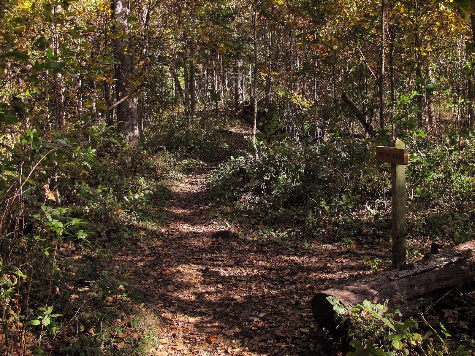
Anyway just around a mile down one comes to the junction of the second half of the loop, the Slaughter Creek Trail. Once called the Slaughter Gap Trail, but is was slightly rerouted and renamed. Like any connecter trail it is blue blazed. The way back is almost all downhill, while it is not terribly steep I would say it is a little tougher than the Jarrard Gap Trail. It must be remembered this loop can be done the opposite direction than I did it.


The junction with the Slaughter Creek Trail...

...which is where I am headed.

Slaughter Creek & fall colors.

More fall colors...

...here...

...here.

Slaughter Creek Trail.

Even more fall colors...

...here...

...here...

...& here...

Anyway, the trail has a number of crossings of Slaughter Creek. Also, the path is in good shape with a couple of footbridges where needed. While the trail is in decent shape, my biggest complaint is how the trail is blazed. The blue blaze was sporadic to say the least. When there was some they seemed to be where they weren’t needed (like a straight stretch with no junctions) and in spots, like a junction with other paths and roads there were none to be had. I think coming up this trail might not be a problem, but going down the trail (with leaf cover) it was confusing in spots. I hate to be critical but this trail needs better blazing.

Leaving the Blood Mountain Wilderness...

...& looking back.

Junction with a "free" camping spot.

This is the type of spot where you would find a blue blaze.

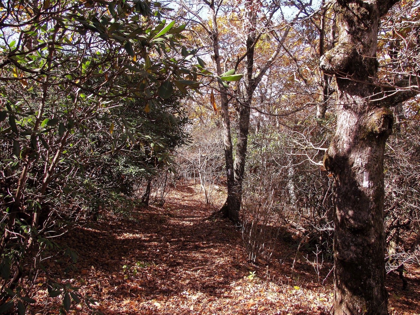
Through the rhododenons.

Even more fall colors...

...here...

...& here.

Rhododendron tunnel.

Cool mushrooms.

Again blue blaze in a spot where it is not needed.

Footbridge.

Here is type of spots road goes left & trail right...no blaze.

At a little over a half-mile in you will come to the Blood Mountain Wilderness sign. FYI to people you still have about 2/3 of the trail to finish in other words you are not about done. Down from here is a split of the trail to a nice camping spot that can save you about $13. It was around here that I briefly spotted a Coyote, I have seen some before, but this was the first time on the trail. The trail did seem like at times it would never end. There were a few more creek crossings and the trail cuts through Mountain Laurel and Rhododendron, which would make this a good spring hike. Finally one spots the fence that signals the road that I had started the loop from earlier in the morning.


Headed back toward the lake.

Back to another footbridge.


Cool fallen tree

This is a nice shot of another footbridge.

Back to the trailhead.

Lake Winfield Scott bathed in...

...fall colors.

A kayak-er enjoying the day.

Another shot of Lake Winfield Scott.

Main pavilion.

Fall colors...

...here...

...& here.

Slaughter Mountain.

Another kayak-er.
Lake Winfield Scott.

Wolf Pen Gap.

Lake Trahlyta & a view of...

...Blood Mountain from Vogel State Park.

With the historical marker of the mountain I hiked!

So, you just follow the trail back to the lake. I could have stopped here, but I decided since it was such a nice day that I would hike the lake trail. Let me say that this is one of the nicest mountain lakes I have encountered. There were also some kayak-ers on the lake, which looked fun. It was a great end to a beautiful day of hiking.


My Take:
For Difficulty - 4 Stars
For Trail Conditions – 3 Stars
For Views – 5 Stars
For Solitude – 2 Stars
Overall – I gave my opinion above.


Pete’s Take:
For Difficulty – 3 Rabbits Paws
For Trail Conditions – 4 Rabbits Paws
For Views – 5 Rabbits Paws
For Solitude – 2 Rabbits Paws
Overall – I loved this trail, it had some good uphill and was not too tough. The hardest part was listening to the Lummox complain about sweating, the wind, getting cold and there wasn’t enough blazes. If it hadn’t been for me he would still be crying on the trail…sheesh! I will admit the view from Blood Mountain is awesome. As for solitude, we passed a number of groups and eat lunch with a couple of people, but they were hikers (who are OK in my book) and no KIDS!