Well, I recently returned to one of my favorite spots in
Georgia…Brasstown Bald. I have covered a lot of the cool things that are found at
Georgia’s Highest Mountain and they are covered in this blog. I will probably
cover some of the same ground as I did in the previous blog. However, most of the
blog will be pictures anyway.
Brasstown Bald earlier in the day from Wolf Laurel Top.
I started the day with a hike at Hog Pen and Tesnatee Gaps, Cowrock Mountain and Wolf Laurel Top (covered here). So I decided a trip to Brasstown Bald was a great way to closes out the day. This is my third trip here the first was in April 2013 while visit two was last October.
April 20, 2013.
October 25, 2013.
Anyway, there are a lot of steep roads that I have climbed over the
years, but I don’t know many that are steeper than the three miles up the GA
180 Spur to the parking area near the top of the mountain.
Headed up GA 180.
The Brasstown Bald sign at Jacks Gap.
With sign.
Headed up the steep GA 180 Spur.
First view of Brasstown Bald.
Near the top.
Jet plane flies over Brasstown Bald.
The observation deck with American flag.
Once at the top for those who don’t
know there is a five dollar charge to park here ($3 after hours). One does get
to ride the shuttle up and down from the top, but on this day I decided to hike
the six-tenths of a mile up the paved, but steep trail. Before one heads up a
stop at the gift shop is recommended. It is one of the nicest anywhere in the
Southeast.
Gift shop.
Memorial to Judge T.S. Candler
The trail up to the summit...
...the green blaze shows the way.
Like I said the green blazed trail is pretty steep headed
up. The first spot if you need a rest comes at the junction with the Wagon
Train Trail which cuts through the Brasstown Bald Wilderness all the way to Young Harris College. This 5.6 mile trail is what the name describes, people use to ride
wagon up to the top of Brasstown Bald.
Wagon Train Trail...
...headed down to Young Harris.
Fall colors on the paved trail up.
Well, I went left up the paved trail, it is here I must say I
don’t like hiking on paved trails. Clingmans Dome and Mount Mitchell have
trails similar ones and I don’t care much for those either. Give me a dirt trail
anytime. While steep it is nice as it cuts through some hard woods and rhododendron which
makes it one of the nicest of these paved summit trails. There are also plenty
of benches in case of a need for a break from the climb. The trail crosses the
road at about the half-mile mark before the final push the top.
Paved trail up Clingmans Dome
Where the Brasstown Bald Trail crosses the road.
The summit.
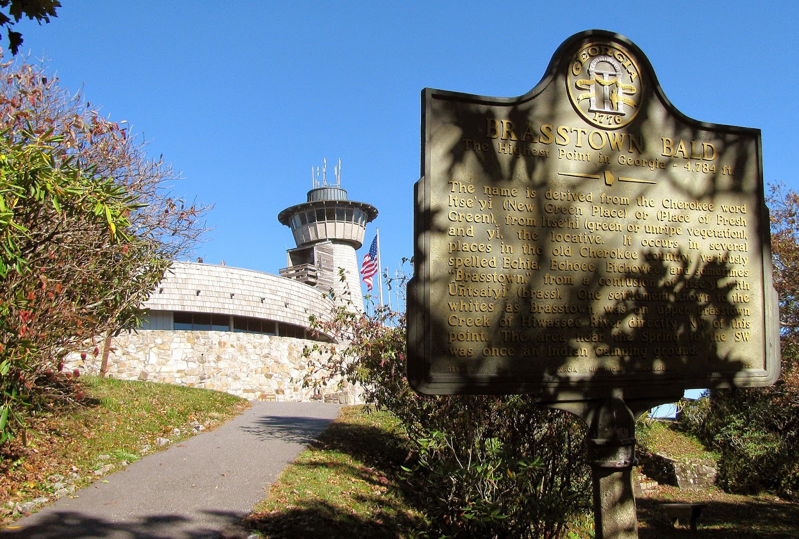
When you get there you know it because of the huge
observation deck. It is bigger than both Mount Mitchell and Clingmans Dome. This observation deck is why it is the easiest mountain to find in Georgia. Unlike those there is a museum and theater in this structure which adds to its
size. In the museum it has a number of
cool exhibits including Native American weapons, a train and two animatronic figures.
One is of Arthur Woody, who was known by the nicknames "Barefoot
Ranger," "Kingfish," or simply "Ranger.” He was a US Forest
Ranger who spearheaded the effort to bring deer back to North Georgia. Oh and
there are not one but two stuffed Black Bears. For those who like to find the geological marker that mark the summit, you need to ask at the information desk because it is behind a locked door.
The observation deck.
Clingmans Dome Observation Tower.
Mount Mitchell.
Panorama of Brasstown Bald Observation Deck.
Some of the exhibits at the museum...
...there is a cool Native American...
....& a train.
The good old "Barefoot Ranger."
The other animatronic figure.
The bears of Brasstown.
You have to ask to see the geological marker it is behind a locked door.
Sign for the Mountain Top Theater.
The fire tower on the summit.
Like I have said before it has one of the
best 360 degree views in Georgia. While I like Blood Mountain better, that is more
personal taste. All the big mountains are visible like the aforementioned Blood
Mountain and Slaughter Mountain. That whole ridge line from Hog Pen Gap to Neel
Gap, Tray Mountain, Rabun Bald and even Clingmans Dome.
East vista.
Rabun Bald.
Tray Mountain, Indian Grave Gap, Rocky Mountain & Unicoi Gap.
Yonah Mountain.
The parking area...
...that green car in the middle is mine...
...the parking area with the vista.
The ridge line from Hog Pen Gap to Jarrard Gap.
Where I was earlier in the day, Hog Pen & Tesnatee Gaps & Cowrock Mountain
Levelland Mountain & Neel Gap.
Blood & Slaughter Mountains.
Sawnee Mountain (no Atlanta today).
Mount Oglethorpe.
With south vista.
Panorama of the fire tower.
West vista.
At the north vista.
North panorama.
Clingmans Dome.
Harris Mountain & Bell Knob.
Cool small lake.
Chimney Top & fall colors.
Dicks Creek Gap & Powell Mountain.
Glassy Mountain.
Tray Mountain.
Rocky Mountain.
With east vista.
The hike down is easier (duh) but is steep in spots. I was
sure I was going to see some kid take a nose dive into the pavement. Since it
was an autumn day there was some nice fall foliage on display.
Sun sinks at Brasstown Bald.
Headed through the rhododendron.
Fall colors.
The crown of the mountain.
Sun at the picnic area.
One last look at the observation deck.
Leaving Georgia's Highest Peak.
One of the things to remember about Brasstown Bald is you
don’t need to be a hiker to enjoy this great vista. Even Mount Mitchell and
Clingmans Dome require effort. All you need here is a few hours and $5 dollars and
you can feel like you are on top of the world.
Addendum: I stopped at Mountain Crossing at Neel Gap on the way home, here are some of the pictures.
I stopped by Mountain Crossing at Walasi-yi on the way home.


No comments:
Post a Comment