Saturday, December 31, 2022

Hiking Machine Here Closing Out The Old Year!

 If you were expecting the Lummox, too bad the Hiking Machine is here with a quick blog about hiking in the GSMNP (Great Smoky Mountains National Park). Since this is supposed to be his blog I was waiting for him to write one, but he is MIA. We should just change this blog to Down The Rabbit Hole since I do most of the blogging these days...what a wuss!

Anyway, we went to the Sugarlands Visitor Center and hiked the Gatlinburg Trail. While it is easy for a Hiking Machine like myself I did get out in the Smokies. The only downside was all of the other people. Well, with that Happy New Year if you are into that and I'm out...BITCHES!


Tuesday, December 27, 2022

Back On The Snow To Laurel Falls


Well Peteoholics I know it has been too long, the whole month of December. Well, the Lummox computer got fried so getting time to share with all my fans has been hard. There also haven't been many hikes. I did carry the Lummox around, to his embarrassment, doing trail work on the AT (Appalachian Trail) with the CMC (Carolina Mountain Club) the Friday before Festivus Friday. I also tested my winter camping gear.


But, I did get out (dragging the Lummox) for some snow hiking, on the AT, to Laurel Fork Falls. Being an AT Hike it is Hiking Machine approved. However, with snow...two paws up!  We started at the Laurel Fork Falls Trailhead, in Hampton, and hiked the Blue Line Trail to the AT. From there it was on the AT all the way to the Falls. I will say seeing it frozen was pretty cool. 


On the way back I carried the Lummox up the Bad Weather Trail and past the Laurel Fork Shelter. There we some cool ice on the creek going and coming back. It was a Hiking Machine kind of day. Well, with that said I just have one thing to add, I'm out...BITCHES!


Saturday, November 26, 2022

A Lackluster Finish For My Beach Time...

Well, after hiking around Shackleford Banks, you knew it was going to be downhill...and it was for the Hiking Machine. 
On Wednesday, I did get some hiking in, including around the Bouge Inlet Pier. Then, on Thursday, it was a beach hike, but that damn Turkey Day got in the way. Oh, the Lummox didn't even fix me any carrots...ASS! Finally, on Friday, it was back to Tennessee, so the Lummox can take care of that mutt Lester.
Well, I know that wasn't exciting, so I'm out...BITCHES!

Halloween 2022


Now, here is a blog that is really late... the one for Halloween. I usually get this out on Halloween night or no later than November 1st. Well, that wasn't the case for 2022. Even with it close to Thanksgiving, there is always time for Halloween photos... enjoy.


Friday, November 25, 2022

Ponies, Fall Colors & Snow All On The Virginia Highlands


It was still October when I finally returned to the trail for an overnight backpack. However, upon the Virginia Highlands in Mount Roger's National Recreation Area (NRA), it felt more like winter...well at least for one day.


This outing, like my last two here, started from the Overnight Backpackers' Lot at Grayson Highlands State Park. It was a bit of a late start, but when you get to see ponies at Massie Gap, that's a win.
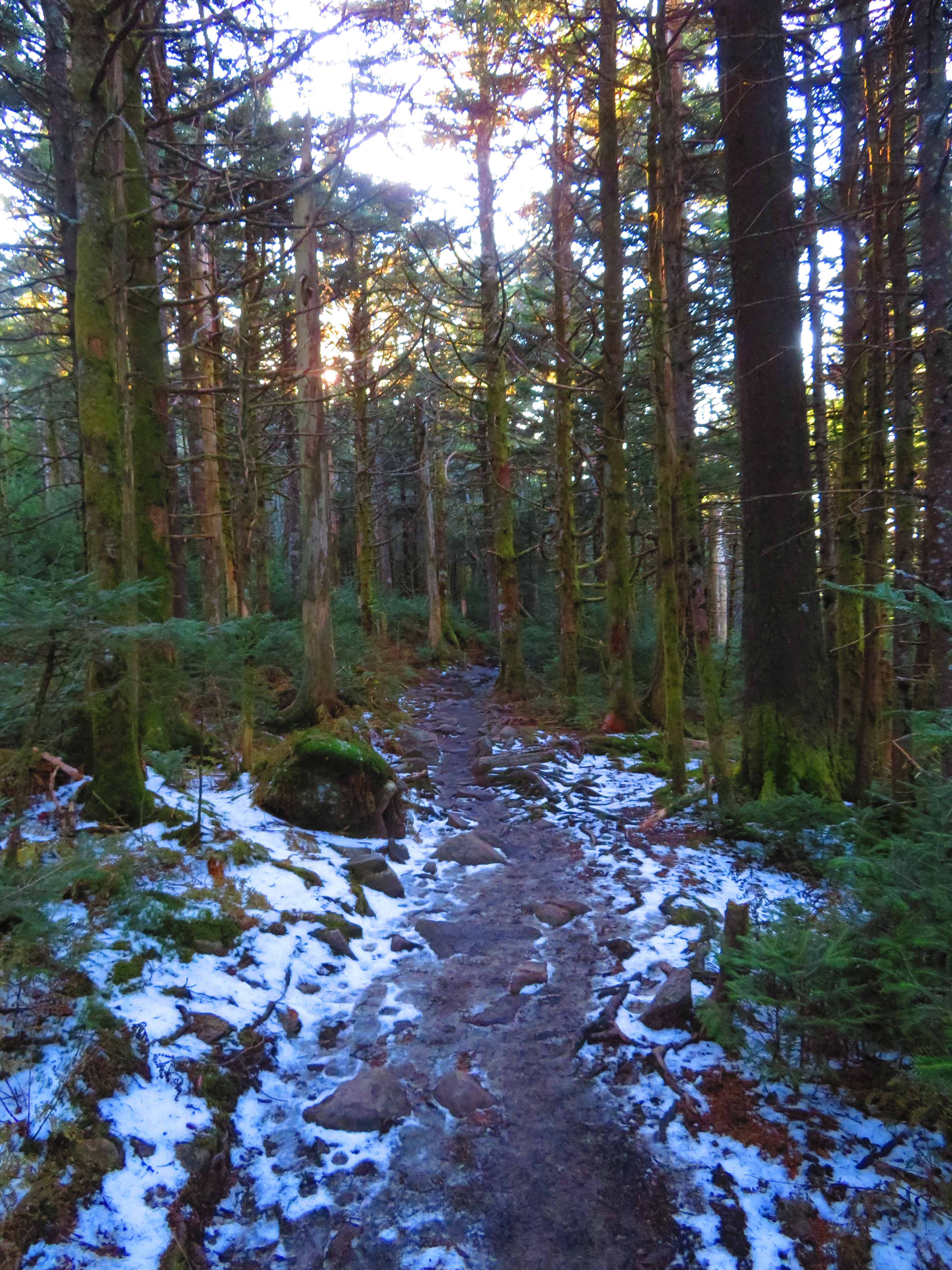
Here, it was on the Appalachian Trail (AT) for a hike similar to the one I did in September of 2021. It was up to Wilbur Ridge, through the Fatman Squeeze, and to the high point of the ridge above Rhododendron Gap. 


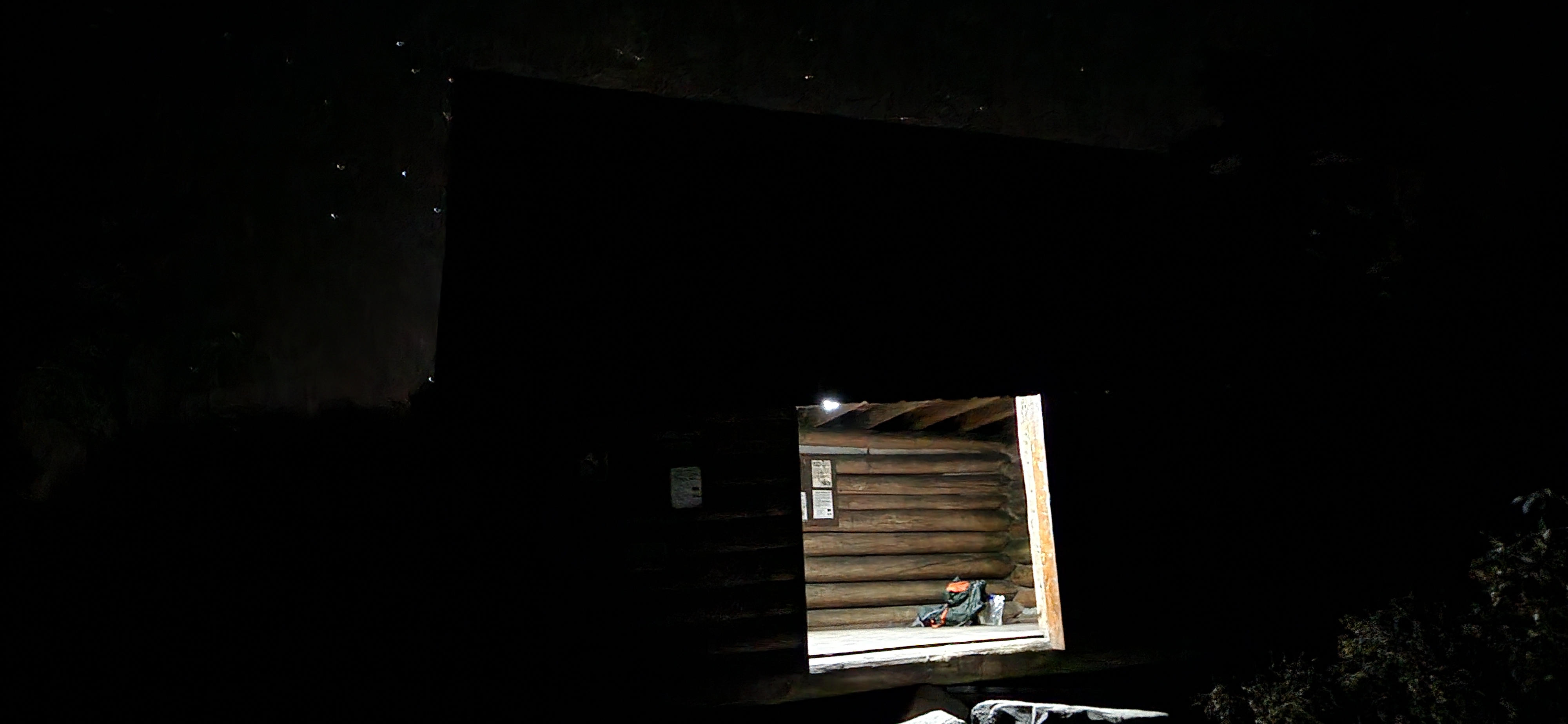
I put the drone up here because I knew it would be a good place to and it didn't disappoint. It was done below that I camped on my last trip here, but this trip was to where I day hiked to then...Thomas Knob Shelter. 


This log, two-story, shelter is the highest on the Virginia AT (5,400 ft.). It sleeps 16, and because I was staying here, it meant no carrying a tent, and the bear box nearby meant no bear canister. 


After getting some stuff set up, I decided to go to the summit of Mount Rogers, which I haven't done since 2018. I figured I could run the drone somewhere, and I mean, it was so close. On my way up, it got slightly colder, and I started seeing snow. I had seen some lying around at Rhododendron Gap, but not this much. It must have snowed here a few days back... sweet! Once at the top, I was pleasantly surprised to find a small opening at the summit. This means I got views from Mount Rogers that people dream of.


Once back, it was time to eat and watch the sunset, which I didn't need the drone for.


That wasn't the case for the sunrise because it was hidden behind Wilbur Ridge, but not from the Drone. It was the same route to Rhododendron Gap, but once up above, it was off the AT and onto the Wilbur Ridge Trail. This goes over the top of the ridge where the AT skirts it. I will say this is more of a day hike path. It was hard carrying a full pack. However, the views were amazing, probably some of the best in the Virginia Highlands. 


Because of a late start and views, it was a little late getting out (supposed to leave by 1:00 pm and it was 2:30). The day was finished in Damascus and a visit to the shelter Thomas Knob replaced, the Deep Gap Shelter moved here in 1992.