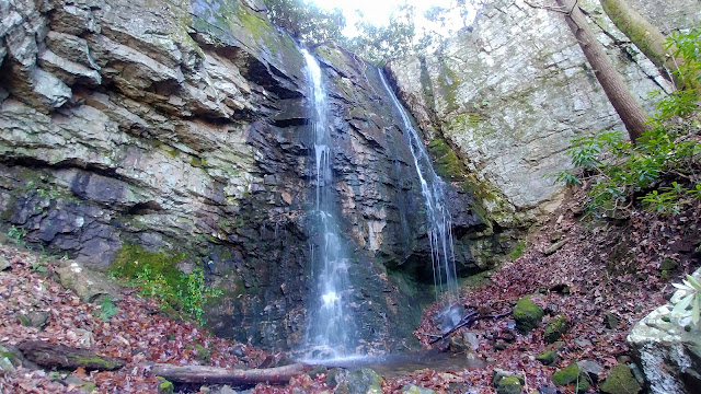
Change is not the first thing that comes to mind when the Appalachian Trail (AT) comes to mind, but it should. Since its creation in 1937, most of the AT has actually been relocated. Some were moved off of roads while other relocated parts have become blue-blazed side or bad weather trails. So, Tuesday my hike combined hiking and my love of AT History. Oh, it wasn't on one of the above-mentioned types of relocations but on one of the abandoned sections of the trail above Watauga Lake.
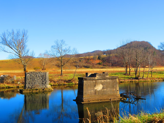
The current path of the AT now goes over Watauga Dam but four decades back it went over the ridge over the lake. This section was not part of the original AT but was re-routed here in the 1950s relocation which included the Roans. But at the start of the 80s, the AT was rerouted over Watauga Dam moving it off the ridge above the northwest end of the lake.
However, for this hike, I wasn't going to do the seven miles because I was solo (and had no shuttle) which means it was an out-and-back. Oh, it is also an abandoned section so I decided to do a part I know is hikeable. This starts from Old Horseshoe Baptist Church and up to the high point of this section which overlooks Watauga Lake. The reason is the Mid-Appalachian Hiking Club (MAHC), of which I am a member, did this hike in early April last year, but I was able to attend. However, I still wanted to do it because rediscovering lost parts of the AT is now a project of mine. But, not knowing the trail I wasn't going in late Spring or Summer because it probably would be overgrown. So, I emailed James who led the hike for a little more info than was on the hike description. While I hadn't heard from him I decided I would use said description and information in the last AT Guide this section appears in. Then on Monday, I received an email from James with some more details of the hike which couldn't have come at a better time.

The actual start of the hike is closer to Wilbur Lake as it starts just off the main road behind the church. The turnoff is right before the bridge that the AT once crossed. At the back of the cemetery, there is an old road that heads up what was also once the AT.


Just after passing a gate, there is an outcrop to the left with a view into the Watauga Gorge. You can see the TVA Watauga Dam Tailwater Picnic Grounds. As with most of the trail, it's straight up and down, but that is how the old trail use to be. When the trail reaches the first Powerline Tower it goes right and widens. Well, except for blowdowns that tighten up the path. On the way, there will be some nice views as you follow the cutline all the way to where the road kind of ends. If you look left and up the ridge, there is a faint trail, just as James said. You will know it's the right way when you reach a tree with a white blaze. Yes, I said am AT white blaze as I can only think that it has survived on this tree for 40 years, it is a piece of trail history and the only one I found all day. Both Pete and I loved it.


The trail is hard to follow, but it is there but when you get near the top you will spot pink survey tape which helps continue to the top of the ridge. On the way up the ridge, I followed the old road just under the crest on the left (as it also heads down from the ridge to the right). I stayed on this until I hit a huge blowdown and had to cut up to the ridge a little early.
After taking a break in a big area with blowdown that had been cleared in the spot it was up the ridge and to a straight steep climb. On the way up this spot, I could see through the trees where the AT rerouted from here goes...across Watauga Dam. I knew from the old AT Guide that I had a little way to go up the high point of this section of the AT.
This is the part of the hike with the best view, not just of Watauga Lake, but also of the valley below including Holston, Buffalo, Bays, Roan, and Unaka Mountains. For a number of reasons including not having any current info beyond this point, the days are shorter and I was getting tired. See I knew I had a couple of nice uphills before it was all downhill. However, I didn't know I would lose the trail as I headed off the ridge.


See, on the way back I took the trail on the ridge to a point where it became overgrown and I had to bushwhack to the old road. Once I reached the spot where the road went down to the left I found some of the pink survey tapes and started down the right side of the ridge. I don't know what happened but I somehow lost the trail. I knew this when the trail got steeper and I was fighting through rhododendron. What made it harder to accept as I was recording the hike on GPS. You would think it would have helped get me back on the path, but the more I looked at it the more I got away from the trail. I wasn't totally lost because I was heading down, but it was steep and I had to slide on my butt a couple of times. By the time I reached the cutline road, I was spent.


So, the final part down was slow because of my heavy legs. But when I turned at the tower I was in the homestretch and before long there was the gate and then the church. Still, I was able to find and follow old AT and go back in time 40 years (kind of). One last thing this is not a summer hike. Not just because that you have more view, but since it is not maintained, it could get overgrown. Overall, it will be a place I revisit, but not in summer.