During the start of my flooding problem, I decided to take a
day for myself and what better way than an Appalachian Trail (AT) Section Hike on the last Saturday in May.
There are a lot of sections on the AT but if you are going northbound toward
Katahdin then there is only one first and that is Springer Mountain to
Hightower Gap. So, when an outing for this section was put up on Hike Georgia I
decided I could finally finish this part of the AT.
 |
| Springer Mountain. |
As anyone familiar with the AT knows Springer Mountain is
the southern terminus of this famous footpath. Now this wasn’t my first trip to
Springer, I first came here back in March of 2013, so I had wanted to do a
return trip for quite a while. Our meetup was at the Dahlonega Wal-Mart and
this was a key swap hike. This is the first time I had participated in one of
these, so here is how it works. First, our hike leader Sue assigned drivers. The
people driving would give their key to another person and that individual would
drive the other person car to the trailhead. Then on the trail at some point,
the groups pass and the drivers get their keys back.
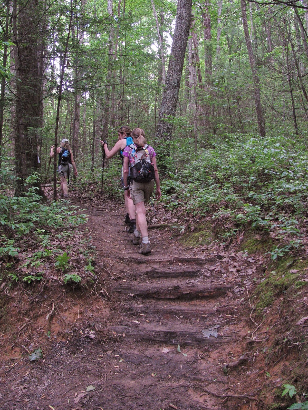
So we divided into groups to ride to the trailhead. The group I went with was going to Springer. I ended up with them because I knew one guy, Chandon, a couple of people said they weren’t the fast hikers so I thought this is my group. Oh, I almost forgot our driver's name was Russ (no kidding). From Dahlonega to the Springer Mountain Parking Area at Big Stamp Gap is about one hour drive up to Forest Service Roads. Like I said above it had been two years since I traveled the very roads that we used. I will say that it was about the same, but there was one spot that was quite a bit more rutted than when I came up (but I still could get the Green Hornet up there).
So we divided into groups to ride to the trailhead. The group I went with was going to Springer. I ended up with them because I knew one guy, Chandon, a couple of people said they weren’t the fast hikers so I thought this is my group. Oh, I almost forgot our driver's name was Russ (no kidding). From Dahlonega to the Springer Mountain Parking Area at Big Stamp Gap is about one hour drive up to Forest Service Roads. Like I said above it had been two years since I traveled the very roads that we used. I will say that it was about the same, but there was one spot that was quite a bit more rutted than when I came up (but I still could get the Green Hornet up there).
 |
| Our group. |
We were the first group to arrive and when Sue got there she
told us more people had come to Springer than had gone to Hightower Gap, I
guess that is the appeal of Springer. Something else I have mentioned before is
that there is no direct access to Springer Mountain. The parking area for the
southern terminus is about a mile from the summit, so to reach it one must
backtrack south on the AT and that is what we did.
 |
| Springer Mountain information kiosk... |
 |
| ...& my group. |
 |
| There are actually two. |
 |
| On the AT. |
 |
| This sign was at Springer back in March 2013, but now it is gone... |
 |
| ...but this one was still there. |
The hike up was like I remembered, it was not too steep but
rocky. The biggest differences from 2013, it was a bit warmer (33 degrees) and
the trail was quite a bit greener. Anyway, the summit of Springer Mountain is a
special place, from the first white blaze to the two plaques, the southern terminus
and the first George Noble. While the view is nice what made it better was the
blooming Mountain Laurel at the summit.
 |
| On this day it was warm and green... |
 |
| ...but on my first visit, it was like this. |
 |
| At the first white blaze & George Noble Plaque... |
 |
| ....the Southern Terminus Plaque... |
 |
| ...& vista. |
 |
| Here I am at Springer in March of 2013... |
 |
| ...& May 2015. |
 |
| White blaze, plaque vista 2013... |
 |
| ...& 2015. |
 |
| Mountain Laurel at the summit. |
On my first trip here I had more time at the summit and the
surrounding area. I hike out to the
Springer Mountain Shelter and even hiked down to the southern terminus plaque
for the Benton MacKaye Trail (BMT). I
have written about this trail before but it is named in honor of MacKaye the
man who came up with the idea for the AT. The trail named in his honor travels
over 300 miles ending at Davenport Gap on the other side of the Great Smoky Mountains National Park. But, we had a lot more miles to do on this day, so we had to bypass the shelter and plaque.
 |
| The Springer Mountain Shelter. |
 |
| The sign pointing the way to the BMT... |
 |
| ...AT has since been added. |
 |
| The start of the BMT... |
 |
| ...& plaque. |
After passing back across FS 42 and the parking area we
headed down the AT and not too long we crossed Stover Creek for the first time.
It wasn’t long after crossing to the creek that we reached where I turned around
in 2013. I remembered back then that my knee was killing me by this time, on
this day I was feeling pretty good.
After passing the trail for the Stover
Creek Shelter (which is 2.8 miles from Springer) it wasn’t long that we crossed
paths with some of the group who came from Hightower Gap. We got the news that
some had taken a wrong turn and were headed to Springer via the BMT; I guess
they forgot the AT is a white blaze, not a white diamond. When we reached Three
Forks the AT and BMT come together, so I understood a little bit more about why
they might have gotten confused.
 |
| Headed on the AT to... |
 |
| ...Stover Creek (& where I turned around in 2013). |
 |
| Pushing on... |
 |
| ...meeting the part of the Hightower group. |
 |
| Footbridge... |
 |
| ....the one at Three Forks. |
 |
| Start of Stover Creek. |
From Three Forks for the next mile, the AT and BMT run together as they head to one of the reasons I wanted to do this hike Long Creek Falls. Georgia has a lot of waterfalls, but on the AT in the Peach State there is really only one large one and that is Long Creek Falls. It is one-mile form Three Forks and is the point where the Duncan Ridge Trail starts and runs concurrently with the BMT which splits from the AT. Earlier in the week, I had messaged Sue about stopping at the falls. She seemed not to know of this spot and was down with a side-trip to it. I had read a number of posts on the internet about the falls and there was a sign that points the way. However, we came to a trail that seemed to lead down to a falls and guess what we did. There was no sign, but recently a number of trail signs had been knocked down so I thought that might be the case here.
 |
| At Three Forks. |
 |
| Hiking the BMT... |
 |
| ...& AT. |
The waterfall I climbed down too was pretty impressive at about 25 feet. But, I knew this wasn’t the main Long Creek Falls. So, while my small group sat for a break I scouted ahead and my speculation was right, I found where the trails split and to the left was the sign for Long Creek Falls. I waited for the group and we headed down the short trail. What waited at the end didn’t disappoint, it was a beautiful 50-foot cascade. I have to say everyone in my group who went to the falls felt the detour was well worth the time.
 |
| Lower Long Creek Falls. |
 |
| Trail... |
 |
| ...sign... |
 |
| ...& Long Creek Falls... |
 |
| ...me too. |
 |
| What a beauty. |
 |
| Some more water near the falls. |
Once back on the AT the last major spot, we had to cross was
Hawk Mountain. The trail wasn’t passed by a fire tower that once sat on its
summit. Today the trail cuts BLANK of the summit and that tower that Gene Espy
once slept in has long since been dismantled. Still, the climb up it is that
steady kind of steep, very reminiscent of Frosty Mountain on the AT Approach
Trail. Once we crested Hawk Mountain it was downhill to Hightower Gap.
Before we finished our path crossed with another group of hikers who were looking at a tree with a large whole. I yelled down to them that it looked like a bear might have denned in. I wasn’t joking, that is what it looked like and they believed me. Russ said that if you say something with enough authority people will believe you, I guess he was right. Anyway, we finally reached Hightower Gap and the rest of the group and with it my third Georgia AT Section.
 |
| A sign points to different trails... |
 |
| ...but we are headed back on the AT. |
 |
| On the trail... |
 |
| ...we passed this meadow. |
 |
| Plaque for Hickory Flats School... |
 |
| ...& cemetery. |
 |
| Headed up Hawk Mountain... |
 |
| Sign to the shelter... |
 |
| ...& Hightower Gap. |
 |
| We made it, section done! |
Before we finished our path crossed with another group of hikers who were looking at a tree with a large whole. I yelled down to them that it looked like a bear might have denned in. I wasn’t joking, that is what it looked like and they believed me. Russ said that if you say something with enough authority people will believe you, I guess he was right. Anyway, we finally reached Hightower Gap and the rest of the group and with it my third Georgia AT Section.