When I decided to go hiking on Friday I wanted to go somewhere new and what better place than Rocky Fork, Tennessee newest state park.
Rocky Fork area of Unicoi County, became a state park 2012 after the U.S. Forest Service purchased the final track of land earlier in the same year. It still has been developed, which means no visitor center, bathrooms but there is a fire pit for presentations. They are in the plans, but they have yet to move forward. Since it had become a state park, I had hiked the outskirts of it last December on the way to Shelton Graves, but not in the park proper.
While there is a large parking area just inside the park, but I opted to park in the little area outside the gate. The majority of the trails in the park branch off the Rocky Fork Trail. The trail passes some waterfalls on the beautiful creek where the park gets its name. The path is an old road bed that is wide and just slightly elevated. wouldn't be the case with the next trail.
The White House Cliff Trail split off to the right. The trail did start out too bad, but the springs around it made it sloppy, almost like a stream bed. It wasn't too bad until I met a man and his dog on the way down. He said it gets steep up ahead, banks right and gets really steep...he wasn't exaggerating. It got steep heading up and then when it turned at the boundary with the Cherokee National Forest it got really, really steep! It didn't help with all of the leaf litter.
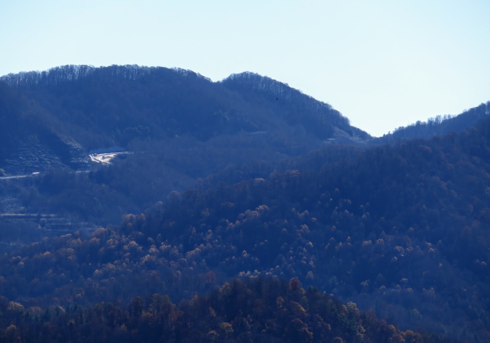
However, once at the top, it was well worth the effort was well worth it. There were views of Flint Mountain, Frozen Knob, Sam's Gap and Big Bald just to name a few. Oh, the West Metcalf Overlook and the Tennessee I-26 Welcome Center were also in view. After enjoying the view it was time to head down.
Let me say the trip down was more harrowing than up. Almost went down at least five times, but I got down. While not the longest trail, about mile-and-a-half out-and-back, it makes up for it in difficulty.
Because I was getting hungry I decided to do another mile, this another out-and-back on the Flint Creek Trail. The main feature of this relative flat hike was a trip tro the "battle" site where John Sevier ambushed a Cherokee. What wasn't advertised on the park map was a small pond that was right before the open are of the battlefield. Before getting there you come to a junction. Left is a ATV path while right is the trail, which crossed a footbridge made out of a fallen tree.
After this it was back the way I came to the parking area and then my car. It was a excellent first visit, but I have just stratched the surface of this ever changing park.