 |
| Fifteen miles to go. |
 |
| That Ferrari thought I was going to slow. |
 |
| 3,108 feet. |
 |
| Mountain Crossing... |
 |
| ...at Neel Gap. |
 |
| Our destination. |
 |
| Well back at the Byron Reese... |
 |
| ...last time I was here it was MUCH colder! |
 |
| On our way up the Byron Reese Trail... |
 |
| ...& into the Blood Mountain Wilderness. |
 |
| Group photo #1. |
 |
| Group photo #2. |
 |
| The creek was flowing today. |
 |
| Going up. |
 |
| This was frozen in February. |
 |
| At Flatrock Gap... |
 |
| ...& the vista. |
 |
| It is time to head up Blood Mountain. |
 |
| One of my favorite rocks with a white blaze. |
 |
| Heading up... |
 |
| ...& up... |
 |
| ...the switchbacks of Blood Mountain. |
 |
| Another cool boulder. |
 |
| With no leaf cover Levelland Mountain is visible. |
 |
| Split white blaze. |
 |
| The winding AT... |
 |
| ...to the first vista. |
 |
| At the vista. |
 |
| Still got to head up to get to the summit. |
 |
| This tree I didn't notice in 2013, but... |
 |
| ...the face is cool. |
 |
| Time for lunch at maybe the best outcrop... |
 |
| ...here is why the vista. |
 |
| Sawnee Mountain wasn't visible and even Yonah Mountain was hazy. |
 |
| At the outcrop... |
 |
| ...& on the way to the summit... |
 |
| ...east outcrop & Levelland Mtn, Wolf Laurel Top, Cowrock & Wildcat Mtn... |
 |
| ...& another large west outcrop... |
 |
| ...another outcrop. |
 |
| Rabun Bald (L) & Tray Mountain (R). |
 |
| The summit &... |
 |
| ...the U.S. Geological Marker. |
 |
| The stone CCC Shelter. |
 |
| The view out the west window... |
 |
| ...& the east one. |
 |
| At the shelter. |
 |
| The panorama from picnic rock... |
 |
| ...& I. |
 |
| The shelter from the Picnic Rock. |
 |
| Brasstown Bald. |
 |
| One last look at the shelter... |
 |
| ...on the way down the AT. |
 |
| Cool rock with white blaze. |
 |
| The junction with the Duncan Ridge Trail. |
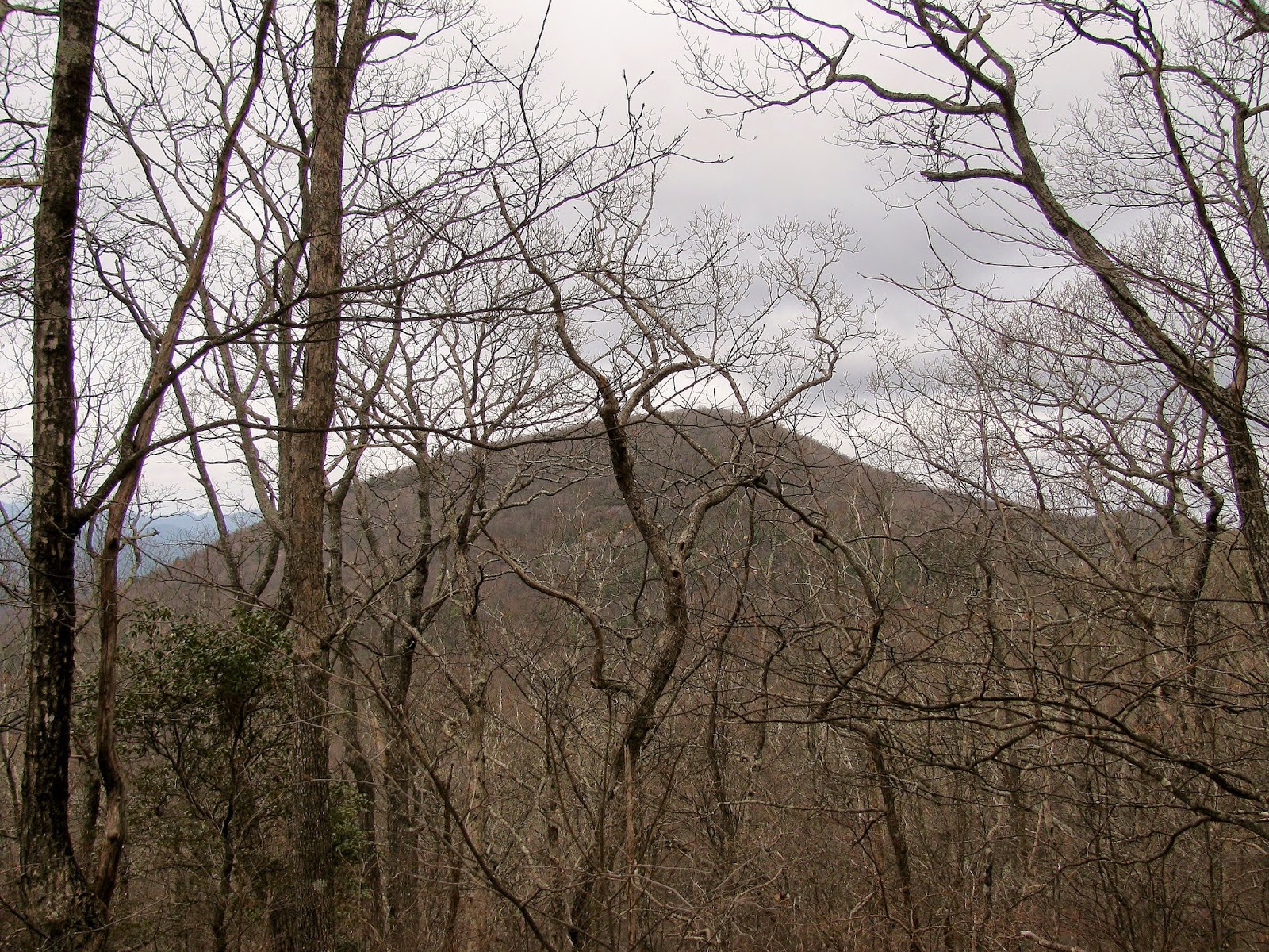 |
| No leaf cover means Slaughter Mountain is visible. |
 |
| At the camp spot I never noticed... |
 |
| ...this map. |
 |
| Junction with... |
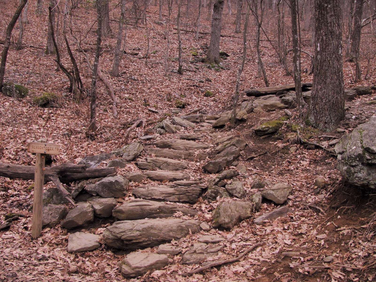 |
| ...the Slaughter Creek Trail... |
 |
| ...which I took back to Lake Winfield Scott in October. |
 |
| On down the AT... |
 |
| ...to Bird Gap... |
 |
| ...& the Freeman Trail. NOBO's don't cheat! |
 |
| Cool tree. |
 |
| Let me say that this is one of the spots that needs maintenance. |
 |
| Re-bar left over from the logging days. |
 |
| Like all of Blood Mountain it is rocky... |
 |
| ...like this. |
 |
| I think they might need a new blue blaze soon. |
 |
| Cowrock Mountain. |
 |
| The group make are way on the Freeman Trail. |
 |
| Spot where the trail was rerouted for this fallen tree. |
 |
| Back at Flatrock Gap... |
 |
| ...back down the Byron Reese Trail. |
 |
| Switchback. |
 |
| They say there is a waterfall that way. |
 |
| Back to the trailhead. |
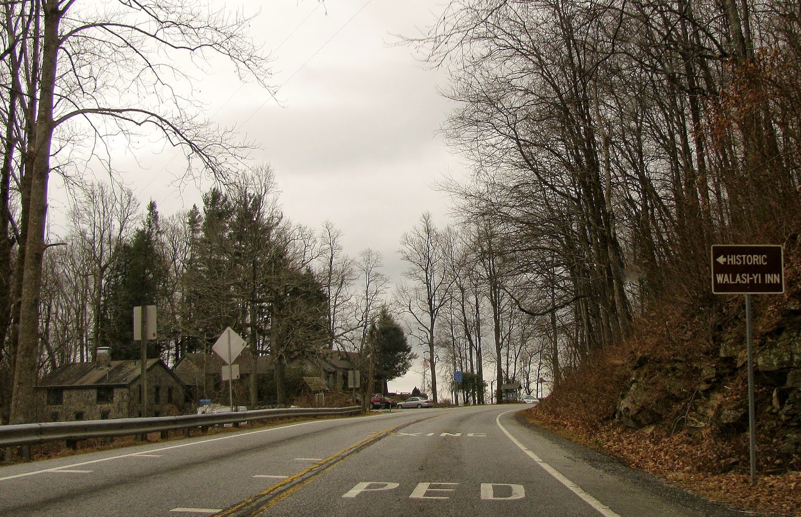 |
| On the way back to Mountain Crossing. |
 |
| Clouds & rain moved in we finished in the nick of time. |
 |
| I met a new friend. |
No comments:
Post a Comment