It was still October when I finally returned to the trail for an overnight backpack. However, upon the Virginia Highlands in Mount Roger's National Recreation Area (NRA), it felt more like winter...well at least for one day.
This outing, like my last two here, started from the Overnight Backpackers' Lot at Grayson Highlands State Park. It was a bit of a late start, but when you get to see ponies at Massie Gap, that's a win.
Here, it was on the Appalachian Trail (AT) for a hike similar to the one I did in September of 2021. It was up to Wilbur Ridge, through the Fatman Squeeze, and to the high point of the ridge above Rhododendron Gap.
I put the drone up here because I knew it would be a good place to and it didn't disappoint. It was done below that I camped on my last trip here, but this trip was to where I day hiked to then...Thomas Knob Shelter.
This log, two-story, shelter is the highest on the Virginia AT (5,400 ft.). It sleeps 16, and because I was staying here, it meant no carrying a tent, and the bear box nearby meant no bear canister.
After getting some stuff set up, I decided to go to the summit of Mount Rogers, which I haven't done since 2018. I figured I could run the drone somewhere, and I mean, it was so close. On my way up, it got slightly colder, and I started seeing snow. I had seen some lying around at Rhododendron Gap, but not this much. It must have snowed here a few days back... sweet! Once at the top, I was pleasantly surprised to find a small opening at the summit. This means I got views from Mount Rogers that people dream of.
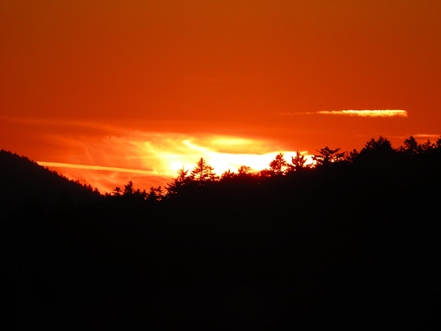
Once back, it was time to eat and watch the sunset, which I didn't need the drone for.
That wasn't the case for the sunrise because it was hidden behind Wilbur Ridge, but not from the Drone. It was the same route to Rhododendron Gap, but once up above, it was off the AT and onto the Wilbur Ridge Trail. This goes over the top of the ridge where the AT skirts it. I will say this is more of a day hike path. It was hard carrying a full pack. However, the views were amazing, probably some of the best in the Virginia Highlands.
Because of a late start and views, it was a little late getting out (supposed to leave by 1:00 pm and it was 2:30). The day was finished in Damascus and a visit to the shelter Thomas Knob replaced, the Deep Gap Shelter moved here in 1992.


No comments:
Post a Comment