
Yeah, I know we are in the last month of Winter and I am just now getting the review of the Fall Outdoor Series up. Well, this blog is like the Fall Outdoor Season...a tumultuous one. While there were plenty of lows, most of the highs were on the trail. September featured some great hikes, including finishing a section of the Appalachian Trail from Tanyard Gap to Allen Gap and The Clinch Coalition Naturalist Rally. October went up with a hike out of Chesota on the AT with Bax. Then things were down (way down) and back up again with a series of hikes to Ramsey Cascade, Bays Mountain, the Beauty Spot and the annual Halloween Hike to Margarette Falls. Then there was the three-day Sierra Club Chapter Meeting. The surprise was November as it was probably the best hiking month of fall. Starting with an overnight backpack to the Walls of Jericho, to a hike in the clouds at Charlies Bunion, a first-time visit to Rocky Fork State Park and the annual Thanksgiving Weekend Hike at Camp Creek Bald. So here are the stats for the 2017 Fall Outdoor Series. Hey, Fall colors in Winter are not all bad.
Total Days Out: 25; Hiking Days: 23 Total Hikes: 26; Urban-Other Hikes: 3
Total Miles: 108.8; Hiking Miles: 104.8; Urban-Other Miles: 4
 |
| Longest: Tanyard Gap to Allen Gap - 9.2 Miles (09-09-17) |
 |
| Shortest: High Knob Tower - 0.5 Miles (09-30-17) |
 |
| Warmest: Laurel Run Park - 85 Degrees (09-22-17) |
 |
| Coldest: AT to Charlies Bunion - Mid-30's (11-12-17) |
Mountain Peaks & Points: 26
 |
| Highest Peak: West Peak of the Fodderstack - 5,572 ft. (11-12-17) |
 |
| Highest Point: AT/Boulevard Trail Junction - 6,036 ft. (11-12-17) |
 |
| Lowest Peak: Canebreak Mountain - 1,518 (09-22-17) |
Fire Lookouts, Towers & Water Towers: 5
Cliffs & Outcrops: 84
 |
| Highest: West Peak of the Fodderstack - 5,572 ft. (11-12-17) |
 |
| Lowest: Walls of Jericho - 1,125 ft. (11-04-17) |
Overlooks: 24
 |
| Highest: Newfound Gap - 5,046 ft. (11-12-17) |
 |
| Lowest: Leatherwood Ford - 874 ft. (10-27-17) |
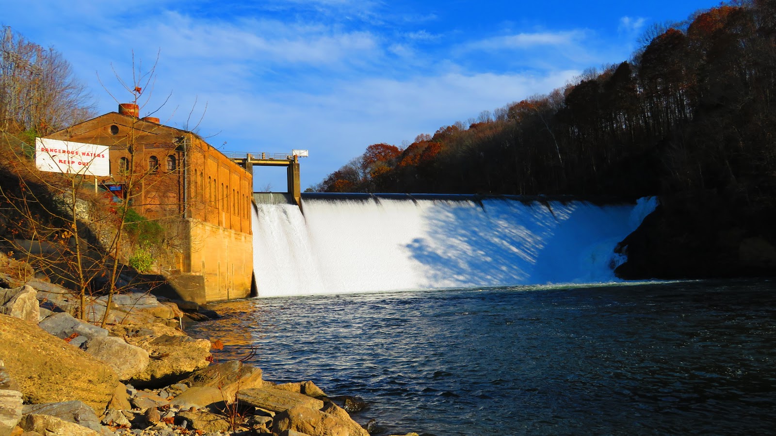
Waterfalls: 22
 |
| Tallest: Ramsey Cascade - 100 ft. (10-21-17) |
 |
| Shortest: Dry Creek Bridge Cascade - 2 ft. (11-13-17) |
Bodies of Water: 14
 |
| Highest & Smallest Lake - 3,550 ft. & 4 Acres (09-30-17) |
 |
| Largest & Lowest Lake: 383 Acres & 1,254 ft. (11-25-17) |
 |
| Highest River: Little Pigeon River - 1,675 ft. (10-21-17) |
 |
| Lowest River: French Broad River - 851 ft. (09-06-17) |
Trailheads: 34
 |
| Highest: Newfound Gap - 5,046 ft. (11-12-17) |
 |
| Lowest: Seven Islands Birding S.P. - 880 ft. (09-06-17) |
Gaps: 16
 |
| Highest Hiking & Road: Newfound Gap - 5,046 ft. (11-12-17) |
 |
| Lowest Hiking: Allen Gap - 2,284 ft. (09-14-17) |
 |
| Lowest Road: Bulls Gap - 1,181 ft. (Multiple Times) |
Shelters: 2
 |
| Highest: Icewater Springs Shelter - 5,935 ft. (11-12-17) |
 |
| Lowest: Spring Mountain Shelter - 3,538 ft. (09-14-17) |
Gift Shops & Visitor Centers: 11
 |
| Highest: Bays Mountain Farmstead - 1,922 ft. (10-22-17) |
 |
| Lowest: Laurel Run VC - 1,161 ft. (09-22-17) |
Wilderness Areas: 1
 |
| Sampson Mountain Wilderness (11-13-17) |
Recreation & Picnic Areas: 3
 |
| Highest: High Knob RA - 3,550 ft. (09-30-17) |
 |
| Chesota RA: 1,687 ft. (10-03-17) |
Campsites: 1
 |
| Clark Cemetery (11-04-&-05-17) |
Major Trails: 5
 |
| Appalachian Trail: 5 |
 |
| GSMNP: 2 |


No comments:
Post a Comment