Camp Creek Bald...No, Laurel Falls...No, Cross Mountain & Blue Hole...Yes!
Somedays hikes don't go as planned and Thursday was one of those days. I knew from the weather that there could be some clouds and a small chance of rain most of the day. however, when I reached Greeneville I didn't expect to not see the mountains as they were completely banked in with clouds. So, I had a decision, hope that the clouds on Camp Creek Bald would clear (the views are a large part of the hike) and risk going up or just put it off for another day.
The clouds & fog made me change plans.
Well, I decided to save it for another day, it ain't like the mountain is going anywhere. So, I headed for Elizabethton and decide when I got there where I would go. The reason was I was considering hiking to Watauga Dam, which I did back in 2014. Beside there I was thinking of Laurel Fork Falls, but unlike the hike, Glen and I did over two years ago I was going to hike up from Hampton on the Blue Line Trail to the Appalachian Trail (AT) and to the falls.
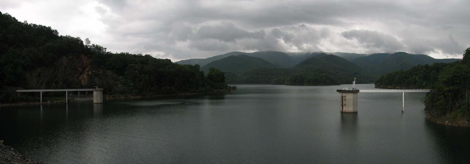
Watauga Dam
Laurel Fork Falls
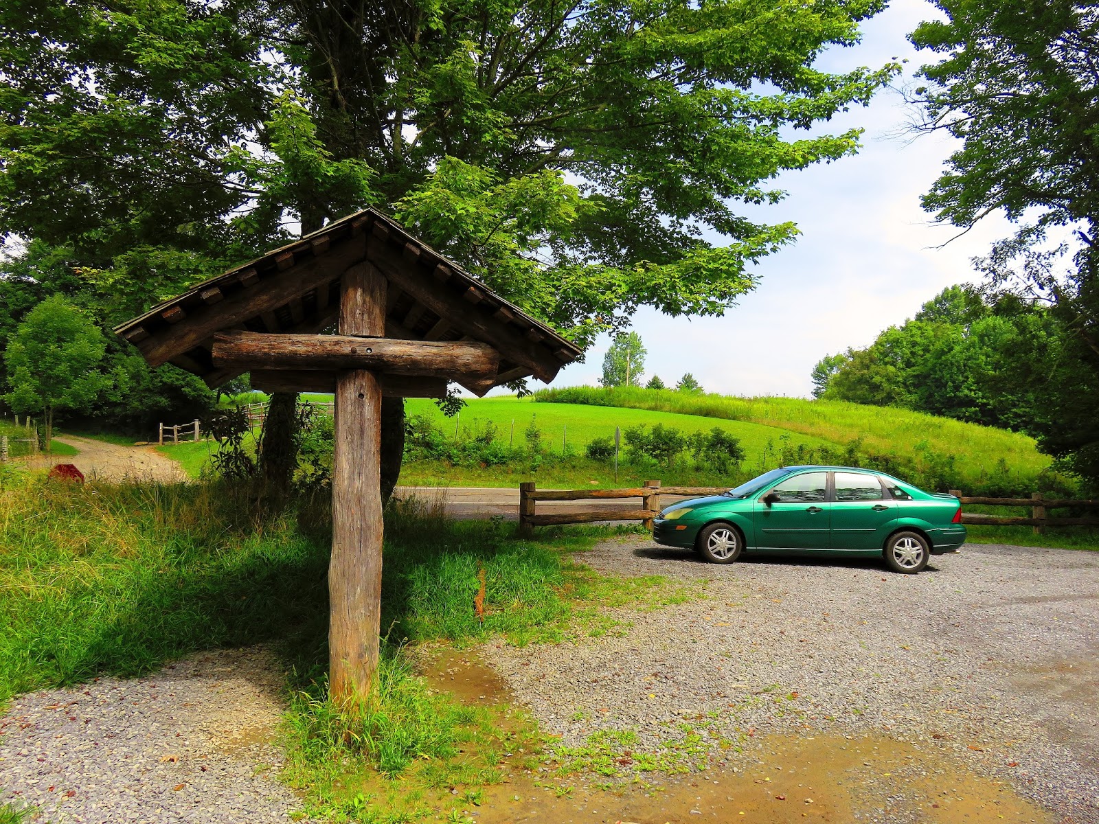
The third option was heading up Highway 91 to where the AT cross at Cross Mountain Gap. When I got to Elizabethton I decided I didn't want to go to the dam so it was down to Laurel Falls and Cross Mountain. With the clouds blanking the mountains and it had also started raining, I decided on Laurel Fork Falls. After the short drive to Hampton, I missed the Laurel Falls Trailhead and had to turn around come back. Then when I finally got to the trailhead I just didn't like "the vibe." I know I this sounds bad but one vehicle looked like a meth car and then there was this one armed guy (no I am not making this up), in a pick-up truck, who asked me for five dollars because he was about out of gas and couldn't get a hold of anyone. Well, I didn't have five dollars and you're only a mile from a gas station why not drive there and call since you need petrol anyway. I just decided it was best to move on, so it was on to Cross Mountain.
Here is where I turned around...
...where I left.
I had to drive back to Elizabethton and from there it was a half-hour up Highway 91 to the trailhead. It sits on the Carter and Johnson County lines. Here the AT crosses a large parking area reminiscent of the ones in Georgia.
Here I am on the way...
...up Highway 91....
....to the trailhead...
...there was nice wildflowers...
...at Cross Mountain Gap.
The first part of my hike here on the AT passes through the old Osborne Farm. The Appalachian Trail Conservancy bought the farm in 2001 and sold it to the Forest Service where the trail was rerouted across this open area. When the AT was rerouted the first half-mile was made wheelchair accessible. One more thing you might see cows or there remains on or near the trail.
Headed three miles to the Double Springs Shelter....
...the first half-mile is wheelchair accessible...
...it was a nice trail.
These were some cool white blazes.
Here are some pictures....
...from Osborne Farm...
...as the AT cuts through.
Here is the end of the accessible half-mile of the AT.
Shady Valley & Mt. Rogers.
First fence cross.
Iron Weed...
...which cows don't like.
Headed toward the trees.
At about a mile the AT heads into the woods and is a nice forested area for mile the trail starts to climb up Cross Mountain around where it looks like some trail relocation work is being done. While it goes uphill it is not a steep incline. Once you top out and head down you will reach Double Spring Shelter. This 56-year old shelter is smaller than average, sleeping up to six. It is here one will also find the junction with the Holston Mountain Trail. From here the hike was back three miles mostly downhill.
Crossing the fence...
...on the...
...wooded part of the AT.
Fall is just around the corner!
Nice AT shot.
Here is AT & maybe relocated.
High summer on the AT.
Heading over Cross Mountain...
...Double Springs Shelter.
Inside.
Jewelweed (Pale Touch-Me-Not).
Holston Mountain Trail.
Headed back...
...across Cross Mountain.
More of the AT.
Black & Green Mushrooms.
Cool Boulder.
Back out of the woods...
...& the open trail...
...nice!
Also Nice!
With a...
...natural white blaze.
Once back at the car, I headed back toward Elizabethton I had one more stop...the Blue Hole. I have heard plenty about it, but I forgot it was off 91 until I passed the sign for it and I then said to myself "If I have time I will stop on the way back" and I did. It is just a mile off the road and only a tenth is on a rugged dirt road. Then the hike down is just over a tenth of a mile (the less steep way down). Once there at the top of the Blue Hole is one of four falls that creates it. The second waterfall flows between to cliffs with one looking like a face. The Blue Hole was pretty nice but it was more green than blue. While I didn't hike up to it there looks like there is a place to be stupid and jump in (yes, people have died jumping from there). The Blue Hole was a nice finish to a long day (I never like when I drive more than I hike).


No comments:
Post a Comment