
Max Patch...there are not many spots on the Southern Appalachian Trail (AT) that are more iconic. This place I refer to as "the Patch" is also know as the Grandstand of the Smokies and a must see. I had been on the mountain three times in the past, but it had been a while since I been on the summit (September of 2015).
 |
| October 2013... |
 |
| ...November 2014... |
 |
| ...& September 2015. |
So, with great weather forecast for Friday, I thought there was no better time for a trip up. A lot of the hiking I had done on "the Patch" I chronicled here. However, Friday I did trek (& drive) across some new ground. First was the trip to driving to Max Patch, which I had gone to or left the mountain three ways. I had come up from the Tennessee side on Max Patch Road. The second was the way I left the mountain in 2013 heading to NC-209 and Waynesville. Route number three was the one I had traveled the most back to Hot Springs via NC-1182, 1181 and 1175 to NC-209. However, Friday I came in a fourth way, off I-40 at exit seven to Harmon Den. It is a seven-mile trip on FS Road, but it wasn't that bad.
 |
| Where I am headed... |
 |
| ...past Harmon Den... |
 |
| ...toward Max Patch. |
The second was kind of shocking because when I arrived I was the only person there if you have ever been to "the Patch" that is odd. It was long before others arrived and by the time I left it was business as usually on the mountain.
 |
| First at "the Patch." |
 |
| While I got my gear together three other cars arrived... |
 |
| ...when I got back it was business as usual. |
For something different number three, I hiked the part of the Max Patch loop Trail I had not completed. At the trailhead, this is the path that heads left starting out in the opening, before heading into the wood. It isn't long before the trail connects with the AT on the north side of Max Patch.
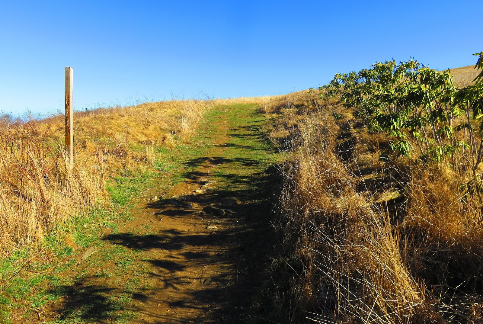 |
| Head left for the first time on the Max Patch Loop Trail... |
 |
| ...it had some great views... |
 |
| ...before hitting the woods... |
 |
| ...& it connected here with the AT. |
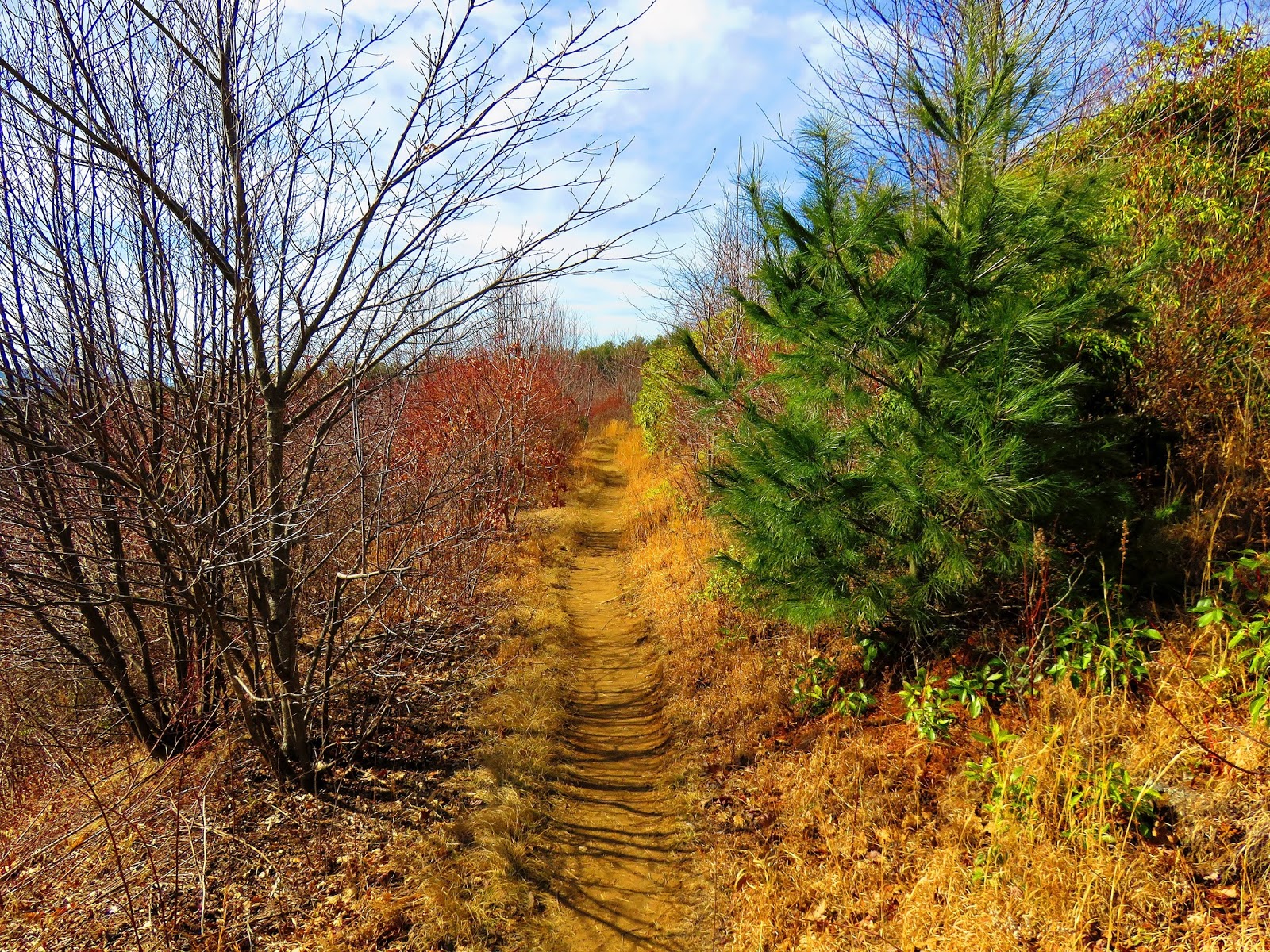
The fourth was hiking the AT to the Roaring Forks Shelter. I decided on this destination instead of Hawk's Roost because it was a little short and I wanted to enjoy the summit a little more. From said summit of "the Patch, " it is about two miles. From the junction with the Max Patch Loop Trail, the AT goes through a rhododendron tunnel before stiles on either side of an old road the AT crosses. The rest of the way is not too difficult and it is not long before the trail descends to a camp site and a sign for water, so you know the shelter is close. It is another tenth-of-a-mile to the junction for the Roaring Forks Shelter. This shelter is different for two reasons. It was a log shelter and it was built recently (2005).
 |
| At the summit. |
 |
| The old AT Birdhouse has seen better days. |
 |
| Down the AT... |
 |
| ...to the Loop Trail. |
 |
| Nice campsite. |
 |
| For a stretch, the Max Patch Loop& Buckeye Ridge Trails merge... |
 |
| ...before splitting (Loop goes left). |
 |
| The loop Trail offers some wonderful views of "the Patch." |
 |
| Headed to... |
 |
| ...the junction with the AT... |
 |
| ...which I continue to... |
 |
| ...to stiles... |
 |
| ...on each side of an old road. |
 |
| Stream crossing. |
 |
| The water spot is 0.1 miles from... |
 |
| ...the sign leading to... |
 |
| ...Roaring Fork Shelter. |
 |
| Inside... |
 |
| ...the shelter plaques... |
 |
| ...firepit outside... |
 |
| ...privy... |
 |
| ...bear cables... |
 |
| ...tent sites around the shelter. |
On the trip back was the fifth as I took a detour on the Buckeye Ridge Trail. The Buckeye Ridge Trail intersects the AT when you exit (or enter) the rhododendron tunnel. This trail traverses a bald area with some excellent views. It eventually merges with the Max Patch Loop Trail, which I then took back to the AT before heading back up the mountain. Overall is was an excellent day, but it always is on "the Patch."
 |
| Where the Buckeye Ridge Trail meets the AT... |
 |
| ...I headed left up Buckeye Ridge. |
 |
| Bear scat? |
 |
| Add caption |
 |
| From Buckeye Ridge some of the views...Max Patch... |
 |
| ...Bluff Mountain... |
 |
| ...& North Carolina Mountains vista. |
 |
| Back on the Max Patch Loop... |
 |
| ...back to the AT... |
 |
| ...up "the Patch." |
 |
| looking back at Buckeye Ridge. |
 |
| My lunch spot! |
 |
| Headed down the AT... |
 |
| ...leaving it... |
 |
| ...for the Loop Trail back. |
 |
| One last look at "the Patch." |
Oh, I almost forgot I finished the day in Hot Springs, while warm it was a good end to the day.
 |
| Hot Springs! |
 |
| My post hiking Dale's Pale Ale at Spring Creek Tavern. |

No comments:
Post a Comment