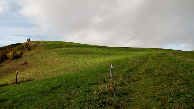
Sometimes when you have plans they change. On Saturday night I Car Camped at Old Forge Campground in Horse Creek.
The plans for Saturday changed a couple of times. First I planned to go to Max Patch for a kind of a backpack. Well, weather and other things led me to put it on the back burner. So, then I planned on a trip to Rock Creek Recreation Area near Erwin. I was going to hike both Saturday and Sunday. Well, my cousin Shawna who is more like a sister to me said to her and her husband Jeff were going to be here looking at properties (because they want to move to Tennessee). It has been a few years since I have seen her so I definitely was going to meet up for lunch. So because of this, I decided to camp at Old Forge.
The plans for Saturday changed a couple of times. First I planned to go to Max Patch for a kind of a backpack. Well, weather and other things led me to put it on the back burner. So, then I planned on a trip to Rock Creek Recreation Area near Erwin. I was going to hike both Saturday and Sunday. Well, my cousin Shawna who is more like a sister to me said to her and her husband Jeff were going to be here looking at properties (because they want to move to Tennessee). It has been a few years since I have seen her so I definitely was going to meet up for lunch. So because of this, I decided to camp at Old Forge.
I mentioned it before in my blogs when I hiked out of here on May Day. I said then I wanted to camp here and this was an opportunity to do that. I thought about site sone but ended up at number eight...it was close to Old Forge Falls, which didn't have bad water flow. On my first visit, I didn't think to look but there is another waterfall that we will call Old Forge Cascade. It flows out into an impressive swimming area with steps down to it.
I mentioned how changing plans can work out...like my pleasant stay at Old Forge. Well, it can also go wrong, like changing my hike on Sunday. I had originally planned to do the Old Forge Loop like I did in May, but add the short trip to Round Knob Recreation Area then down the Davis Creek Trail then up the Artie Hollow Trail to Mary's Falls. This would have made this hike 8.6 miles. While looking at a map by my fire pit at my campsite an idea came into my head. I could park at Margarette Falls Trailhead, but is also the for Phillips Hollow. So, I could road walk a mile go up the Davis Creek Trail then up the Artie Hollow Trail and check out Mary's Falls. But then I would continue up Artie Hollow which ends at the Phillips Hollow Trail. I would then come down it and back to my car...sounds easy enough. Oh, and it cut 2.5 miles off the hike, so what could go wrong? Right...
So, I finished up breakfast and drove the short distance to the Margarette Falls Trailhead, but I did make sure to past the Davis Creek Trailhead on the way. The road walk was fine I did it in just over 15 minutes but it was around 10 am and it was hot and it would just get more so as the day continued. The start of the Davis Creek Trail is well marked, even with a sign that even gives the miles, 1.9 which is wrong, to the Artie Hollow Trail which is 1.7 miles. As I started up it wasn't long before I came to a junction that wasn't on the map. Thankfully I brought sections (on camera) of the hike from Will's book Cherokee National Forest Hiking Guide and it said to go right and I did. The blazing was good as it showed yellow on the trail sign and blue on the tree. For reference it is blue.
The trail went uphill then entered a ridge area with small trees. This is where it really, really got hot. It stayed that way until I entered the woods where it was just got. At just under the mile mark came to a junction where a manway came in from the right. Not far down the trail, I started to cross Davis Creek. It was good because it had water and I needed it I had already used half of what I had (did I mention it was hot). I have talked about the trail condition. Davis Creek was rough with plenty of blowdowns. However, I had no idea what rough was. When I got to the double blaze it let me know I had reached the junction with the Artie Hollow Trail.
I had read in Will's blog that this trail had been ravaged by floods and overgrown...well the last edition of the book was 2005, 14 years ago. This trail looked like it has had that many years of neglect. I have been on manways that are kept up better. Oh, it did look like it has been blazed in the last five years. It was good that it was as there were spots where the trail was grown-up or off in a creek bed. Have I mentioned the blowdown? There was plenty of that I had to traverse. If that wasn't enough I started to see evidence that the water flow on Artie Hollow Branch was almost dried up, which meant my waterfall would be effected.
I slogged on and after close to an hour to go 0.7 miles I reached the first small cascade I read about in the Waterfall Hikes of Tennessee book. The picture in the book was impressive, today not so much. It was too low on flow and I was tired so here is a crappy photo from the trail. It was just up the trail when I reached Mary's Falls and deflated is a good way to describe how I felt. Instead of an impressive cascade, I got a 30-foot trickle. I still went to the base because this was my lunch stop.
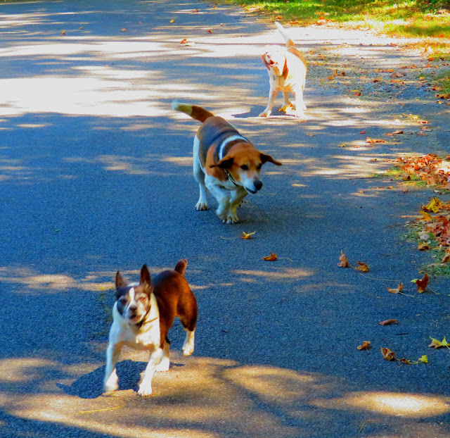
It was here that I decided I had had enough of the heat and slogging up a trail that I had over a mile to get to Phillips Hollow Trail. So, I decided to go back the way I came. The trip back was easier because it was downhill and I was on a trail that I didn't have to slog through. I found my bear bell I thought I had lost and I even didn't mind my little friends...the ankle bitters on the road walk back. Oh, there was a beautiful vista of Blackstack Cliffs and Jones Meadow.


No comments:
Post a Comment