
It has taken about two weeks, but I am finally getting to my backpack at Grandfather Mountain at the end of September.
This outing had three goals, first to finish the four trails that go up and on the mountain. The second to camp on Grandfather and finally to see the view from the highest point on the mountain... Calloway Peak.
This outing had three goals, first to finish the four trails that go up and on the mountain. The second to camp on Grandfather and finally to see the view from the highest point on the mountain... Calloway Peak.


This wasn't my first trip to Grandfather Mountain, but my third. The first time I came from the Grandfather Mountain attraction. This is what most people think of as Grandfather Mountain. It is where the Mile-High Swinging Bridge is and the visitor center. But remember you have to pay to enter here (unless you hike in from the state park). This was the hike I had to go up those ladders on the Grandfather Trail.


The second time I came up from the Daniel Fork Parking Area off the Blue Ridge Parkway. I didn't have to pay since I was day hiking in the state park. I used three trails, the Nuwati, Cragway and mostly the Daniel Boone Scout Trail to get to Calloway Peak. Once I got up there it was banked in by clouds.


So the only trails I had left was the Profile and just over a mile of the Grandfather. With that said I decided this time to camp, but since I was last here regulations had changed. Except for the Daniel Boone campsite, the rest of the 12 were on a first-come, first-serve basis and no charge. Well, starting this June all sites had to be reserved beforehand at the cost of $18 ($15 for site & $3 handling fee). So, I reserved the site, which said room for six, but more on later.

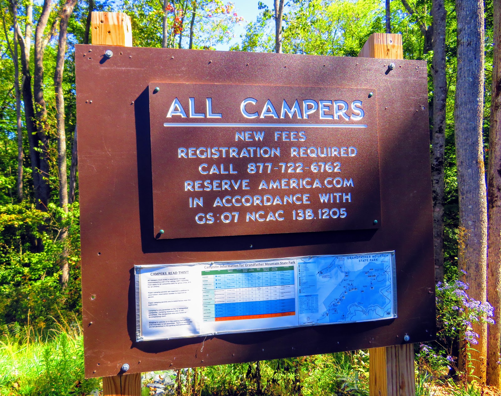
It was supposed to be five (yes I am including Pete), but THE Hike Leader got sick, so it was four. The trailhead is off NC-105, just as you turn-off NC-184, where the big Grandfather Mountain sign is. This is a fairly new trailhead as the Profile was rerouted to here from just up NC-105. It has a large parking area, nice bathrooms and a place to register for day hiking or backpacking. The reroute also added about half-a-mile. This part starts uphill but the turns down as it actually goes below the road grade. It climbs and then goes back down crossing Shady Branch. This is the last reliable water for two miles. So, it is a water option for the Profile Campsite. However, we pressed on planning to get water later.


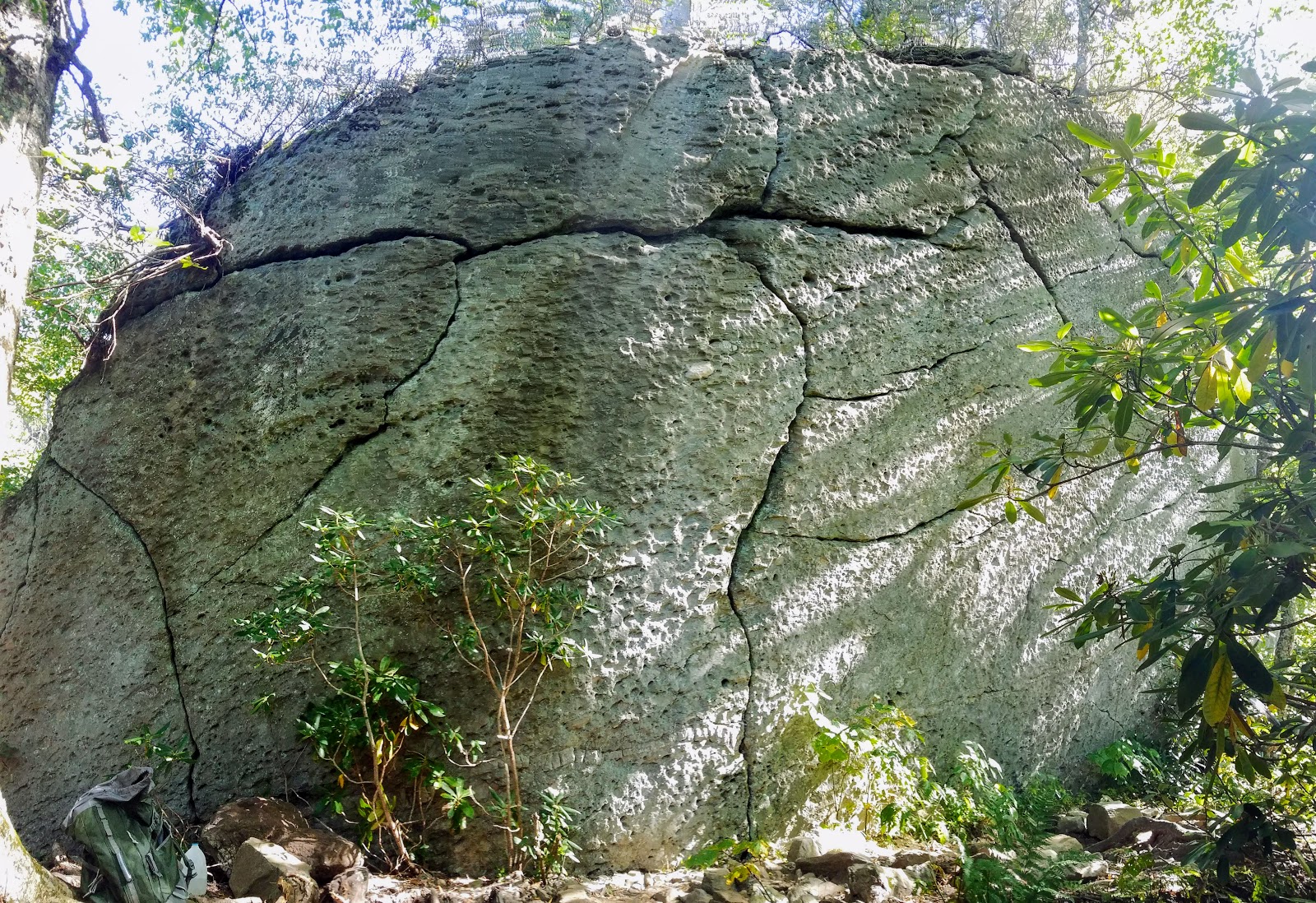
As the trail curves around Green Ridge, it cuts through some fissures in the rock before coming to Foscoe View. Here is the first nice vista of the day It includes views of mountains in North Carolina and the two tallest peaks in Virginia...Mount Rogers and Whitetop Mountain. The Foscoe View sits right under the Grandfather Profile.


It is here the mileage gets wanky. The map said it is 2.5 miles to the campsite, but when we reached the mile marker for it...no campsite. It was a least two tenths more to the Profile Campsite.
I will say this the Profile is a really nice campsite, but small. I didn't see room for six tents...four at the most. So there isn't room to have the kitchen 100 feet from the tents if we wanted that we would have to cook at the bear cables. The fire pit was really cool. It had walls on each side and paintings too.


So after setting up, we decided to do a day hike the rest of the way up the Profile Trail to Calloway Gap. After passing some great rock formations you will see where work is being done to rehabilitate the trail. When we finally got to the Profile View we were surprised to find a mini-trachoe. I asked one of the trail workers how that got it too there and he said: "they drove it." Anyway, it didn't spoil the wonderful Profile View.


From here the trail gets steeper and rocker. Along the way, we passed Shanty Spring, the last reliable water at the top. It is where we got the water going back. From here it gets even steeper and rocker. But soon you can see the sky in the trees which means the trail finally ends at Calloway Gap.


The Tuesday destination was Calloway Peak, which accomplished two of my goals. First this completed part of the Grandfather Trail and the second I will get to see the vista from Calloway Peak. It was 0.4 miles on the Grandfather Trail, past the Cliffside Campsite and the junction for the Watauga View. Then you have to scale three ladders before reaching the end of the Grandfather Trail on Calloway Peak, the highest peak on the mountain.


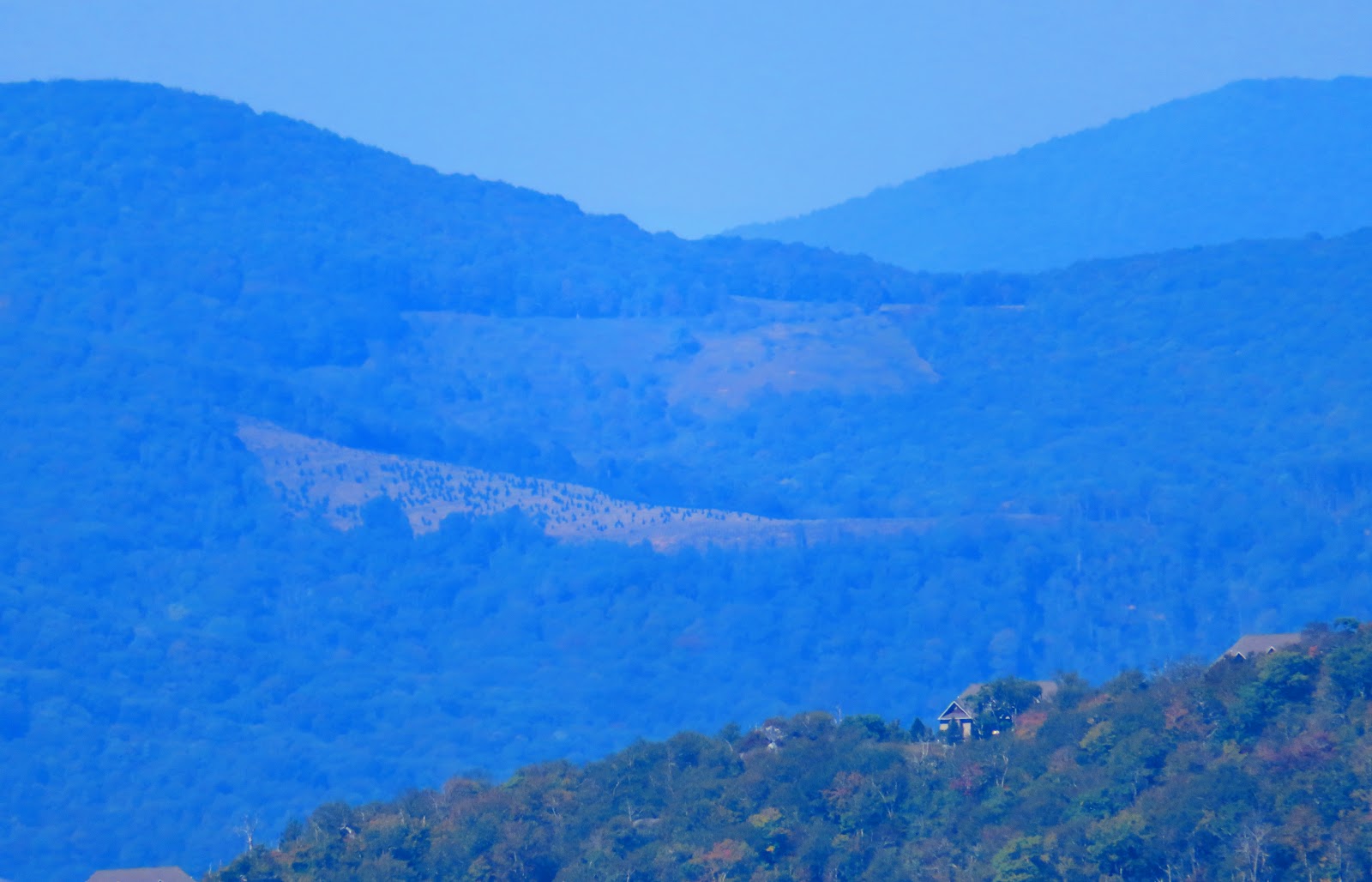
I have to say as little of a view on my first visit, this more than made up for it. There was the main view and other vistas that just made this incredible. On the way back we went the short distance down the trail to the Watauga View.


On the way back we stopped for water and enjoyed an even better view (see cover photo) of the Profile. After getting back to the campsite it was dinner and a well-earned fire.


The next morning we decided to head back up and go the other way on the Grandfather Trail. That is once the chill of the morning past we packed up and hung our stuff on the bear cables.


Once on the Grandfather Trail, it wasn't long before the trail got more rugged. After passing a couple of views we reached a technical climb up a rock face that was the trail. It must be remembered that the Grandfather Trail is rated strenuous, but advanced.


So, for this point on I went on my own to finish the rest of this trail. There were great views and I pasted one of the best campsites ever at Alpine Meadow. I even past my turnaround point of Indian Cave...I realized it when I reached Attic Window Campsite. I will say that the Grandfather Trail, again, got the best of me. When I got back to Wendy and Kathleen I was gassed.


So, that made the hike back to the campsite and the luging of the big back a slog. But we finally made it back I was glad to see the parking area. Oh, I have to mention this guy...I think Dave was his name. We ran into him on the way up to Calloway Gap. He had started at Profile that morning. Then our paths crossed again as he had just been to Calloway Peak and was headed to the Grandfather Mountain Visitor Center while we were headed back. Not only did he go down the big ladders and get to the visitor center. He also hiked up to McCrae Peak...and he almost beat us back. Dave, you are a beastmaster.


Anyway, we were all hungry and since it was a group of carnivores we headed to the Peddling Pig across the road for barbecue.


No comments:
Post a Comment