However, today I decided to go the other way and head up the Phillips Hollow Trail. There are three reasons first I came up the other way the first time, second Artis Hollow that direction is mostly uphill and not great trail condition. Finally, I had not hiked any of Phillips Hollow Trail, so I wanted to go up it (also if I hit blowdowns or rough trail I could come back the way I cam....remember that).
Anyway, it was an early morning drive to a trailhead I know well. Besides the above-mentioned hike to the Davis Creek Trail, I started here for my Bullen Hollow hike in January and many hikes to Margarette Falls.
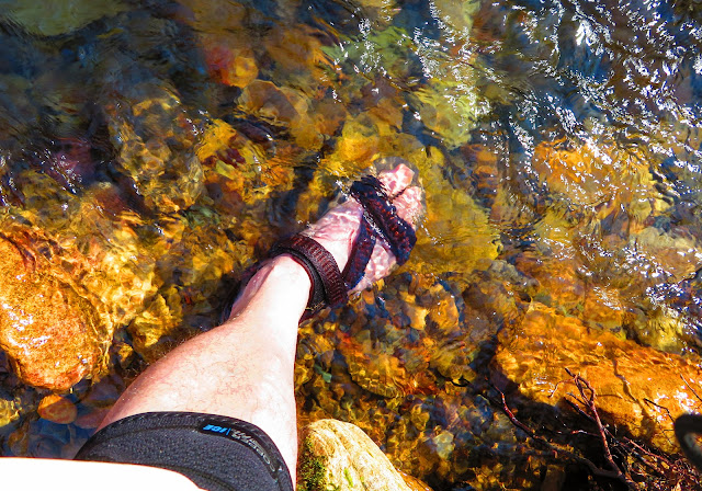
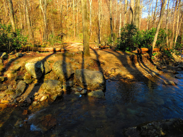
So, I have written verbatim about the half-mile relatively easy hike to the old trailhead where the information kiosk sets. While the Margarette Falls and Bullen Hollow Trails go right the signpost for Phillips Hollow is left. However, the Phillips Hollow Trail actually begins on the other side of Dry Creek. I read in the Cherokee National Forest book Even when the water is down there are many places to rock hope and on this day it was a normal level and that means getting my feet wet. Luckily, I brought water shoes. While they helped me cross they could do nothing for how cold the water turned out to be.
Once across, I got my boots back on then headed to the sign on this side of the bank One thing you will notice on the signs that the mileage is different. The first one says 2.7 and the one on the trail sign 1.6 miles. This discrepancy is because the trail now terminates at the Artie Hollow Trail it uses to head on to the Appalachian Trail at Fox Cabin Gap.
As the Phillips Hollow Trail headed up, but it turned out not too steep. What it lacked in a slope it made up in rockiness. It was rough and there were some blowdowns I had to clear, so it was slow going, slower than I expected. Of the many wonders of this trail, three stood out. The first was an abudence of wildflowers that lined the trail (more on that at the first of May). The other was the nice waterfalls that dot Phillips Hollow. As far as I know,, these falls don't have names and since the creek they are on is the East Branch of Dry Creek I will just call them the Falls of Phillips Hollow. The third, it was actually well blazed.
There are a good number of difficult creek crossings on the East Fork before the trail heads steadily uphill through open forest and coming to an old homestead or logging camp. The old chimney here is now just a pile of debris, but this is a great campsite. It gave me the idea that I can camp to finish the Artie Hollow Trail. The reason I had lunch here and decided that Artie Hollow is far harder than the trail I came up, it is 1.7 miles, plus another 1.6 on Davis Creek Trail and finally the one-mile road walk. It was already 1 pm and I didn't know how long it might take plus I am just tired, so I decided to head back.
But, first I decided to hike the final 0.3 miles up to the junction with the Artie Hollow Trail. It crosses the creek one more time before going through some rhododendron before coming to where the Artie Hollow Trail. There is no sign, but you will know because it goes left with the same blue blaze. I did go up the Artie Hollow a short distance but the CNF book says it gets really steep so I turned around at a stream. Going back was faster I must say, but the rocky sections were still slow going. Once back I had noticed that the where the trail goes left to cross there looks like and old bed going straight. It even had an old sign post and a spot where it has a path down to Dry Creek (maybe this is where the steps where. I will say it was easier to wade across here.
Overall, with the waterfalls and wildflowers I really liked the Phillips Hollow Trail. It will be on my choice of trails for the future.


No comments:
Post a Comment