
This year I had base-camped and backpacked but I hadn't car-camped, so I decided to change that with a trip to Round Mountain Campground.

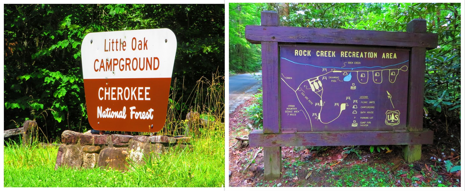
I had past Round Mountain a couple of times and always thought that would be great to camp. Johnny Molloy's book on the Best Tent Camping: Tennessee he said it was his favorite in the guide. Then after my debacle around the 4th of July with two campgrounds being full (Little Oak & Rock Creek) and the COVID Pandameic, I decided a car camp off the beaten path was needed. I can say that Round Mountain more than fits the bill.
However, I planned a hike before I went to the campground. It was actually close to Round Mountain, but I was going to drive to Rattlesnake Gap and then hike a mile to the Appalachian Trail (AT) and Walnut Mountain Shelter. After that, I thought of hiking to Lemon Gap which was about three more miles round-trip.

It is not far past the sign for Round Mountain that you get to the junction for the road up to Rattlesnake Gap. Let me say the road up to here was ruffer than it was on the first of June, but when I started up FS-96 it made what I had driven on look like a paved road. Pete's was right I did have Street Gap flashbacks. Oh, there is a sign not trust GPS with this road and if you look at a map you will see why there is a sign.


So, I turned around and headed back to Round Mountain to get my camp spot and institute hiking Plan B. I didn't expect a crowd when I got there, but Pete and were greeted by no one. Which was fine since I got my pick of spots. The campground is a round loop with 15 spots, two of which (7 & 11) are walking sites. So, I planned to take one on the backside because I figured I was less likely to have neighbors. I pulled into Campsite Number 10, but then I walked on the other side of Rattlesnake Branch (which runs down the middle of the campground can be used for water if treated) to site number 9 and decided it was the one. Each site has a fire pit, lantern pole and tent pad. If you expect facilities this isn't your place. The only one you will find is a duel vault toilet and I read that there was once a water pump, but people kept breaking it, so I just bought my own.


Before setting up I decided to do Plan B which was hiking the Walnut Mountain Trail to the shelter on the AT that shares the name. It is two miles from the campground to the AT with Rattlesnake Gap as the halfway point. I had one thing to do...find the trail. On the map it looked to the left I thought that would be a good place to start. When I saw some yellow blazes on trees I figured that is where it starts and I was right. The trailhead is a site number 15 to the right. It is an old roadbed and shows up on Google Maps as Wolf Creek Road (FS96) which is wrong.


So, it isn't a bad trail as this first-half is uphill, but not super steep. I found a lot of mushrooms on this first section but this is a wet trail, so it shouldn't be a surprise to see them. Another thing you will notice is the color of the blaze changes. It starts as yellow and then goes to blue (on the trail sign it is green). Before long I reached Rattlesnake Gap, where I was going to drive through. However, seeing the road I feel good about my earlier decision.


The trail cross FS-96 and heads through a gate on another former roadbed. Since this part of the trail is exposed meant fewer mushrooms, but more wildflowers. Another thing that also increased was the nats. They got worse, so much so I got my face-net out About a half-mile up (1.5 overall) the trail got steeper, wetter and sloppier. It did give me a chance to see a bear track. I finally came to a small meadow, but no shelter. I knew there was supposed to be one near the shelter, but this wasn't it.


The trail continued to the right, but I soon realized that I was close because I could see Walnut Mountain Shelter at the top of the rise. This is one of the oldest shelters in the southern part of the AT built-in 1938. Above it AT South was the open area some call Mini-Patch because it is a small clearing where you can see Max Patch. Oh, Pete didn't mention this but he had an accident...


After enjoying the shelter and view it was time to head back to Round Mountain. Once back it was time to set up camp and dry my clothes on the car. It was warm but really humid. The next order of business was to cook dinner. I was going to use the fire pit, but I didn't want to start a fire at 5:30 and I was hungry! It looked like at one point we might get a storm, but didn't. So, I built a fire and Pete and I just relaxed.


Once I went to bed I had to get up during the night I had to relieve myself, but as I got back in the tent I heard something big in the woods. I got out and looked for about 10 minutes but never saw anything, so I went back to bed. In the morning I made breakfast (eggs and bacon), relaxed a little, saw a cool effect as the Sun shined through a spider-web, and then broke down camp. I mean I couldn't come up here and not make the short trip to Max Patch.


It wasn't too crowded when I got there, but remember me and Pete had only glimpsed people since being at Round Mountain. So, I didn't have to mask up Wednesday, but that changed Thursday at Max Patch. It also meant I couldn't use my bug net because the nats were bad again. But, it did make it easier to eat Blackberries and my first Wild Blueberries of the year. Anyway, Max Patch is always beautiful and it was mostly clear until clouds started rolling over the Smokies. The reason this is relevant is that I thought of taking a detour on the way home to Snowbird Mountain.


This mountain is home to an FAA Tower and the AT passes by here heading towards Max Patch. You can see it standing out on the summit of "the Patch." I read, while paved halfway up, it was really steep and I got different information on the condition of the road. With what I saw on the road up to a popular spot like Max Patch I leaned towards it not being good. So, with that, the weather and the fact I had put hard miles on the old Toyota I decided when I got off at Hartford exit of I-40 to just head home.


Overall, it was a great two days at my favorite new campsite and one of my favorite spots, Max Patch...nice!

I loved reading this, Russell! It adds to where I want to camp. Old Forge and Paint Mt. See you soon!
ReplyDelete“Pandemic” LMAO
ReplyDelete