As Pete wrote about Sunday we were supposed to go out on that day, but on taking the last load to the car I slipped and fell on some steps. I scraped and bruised up my elbow and back. So, I decided to give it a day and since I had a dentist's appointment on Wednesday, I decided to go out on Tuesday instead of Monday. Also, I was going to get this outing in before the remnants of Zeta blew in.
I had originally planned to go up and hike up and too Unaka Mountain. But, when I got to Erwin I decided to call an audible and go up to Cliff Ridge from Chesota. Since this hike was longer about four to the Unaka Mountain two, so Pete was happy. On my end, the main reason for the change was that after going to Camp Creek Bald almost a fortnight ago the upper elevations were past peak leaves. Since Unaka Mountain is even higher up than Camp Creek Bald, I figured they would be gone (and as you will see later I was right) and the trees around Erwin were popping. It was also cathodic because Chesota was one of the last places I hiked out of before the pandemic.
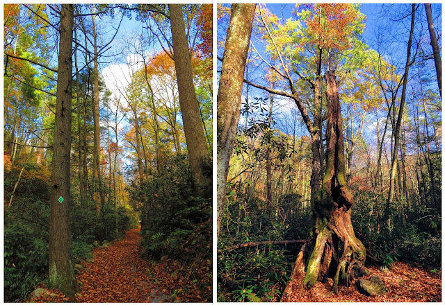
I have done this hike on a number of occasions, but it is uphill but not too steep. Once at Cliff Ridge it was a stunning view as always. While there was color it wasn't as vibrant as I expected. Oh, the area around the Nolichucky River was nice.
Anyway, it was time for my trip up Unaka Mountain, which took me by my camping destination Rock Creek, then up to Indian Grave Gap, and then it was up FS-230 eventually to Pleasant Garden. The reason I was going up here was to look for an old trail that once use to be up there, the Raven Lore Loop. I have said I am going to do something on Ghost Shelters but I also want to include Lost Trails and this one would qualify.
The Raven Lore Loop was a 0.4-mile trail that had little markers that would have a Raven tell you about the mountain. I have only found one map that was on the old sign up there. I figured the job might be easier in mid to late fall because the foliage would be down and they close the road in December. Like I said about Cliff Ridge the foliage wasn't past peak it was gone...like winter.
After hiking around and not finding any trace of this "Lost Trail" it was time to head down. I made a stop in Deep Gap and hiked around a bit. My last stop, before Rock Creek, was a favorite of mine Beauty Spot. This bald has some great view and I visited the spot where I camped at back in July.
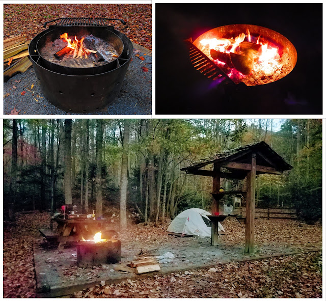
Finally, I got to my campsite at Rock Creek and for those who have never been to the Recreation Area, it is large for a CNF campground. Rock Creek has 38 sites in three loops. It also has a swimming pond bathrooms at each loop and the one has showers. At the very back, near the Rock Creek Falls Trailhead is five walk-in tent sites and this was where I decided to camp. One of the four, #36, was taken so I decided on #34 because it was the most away from others. Since one more person showed up and camped at #37 it was a good decision. One more thing it was a good thing I decided to come here when I did because the campground closes after Halloween Weekend.
After walking down to drop off my money I came back up the Rock Creek Spur Trail to my campsite. Then it was time to set up, get my fire going so I could cook dinner. Since I was making Shovel Lamb and I cook it on the fire. I finished up my roasted potatoes, carrots, and opinions in my lamb grease, which made these some of the best I have made. I have to say this was the best camp dinner I have had...good! This was a wonderful night of camping.
The morning brought clouds, but it was still nice and I had a nice breakfast. I broke down camp because I had a morning dentist appointment in Johnson City. I know rain was on its way and when I checked rain was supposed to arrive at about 10:30 am. So, my plan to go to Buffalo Mountain Park was in jeopardy. However, when I got out it was now 11:00 am, so I decided to head that way after a stop at Mahoney's.
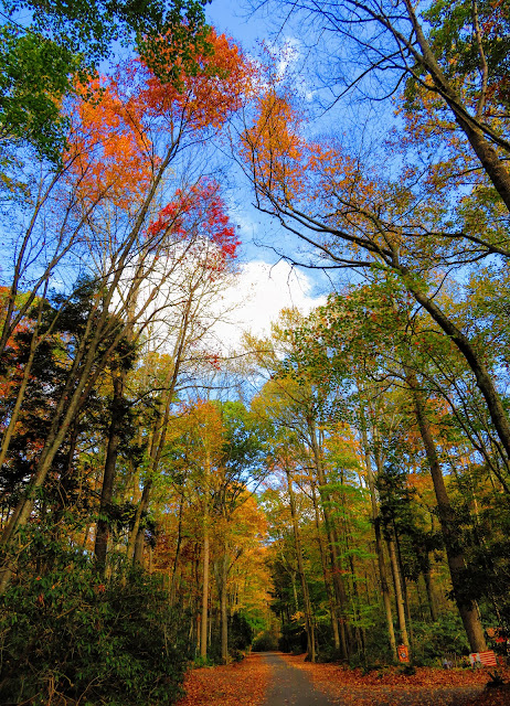
When I started up to Buffalo Mountain I knew I made the right choice as the fall colors were nice. Because of time restraints (mainly because of rain), I decided to go from the Hartsell Hollow Trailhead because I just don't like the upper trailhead. Oh, I would say that the trailhead can't be the Hartsell Hollow Trailhead as the blaze had been changed to pink to signify that this was now part of the Noggin Trail. This was just one of many changes that I saw on the short part of the mountain I hiked. These were mostly new signs and maps at the Information Kiosk at what the map says is the White Rocks Trailhead.
The hike I decided out was to Huckleberry Knob which was just have a mile out-and-back. There was plenty of Autumn color and the vista at Huckleberry Knob. A mother changes we here too. For some time there had been a bench at the knob's overlook. While it is still there they added three more which allow people to sit and social distance. Oh and I like what was put on the Johnson City sign. This hike was the right length as soon as I got back to Johnson City proper it started to rain. While my day wasn't over the hiking and camping portion was and it was a great outing...


Great Autumn photo blog!
ReplyDelete