
If I am going to spend any time in the mountains then you know I would have to go out on our mini-break at Pisgah Inn. As the lodge sits in the shadow of its namesake Mount Pisgah this is where I headed. The reason...I have wanted to hike here even before I got back into hiking in 2013. It goes back to my Blue Ridge Parkway (BRP) trip through here in 2012. Then anytime I was close to Asheville I would see the mountain with that tower sitting on its top and I would say "someday."
 |
| Mount Pisgah from October 2012. |
However, for a number of reasons someday never came. I thought back I might do it this year after my backpacking trip to the Shining Rock Wilderness with the Sierra Club, but I didn't get the chance (I wanted to eat Italian). Then at the start of September I thought about car camping at Mount Pisgah, but that didn't happen.
 |
| Backpacking in the Shining Rock Wilderness back in August. |
 |
| I couldn't resist Italian food. |
 |
| I missed this at Emerald Isle. |
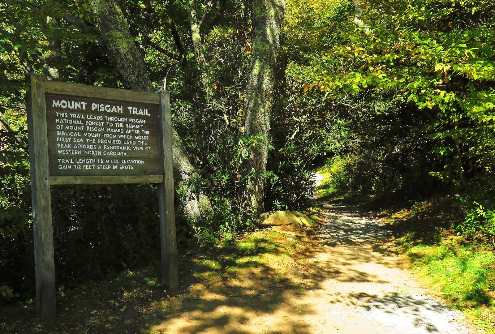
So, when our trip to Emerald Isle was washed out we decided to stay the night at the Pisgah Inn and that gave me the opportunity to hike the mountain. Deb dropped me off at the parking area from there I would hike to the summit and then back to meet Deb at the Pisgah Inn.
 |
| Parking area & Mount Pisgah. |
The hike up is 1.3 miles with the first two-thirds being a moderate climb. The last part gets steeper and rockier and it will get the heart rate up. I have mentioned before that hiking guides tend to underestimate the difficulty of trails (I am talking to you Molloy), but in Jennifer Pharr Davis's book Five-Star Trails: Asheville I think she overestimated this hike.
 |
| Headed up the to Mt. Pisgah... |
 |
| ...not to far is this junction. |
 |
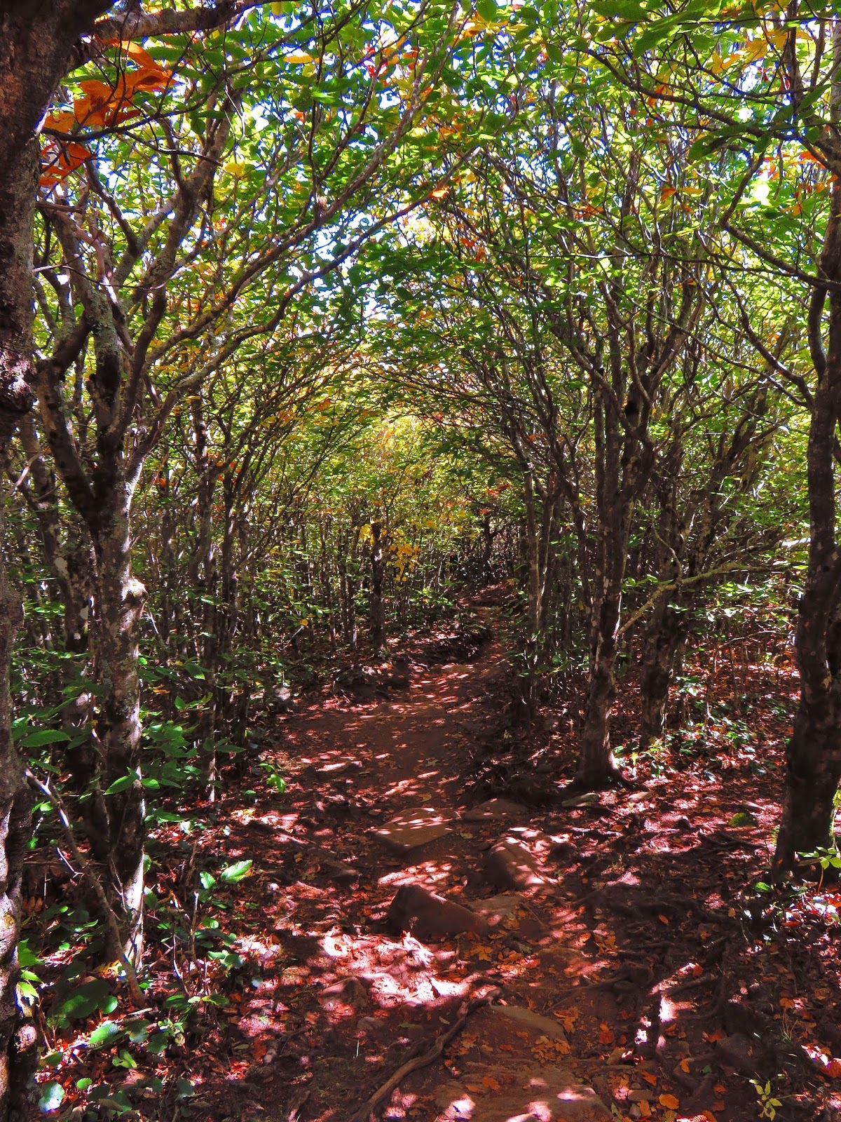
| Autumn in full force on the trail. |
 |
| The destination through the trees. |
 |
| The trail was had a pretty steady grade to start... |
 |
| ...but then got steeper... |
 |
| ...& steeper... |
 |
| & steeper. |
 |
| You are in the homestretch when you see the WLOS Tower. |
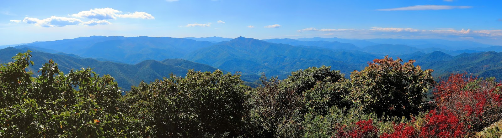
Anyway, once at the top the first you see the 339-foot WLOS-TV Tower that adorns the summit. Like many, it would be nice if it wasn't there, but it does make it easy to spot the mountain. However, the tower isn't the only structure at the summit, there is also a viewing deck which provides vistas of some of the big surrounding peaks like Black Balsam Knob, Tennant Mountain, and Cold Mountain. Also visible is Waynesboro and Asheville (guess that is why this hike is in the above-mentioned book). Oh, and I could see where we were staying, the Pisgah Inn, clearly from the mountain. After some time relaxing and taking pictures (for me and others) I headed back.
 |
| The WLOS-TV Tower up close. |
 |
| The viewing deck... |
 |
| ...& a Wood Booger. |
 |
| West vista... |
 |
| ...& south. |
 |
| Black Balsam Knob & Tennant Mountain. |
 |
| Cold Mountain. |
 |
| Asheville. |
 |
| Waynesville. |
 |
| Mt. Pisgah Parking Area. |
 |
| Buck Springs Gap Overlook. |
 |
| Pisgah Inn. |
 |
| Fryingpan Mountain Fire Tower. |
 |
| The only summit marker I found. |
 |
| Under the tower... |
 |
| ...east vista on the otherside. |
Unlike the hike up when I reached the parking area I still had close to two miles back to the Inn. The path back was the Buck Springs Trail, which is also part of the Mountains-to-Sea Trail. In just over three-tenths-of-a-mile the trail crosses the Buck Springs Tunnel and reaches the namesake overlook. From here is another nice view of Mount Pisgah, but then on the opposite side is a great view of the valley below.
 |
| Headed back down... |
 |
| ...the trail. |
 |
| Some Red Maple Leaves. |
 |
| The final stretch... |
 |
| ...to the parking area. |
 |
| The Buck Springs Trail is part of the MST. |
 |
| View from the Mt. Pisgah Parking Area. |
 |
| The trail comes out... |
 |
| ...at the Buck Springs Gap Overlook. |
 |
| I forgot to take a picture from here so here is one from 2012. |
The trail continues for what it says 500 feet to the site of the old Buck Springs Lodge. Built by the same architects who built Biltmore House in 1895 it was a vacation home for George W. Vanderbilt and family. It was a 22-mile trek from Biltmore, on what is now the Shut-In Ridge Trail, to the lodge that had electricity and hot-cold running water. After Vanderbilt's wife Edith died in 1957 the area, including Mount Pisgah, was sold to the U.S. Park Service for the Blue Ridge Parkway and dismantled. I remember back in 2012 when I hiked up here, it seemed a lot further back then.
 |
| Start of the trail... |
 |
| ...to the lodge area. |
 |
| The Vanderbilt's would come from here... |
 |
| ...to thhe Buck Springs Lodge, which has this vista. |
 |
| ...& information sign. |
 |
| Some of the remains... |
 |
| ...of the Buck Springs Lodge. |
Back on the trail in about two-tenth-of-a-mile the path comes to two trail junctions. The first is the Laurel Mountain Trail, which goes left and the second is Pilot Rock Trail that goes over the top of the forested Little Bald. The sign says 1,200 feet, but it is more like a tenth-of-a-mile. You will also see little wooden number signs, for what I have gathered they were once part of an interpreted trail, which has gone the way of Buck Springs Lodge. Still, it gives the homestretch of the trail a countdown.
 |
| The trail... |
 |
| ...headed back. |
 |
| This first trail junction... |
 |
| Laurel Mountain. |
 |
| Second trail junction... |
 |
| ...passes Little Bald Summit (not bald). |
 |
| The numbered wooden sign (my favorite). |
 |
| Autumn on the trail. |
 |
| There was vistas on this stretch... |
 |
| ...but watch you step there is an edge here. |
You will know you are about there when you pass the staff housing and then you come out at the General Store. Up near the office of the Pisgah Inn, you can see where you hiked to which is nice.
 |
| The homestretch... |
 |
| ...past employ hosuing... |
 |
| ...& the sign at the end. |
 |
| The view from the Pisgah Inn Parking Area. |
Very nice story and pics. Thank you!
ReplyDelete