
In honor of the start or the end with the COVID-19 crisis, of Appalachian Trail (AT) Thru-Hike season with this edition of the Waterfalls of the Blue Ridge. This blog will be about two gorgeous waterfalls that you find on the AT in Georgia...Amicalola Falls and Long Creek Falls.


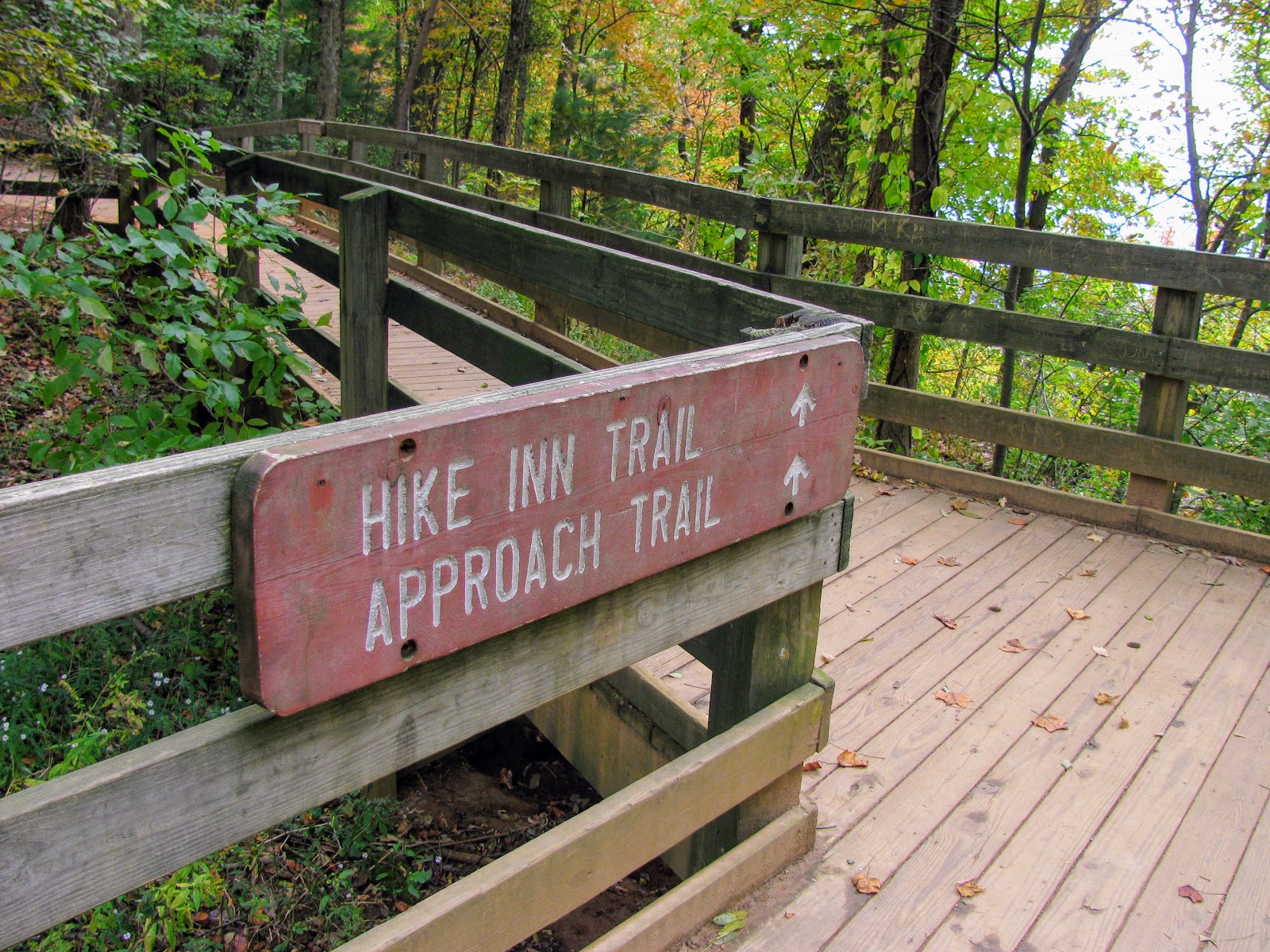
The first one is technically not an AT hike, but Amicalola State Park and the arch behind the visitor center is the unofficial starting line. A lot of thru-hikers start their journey to Maine (or Neels Gap or Springer Mountain). It actually gets hikers a taste of what to expect in North Georgia. The loop hike here for the falls does incorporate part of the original AT and the Approach Trail. However, for this blog, we are going to go up the East Ridge Trail (part of the original AT) and back down the AT Approach Trail. I have done it both ways and this way is the most enjoyable. I mean the reason for this hike is to see one of the most breathtaking waterfalls in the Southeast, this 729-foot giant. That is why it is one of the Seven Natural Wonders of Georgia.


This hike starts at the famous AT Arch you will head straight and start going up. The good thing is it switchbacks through this section. It is about 0.2 miles when you will come to a side trail down to the Max Epperson Shelter. This is a shelter, donated by the "AT Gang" and is for thru-hikers only. The shelter sleeps 12 and has fencing around the windows and door. There is also a tent platform for one. As you continue up there is a spot where the path splits, stay left it is around here you will pass what I called the Dragon Tree. What it really is an example of Native American tree wrapping, which they would do to make it point a specific way an early form of trail marking. As you continue through the trees be careful as this section is really rooty as many hikers can attest. You will also cross a nice footbridge.


The East Ridge Trail comes up and joins with an old road at a half-mile. This part is the steepest and since it is a roadbed it doesn't switchback. What you will find is an exposed ridgeline to the left with great views of the North Georgia Mountains, including Mount Oglethorpe, the original AT Southern Terminus. You know you have reached the top when you see the bathrooms, again, on the left. You will see a sign indicating the direction of the Top of the Falls to the left.


You will hike across a boardwalk, which is part of the AT Approach Trail, to your first view of Amicalola Falls (but not the last). After enjoying the gorgeous view you will soon be greeted by the steps of the staircase that winds around the massive falls. There will be a sign to remind you of the 603 steps that await you. This is the reason this is my preferred way to do this hike.


After the first 425 steps, you will reach the Mid-Point Bridge to the left. The trail here is this sponge material that is easy on the legs. The reason for this is this path comes from the West Ridge Parking Area. For reference, you don't have to hike this loop to see these falls. You can access three levels of the falls by car. Anyway, once on the footbridge you will come to my personal favorite view of Amicalola Falls. You get a good feel for the power of this cascade.


It is another 175 steps down beside the falls to the bottom of the stairs and the last view platform. This is a good place to appreciate how many steps you did and why you are glad you went down. From here a paved trail leads down to the Reflection Pool and a view of the whole waterfall. It gives you a great perspective on the sheer size of Amicalola Falls. I will say the view from here is better in Winter and early Spring and later in the Fall.


The trail crosses the parking area from the Reflection Pool and will skirt the Amicalola Creek and cross the road a couple of times the last is the home stretch going past the Max Epperson Shelter and back to the Arch where the hike started.


Amicalola Falls
Reviewed by The Wood Booger on March 17, 2020
Rating: 5.0 Stars
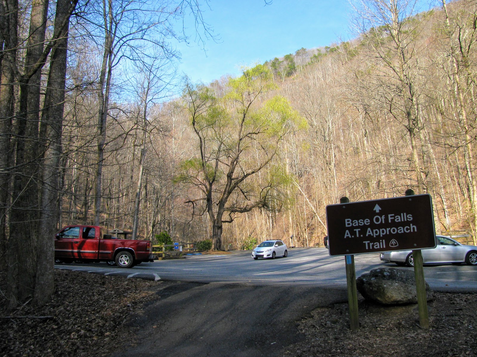
The second hike to Long Creek Falls is a shorter one. When I did this hike it was part of an AT Section Hike from Springer Mountain to Hightower Gap, which is 8.6 miles. But you don't have to hike that far to reach Long Creek Falls. You can start with the Three Forks Trailhead.


To get here (from Amicalola Falls State Park) hen reaching a tee near a white church. You will quickly turn left onto FS 28-1 (has a Bull Mtn. parking lot sign). Take this gravel road for approx. 3 miles until FS 77 (Winding Stairs Road) veers off to the left. Take FS 77 for maybe 9 miles until it dead-ends into FS 42. There is a sign that says Springer Mountain parking lot (I think it was about 4 miles or so) off to the left. Pass this and you will quickly come to FS 58, also off to the left. There is a sign saying Ed Jenkins Rec. area. Bear to the left here. The parking area is 2 or 3 miles further up the gravel road.


One of the cool things about this hike is the AT isn't the only iconic trail you will traverse. The reason here the AT reconnects with the Benton MacKaye Trail (BMT). This trail is named in honor of one of the "Founding Fathers" of the AT. MacKaye. Also, like Americas Footpath the BMT's Southern Terminus is also on Springer Mountain, about 0.1 miles from a junction of the summit. It is identified by white diamond blazes instead of rectangular ones. For the next 1.8 miles the BMT shares the path with the AT, then splits off and reconnects at Three Forks.


It is about a mile uphill on a wide trail, but not too bad with just less than 300 feet of elevation gain. So, it is not a bad hike to the junction where the AT and BMT split for the final time. Just before that there is a steep manway down to a nice 25-foot slide I call Lower Long Creek Falls (original I know). Anyway, as you go up the middle on the BMT it will combine with another trail, the start of the Duncan Ridge. For the falls go left for a short distance to this cascade.


It is just a short distance to the 50-foot cascade...Long Creek Falls. I visited it in May with decent flow, but I have seen it roaring in videos. It was also once the site for a grist mill. It is the best waterfall on the AT in Georgia (and maybe to Laurel Fork Falls). To return head back the way you came. Well, Amicalola and Long Creek Falls are two of the best Waterfalls of the Blue Ridge.


Long Creek Falls
Reviewed by The Wood Booger on March 17, 2020
Rating: 3.8 Stars
Lower Long Creek Falls
Reviewed by The Wood Booger on March 17, 2020
Rating: 3.7 Stars
I missed all the craziness right now, it's nice to see something so beautiful to take our minds off of our current events. Thanks for sharing, the waterfalls are stunning!
ReplyDeleteFound the perfect mountain getaway—check out all the best Things To Do In Blue Ridge Ga !
ReplyDeleteLooking for the best Things To Do In Blue Ridge Ga? Nestled in the scenic Blue Ridge Mountains, Blue Ridge offers a perfect mix of outdoor adventure and small-town charm. Ride the historic Blue Ridge Scenic Railway, explore charming downtown boutiques, hike to nearby waterfalls, or enjoy breathtaking mountain views. Whether you're planning a romantic cabin getaway or a family weekend trip, Blue Ridge delivers nature, relaxation, and unforgettable Appalachian experiences year-round.
ReplyDelete