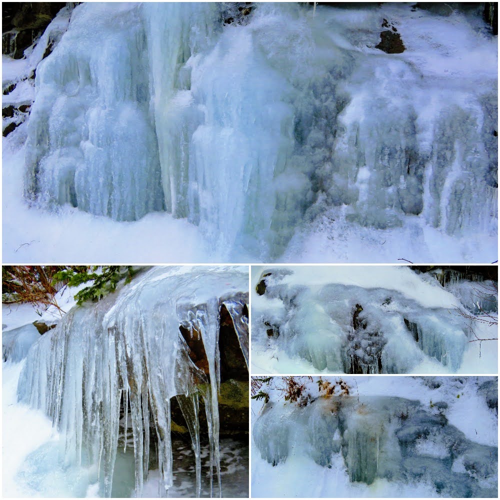
Snow...in East Tennessee in the lower elevations amounts can vary. So, if you want to see or enjoy the white stuff the best place for this is in the high elevation places like Roan Mountain.
I said I might go and find some snow following the light accumulation this
past week. I had heard there were some larger snow totals in the mountains. My two go-to places are
Newfound Gap in the
Great Smoky Mountain National Park (GSMNP) and Carvers Gap on
Roan Mountain. With this snow event, the High County of the Smokies had over a foot in some places. On Roan Mountain, it was in the range of a half-foot.
One of the reasons these make for great launching pads for Snow Adventures is the roads are plowed. However, in the GSMNP they only scrape, but TDOT does that and salts too on TN-143. That means on Thursday morning I checked the
GSMNP Traffic Twitter page to see if the Newfound Gap Road (US-441) had reopened since closing on Saturday. I figured with the 12+ inches of snow that the reason I hadn't seen anything on the site is the road was still closed. That was just the final reason for a decision I had already made it was on Carvers Gap.

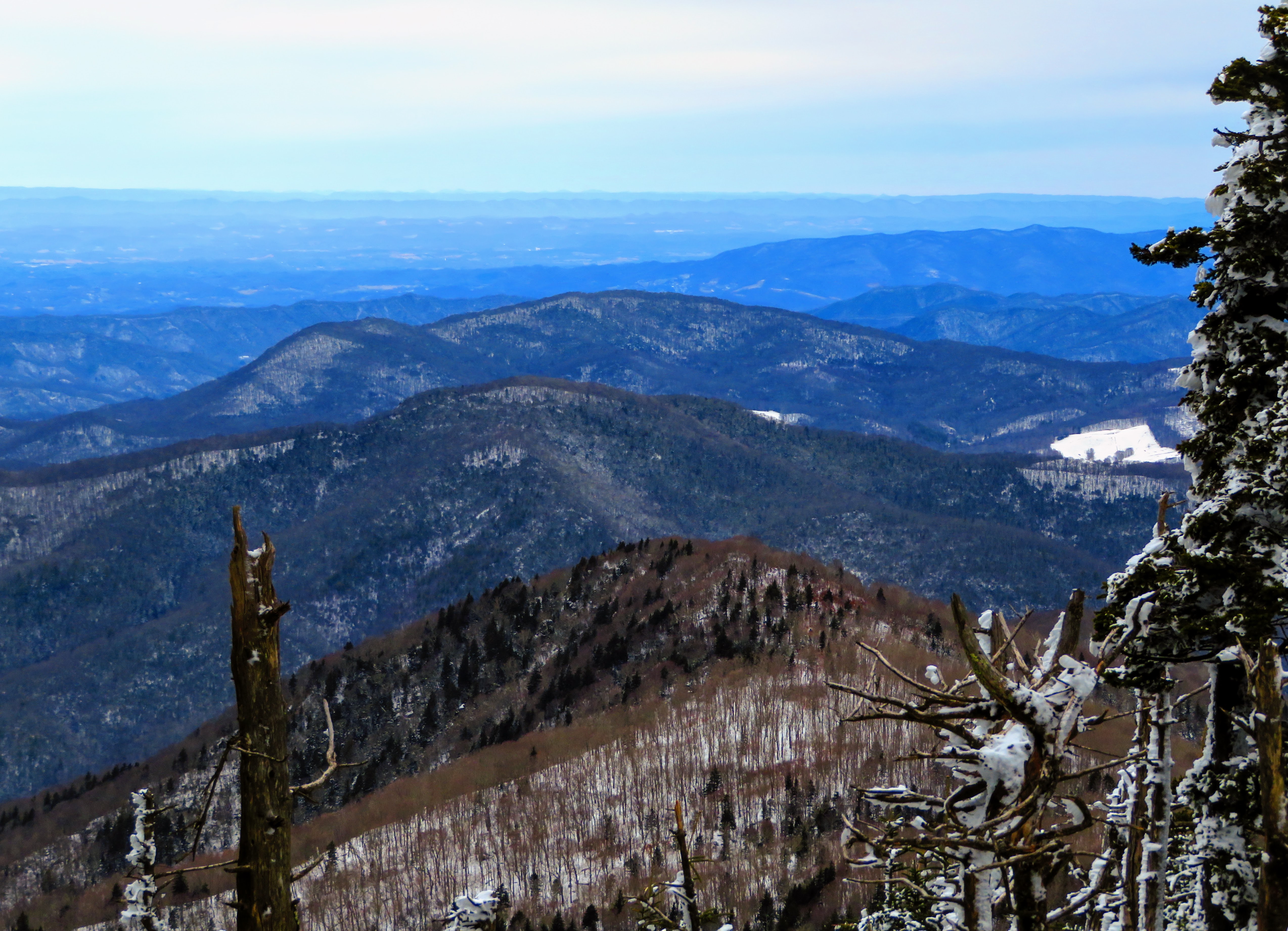
As I drove up towards the Tri-Cites I started to see more snow and when I got to Johnson City there was plenty on the mountains in the distance and a good amount in the town of Roan Mountain. I must say I was a slight bit concerned when I reached the
Roan Mountain State Park, but I pressed on. When I headed up the final part of the way to Carvers Gap the snow started to collect, but not on the road, well that wasn't until I got close to the top. Still, TDOT always does a good job clearing the road. Oh, I am glad I waited a day because I would have hated to see the road on Wednesday. Another reason, while it was windy and cold outside the car it was even more so the day before. One more thing on arriving I noticed the large North Carolina Welcome sign was gone, like the Tennessee State Line one which has been missing for at least five years (and counting). Hopefully, North Carolina won't take so long.


The beautiful Balds of the Roan Highlands were on the back burner for the day. I instead planned to hike up via snowshoes to the old Cloudland Hotel site and then hopefully on out to the Roan High Bluffs. Then coming back go down the
Appalachian Trail (AT). If I had any time to spare I would go up to Round Bald. Anyway, that was the plan but we know "the best-laid plans of mice and men often go awry."
I got these snowshoes a few years ago on clearance from REI and used them a few times here at St. Clair. However, because I had only used them a few times I still didn't use to walking in them and it doesn't help that I hadn't got the hang of putting them on properly. I still wanted to take them out for a proper test hike and I thought this would work.
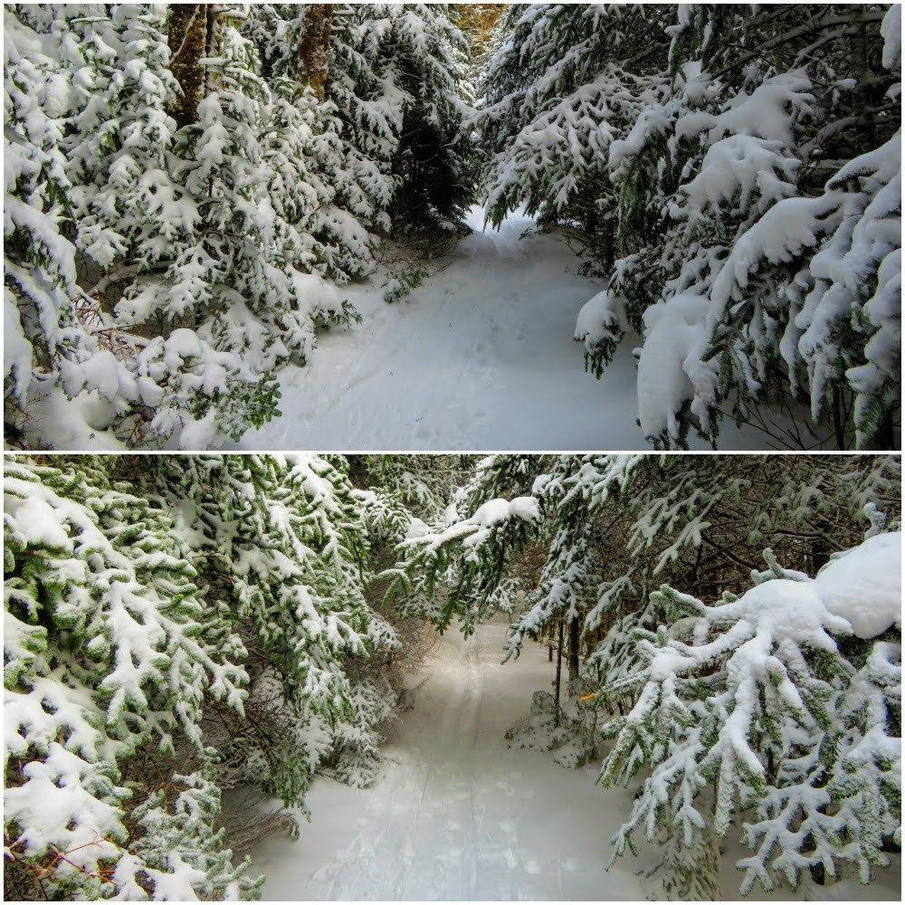
So, I decided to go up the Forest Service Road to Toll House Gap. I had been up this paved road in summer to the Rhododendron Gardens, but that asphalt had been turned white by snow. So, I strapped on the snowshoes and headed up. One of the biggest things to get the hang of is it isn't the same as walking. A course their footprint is bigger that is why they're better in heavy snow. But they can be unwieldy as I found out stepping in some heavy snow my feet got tangled and into the snow I went ( I guess I should have worn my snow pants). Oh, it isn't easy getting up and I would topple over more than once.
On the way up I saw where skiers had been up the road and then two skied past me, it looked more fun than what I was doing...cross-country skies? I will admit it was slow going, real slow! But it was a beautiful climb up the road, I even started to work up a sweat. Then at some point, I crossed a line where the wind picked up and it got noticeably colder (even between gusts).
Finally, I saw the 'Fee Station' sign and I knew I had made it. Like I said I have driven up here and even hiked it once in summer (I give examples of the differences between seasons), but the Cloudland parking area was blanked in snow, deep snow. The only sign of human visitation was ski lines and a snowman left behind.
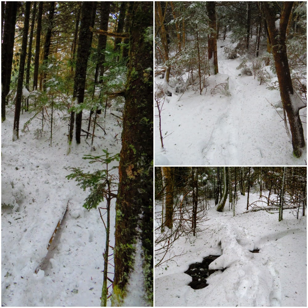
I sat down for lunch at one of the snow-covered picnic tables. Because I had sweated halfway up and it got cold and windy, I got chilled, so I decided to at least trek out to the Cloudland Overlook to keep moving. While someone had skied on the Cloudland Trail I had to cut it to the overlook. Let me say it took effort, I mean in the parking lot there were places with two feet of snow...yes I said two feet. Even with snowshoes that is a slog. I thought about going up to the hotel site and to the AT, but I didn't want to cut any more trails, so I started back via the road.
However after a short bit, I again came to the vista off the trail to the right, but to left is a short distance to the AT, so to shut
Pete up we went left. I have hiked the Coltens Cliff section before, but I don't remember it going uphill like this. By this point, I have decided not to go up to the Roan High Knob and the AT's Highest Shelter.
But when I got to the shelter junction, someone had cut the trail up the blue blaze. So, I took off the snowshoes for the last time and headed to the shelter and summit.
Once back on the AT it had been cut and was downhill, so hiking was not that bad. It is a good thing I took the snowshoes off because I had to duck under quite a bit of snow bent fir trees. Trust me I would have been on my butt...again.
Oh, one other thing of note. Just before making the last turn of the switchbacking down, I ran into a guy snowboarding. Yes, you heard me snowboarding. He told me he had grown weary of the ski resort (I didn't ask which one) and was snowboarding down between trees. If it was me I would have found said trees. One good thing though he flattened some of the AT which helped my tired legs.
After more two-foot drifts just as the AT came up to Carvers Gap I was back at the car. It was 3:45, weather was approaching and I was gassed. Hiking in deep snow, even with snowshoes, will wear you out, so there would be no trip up to Round Bald. No, I just got in the car to headed home...