
I was going to do this chronicle of my Day Hike in the GreatSmoky Mountains Park (GSMNP) to Mount Sterling Fire Tower they way I normally
do, by writing text and adding pictures. When I do these most times I have
descriptions and it occurred to me that I am writing the same thing in the body
and on the photos. I will say these Day Hike Blogs are time consuming. From
writing, selecting pictures and then writing descriptions it takes some time to
do one. So, I thought why not cut out a step, now I love my pictures so the
idea is not have some short text and then just use the descriptions to tell the
store. If it works it will say me some time and since I have a backlog of Day
Hikes it might help. I still will do some full descriptions ones when the blog warrants
it.
Anyway, I went to Mount Sterling back in early winter. I had
seen that old fire tower from a number of locations, and because of that it was
near the top of my Smokies to do list.
 |
| Mt. Sterling Fire Tower from Max Patch... |
 |
| ...& Mt. Cammerer. |
Drive To Mount Sterling Gap Trailhead:
The first part of the hike is not a hike, but a drive. It is the hour-and-a-half to the trailhead.
 |
| Mt. Cammerer looms as I head on I-40 to Mt. Sterling. |
 |
| The exit off I-40... |
 |
| ...cross the bridge (that the AT crosses)... |
 |
| ...over the Pigeon River... |
 |
| ...past the Walters Hydroelectric Plant into North Carolina... |
 |
| ...the road goes straight into the park at Big Creek... |
 |
| ...go left toward Cataloochee... |
 |
| ...Mt. Sterling Road (old NC 284) starts paved... |
 |
| ...most of the way up it is gravel... |
 |
| ...on the six mile drive you pass Mt. Sterling Baptist Church. |
 |
| A round halfway you will come to a fork... |
 |
| ...don't go left... |
 |
| ...but straight. |
 |
| Mount Sterling Gap... |
 |
| ...& the trailhead. |
Trailhead To Long Bunk Trail Junction:
It is here where the hike starts. It is a half-mile to the Long Bunk Trail junction.
 |
| From here it is 2.8 miles to the fire tower... |
 |
| The trail starts uphill (the whole way)... |
 |
| ...but the first section is not too steep... |
 |
| ...to junction... |
 |
| ...with Long Bunk Trail. |
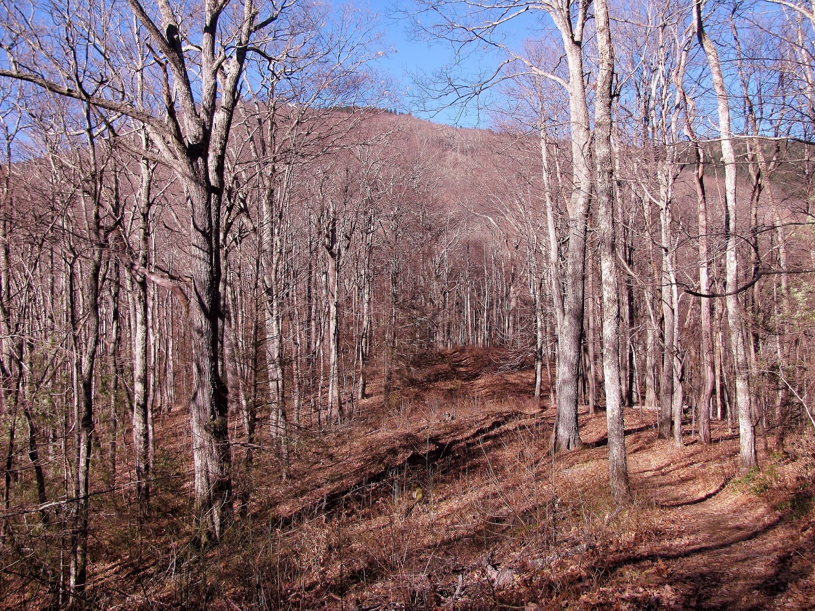
Long Bunk Trail Junction To Mt. Sterling Ridge Trail Junction:
This is a 1.8 mile section that is steep...very steep (not as bad as Low Gap).
 |
| The trail gets steeper from here... |
 |
| ...it follows an old road bed... |
 |
| ...nice vista... |
 |
| ...like I said pretty steep. |
 |
| On the trail is a view of a bald. |
 |
| At just over a mile... |
 |
| ...the trail hits a rutted section... |
 |
| ...just past on a curve is a great look at Mt. Sterling... |
 |
| ...from here it heads into the sun... |
 |
| ...the trail starts to move through... |
 |
| ...more Fir Trees. |
 |
| Nice look at the soon... |
 |
| ...& a North Carolina vista. |
 |
| Final stretch to... |
 |
| ...the junction... |
 |
| ...Mt. Sterling Ridge Trail... |
 |
| ...other side of the junction sign. |
Mt. Sterling Ridge Trail Junction To Mt. Sterling Fire Tower:
From here it is a half-mile to the fire tower. This part of the Mount Sterling Trail connects with the Benton MacKaye Trail (BMT), which starts in Georgia and ends at Davenport Gap.
 |
| Last 0.5 miles intersects with the BMT. |
 |
| Some health & not so health fir trees. |
 |
| The trail is not just for hiking... |
 |
| ...also horses... |
 |
| ...sign says it. |
 |
| First look... |
 |
| ...Mt. Sterling Fire Tower |
Mount Sterling Summit:
The wooded covered summit of Mount Sterling.
Mount Sterling Fire Tower:
Since the summit is wooded to get any view you have to climb the old 60-foot tower. While you couldn't tell on the ground, but as I went up the wind was whipping. It made the climb interesting as the tower was moving a little.
Trip Back To Mount Sterling Gap:
Here is the 2.8-mile trip back to Mount Sterling Gap.

 Pete’s Take:
The wooded covered summit of Mount Sterling.
 |
| First thing you come to is Campsite #38... |
 |
| ...bear cables. |
 |
| Fire tower... |
 |
| ...U.S. Geological Survey Marker... |
 |
| ...utility shed... |
 |
| ...the only non-tower vista at the summit... |
 |
| ...Mt. Pisgah... |
 |
| ...BMT/Baxter Creek Trail heads toward Big Creek. |
 |
| Next stop the top. |
Mount Sterling Fire Tower:
Since the summit is wooded to get any view you have to climb the old 60-foot tower. While you couldn't tell on the ground, but as I went up the wind was whipping. It made the climb interesting as the tower was moving a little.
 |
| Headed up... |
 |
| ...vista from the tower... |
 |
| ...almost there... |
 |
| ...glad I got here because the wind made the climb a white knuckler. |
 |
| East vista... |
 |
| ...North vista... |
 |
| ...West vista... |
 |
| ...South vista. |
 |
| Some of the peaks visible...Clingmans Dome... |
 |
| ...Big Cataloochee Mountain... |
 |
| ...Mt. LeConte, Mt. Guyot & Old Black... |
 |
| ...this mountain is known as White Rock or Sharp Top or Mt. Cammerer... |
 |
| ...here is the fire lookout... |
 |
| ...Snowbird Mountain & the FAA Tower... |
 |
| ...& the bald of Max Patch. |
 |
| In the tower... |
 |
| ...one last look. |
 |
| It is a long way down |
 |
| Shadow of the tower. |
 |
| One last look back. |
Trip Back To Mount Sterling Gap:
Here is the 2.8-mile trip back to Mount Sterling Gap.
 |
| Headed back down... |
 |
| ...past this cool tree. |
 |
| Here we go left. |
 |
| Rugged spot... |
 |
| ...but there were this vista... |
 |
| ...& that one. |
 |
| Looks like a summer tunnel. |
 |
| Headed out of the firs. |
 |
| Dragon tree. |
 |
| Back to at the Long Bunk Trail junction... |
 |
| ...just a half-mile... |
 |
| ...back to Mt. Sterling Gap & the end of this GSMNP Day Hike! |
Mt. Sterling Fire Tower Rating:
My Take:
For Difficulty – 4 Stars
For Trail Conditions – 3 Stars
For Views – 5 Stars
For Solitude – 4 Stars
Overall – I gave this four stars for difficulty, while not long it is a steep go all the way to the top. While a wide trail, it is washed out in places and is not as well groomed as some other Smokies trails. There are not a lot of views at the summit, unless you climb the 60-foot tower, but it is well worth the effort. On the day I was there only two others were at the summit, so for the Smokies it isn't that busy. That might change on weekends or the warmer months.
Pete’s Take:
For Difficulty – 2 Rabbits Paws
For Trail Conditions – 4 Rabbits Paws
For Views – 5 Rabbits Paws
For Solitude – 4 Rabbits Paws
Overall – It is a little steep, but I don't know what the Lummox is complaining about I had to carry him. The trail is fine by Pete standards. After I drug him up to the top of the fire tower and the Lummox stopped crying it is a five-star view. I will keep the last one short...NO KIDS!
Thanks for this. You helped us find our way back to this area. Great photos.
ReplyDelete