
Camp Creek Bald or as some know it Viking Mountain towers above Greeneville. I have made three previous trips here and have documented them here and here. I have hiked north on the Appalachian Trail (AT) from Camp Creek Bald to spots like Jones Meadow, White Rock Cliffs, Blackstack Cliffs and Big Firescald Knob, but I had nerved hike the other way. Well, this past Saturday I did just that hiking the seven miles to Allen Gap with the Greeneville Hiking Club, Instead of a Day Blog I decided to just do an AT Day Hike Blog. Unlike all of the thru-hikers we met, we went south on the AT. So, here is a chronicle of our hike this past weekend.
 |
| Winter on Camp Creek Bald from Greeneville. |
 |
| Jones Meadow... |
 |
| ...White Rock Cliffs... |
 |
| ...Blackstack Cliffs... |
 |
| ...Big Firescald Knob & Camp Creek Bald. |
Drive To Camp Creek Bald:
I have written about this in more detail here, but I am just going to add that considerable work has been done on the road from Jones Meadow to the parking area just under the summit of Camp Creek Bald.
 |
| Start of the road to the summit parking. |
 |
| The road had been grated & gravel added. |
Camp Creek Bald Summit:
Before heading south on the AT I made a stop by the old fire tower on the summit of Camp Creek Bald. This was my third visit here and like those previous times I took a few minutes to enjoy the view.
 |
| The fire tower... |
 |
| ,,,summit stone under the tower.... |
 |
| These old buildings have seen better days. |
 |
| Vista from the first landing into North Carolina... |
 |
| ...back into Tennessee... |
 |
| ....& Greeneville. |
 |
| The communication towers... |
 |
| ...near the summit. |
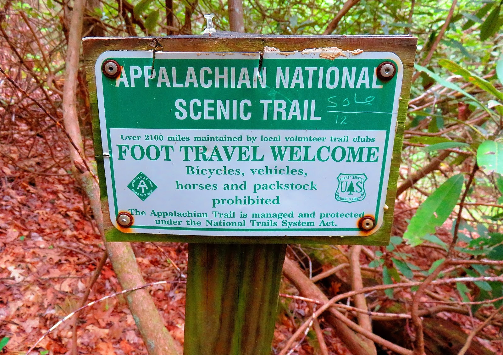
AT Junction:
The trail down from the summit (or up I have done it both ways) is two-tenths of a mile. The junction with the AT is a four way. Straight heads down the Pounding Mill Trail while left is north on the AT and south is right. The white blaze for the northbound trail had been turned around and I turned it back.
 |
| Met some thru-hikers headed up to Camp creek Bald. |
 |
| Pounding Mill Trail. |
 |
| AT headed north (someone messed with the sign)... |
 |
| ...where we are headed south. |
AT Junction To Little Laurel Shelter:
This part of the AT (like most of this hike) is downhill. One feature is there are a number of boundary markers for National Forest land.
 |
| Past X-tree headed down. |
 |
| This was just off the trail.... |
 |
| ...& there were a number of these. |
 |
| Headed down... |
 |
| ...past some Large-Flowered Trillium. |
 |
| AT curves downhill. |
 |
| Someone built a bench right off the trail...nice! |
 |
| Our group, thru-hiker & dog. |
 |
| The trail cutting through a field of May-apples. |
 |
| We are headed for a stop... |
 |
| ...at Little Laurel Shelter. |
Little Laurel Shelter:
We stopped for a break at Little Laurel Shelter. It is a stone shelter built in 1967 and it sleeps five. Water is available at a boxed spring to the west of the shelter.
 |
| The shelter with fire ring & picnic table... |
 |
| ...inside... |
 |
| ...AT logo on the outside... |
 |
| ...the trail to the privy... |
 |
| ...no door & it was pretty nasty... |
 |
| ...bear cables where someone left a bag of trash &... |
 |
| ...there shoes. |
 |
| Our group at the shelter. |
Little Laurel Shelter To Log Cabin Gap:
This stretch was 3.3 miles and the trail got greener as we headed down. There was even a winter view along this part of the trail. Oh, and we met a thru-hiker who came all-the-way from China! Before long we came to a gap at Log Cabin Drive. Since I could not find a name for this gap on any of my maps I gave it one...Log Cabin Gap.
 |
| Heading on the AT in April means... |
 |
| ...thru-hikers. |
 |
| I thought it was a middle finger...just use you imagination. |
 |
| On this stretch was plenty of... |
 |
| ...Pink Lady Slippers... |
 |
| ...& some Flame Azaleas. |
 |
| The lower we got the greener it got. |
 |
| Trees coming to life. |
 |
| This thru-hiker was from China. |
 |
| Spring on the AT. |
 |
| Some of the winter view we passed. |
 |
| Thru-hikers in Log Cabin Gap. |
Log Cabin Gap To Allen Gap:
This was the home stretch of the hike as we had some uphill here as we hiked out of Log Cabin Gap, before heading down into Allen Gap and the end of the hike. It was a good one with plenty of wildflowers and I really like hiking with the Greeneville Club. While on the hike I discovered that the AT was closed from Hot Springs to Hurricane Gap because of a forest fire.
 |
| I guess this is why it is Log Cabin Drive & now a gap of the same name. |
 |
| There was a blue blaze, but I didn't see where it went. |
 |
| Back on the AT... |
 |
| ...it was surprising that this sign was still there. |
 |
| Head back to Log Cabin Drive & it is just over half-mile. |
 |
| We met thru-hikers... |
 |
| ...& wildflowers like Showy Orchis. |
 |
| Tree with AT logo... |
 |
| ...& Wood Booger. |
 |
| One final push... |
 |
| ...to Allen Gap... |
 |
| ...mile 286.5. |
 |
| Allen Gap sign in October... |
 |
| ...has been refurbished on the Cherokee side... |
 |
| ...but not the Pisgah side. |
 |
| The trail this way is close at Hurricane Gap... |
 |
| ...so is Hurricane Gap Road. |
 |
| This where we were picked up. |
 |
| One last look into the mountains. |
No comments:
Post a Comment