
On my recent visit to the Great Smoky Mountains National Park (GSMNP) and Cades Cove, I did a little hiking on the Rich Mountain Trail which brought back memories of my trip on the Rich Mountain Loop. I was sure I had done a GSMNP Day Hike blog on my trip on the loop in April, but it turns out it was a quick Day Blog. I even ended with more to come, but I guess that never happened. Well, this blog sets out to rectify this situation with an entry on my hike on the Rich Mountain Loop.
 |
| Entering the park. |
 |
| View entering Cades Cove. |
The hike starts at the parking area on the left as one enters Cades Cove. On the day I was there the Great Smoky Mountains Association was selling items in a small pavilion. Anyway, the Rich Mountain Trail is just across the road, on the right, from the parking area.
 |
| Information kiosk... |
 |
| at the parking area entering "the Cove." They also sell stuff here too. |
 |
| Where you cross the Cades Cove Loop Road... |
 |
| ...start of the trail. |
 |
| I see more turkeys than bears in "the Cove." |
The first part of the hike is pleasant enough as it will weave through the forest and parallel a field before it reaches the area of John Oliver Cabin. I had visited it before as it's the first cabin one passes on the loop road.
 |
| View from the trail. |
 |
| Headed left on Rich Mountain Loop Trail. |
 |
| Headed toward... |
 |
| John Oliver Cabin... |
 |
| ...inside... |
 |
| ...odd to have it to myself. |
 |
| Back on the trail. |
It is past the Cabin that the trail starts to get steeper and at one point is the creek. It is about here that start having issues with the description of this hike by Johnny Molloy. This isn't the first time I had a problem with one of his hike logs (like my recent outing to Vandeventer). However, the description in his Day & Overnight Hikes: GSMNP might be the one where I take the most issue. In the book, he has it at a two-star hike, which means it is easy with some moderate. I guess I should have used his Five-Star Hikes: Knoxville because he has it rated four stars, for strenuous, which is closer to the mark. I guess he hiked this, again, in the three years between books and found out what I did. Anyway, since I was thinking this was a moderate hike, at worst, it was a slog to the junction with Indian Grave Gap Trail.
 |
| Headed up |
 |
| across this part of the trail which is a stream. |
 |
| Bloodroot. |
 |
| Still going up. |
 |
| The views are not quite as they once were. |
 |
| It got a little rocky. |
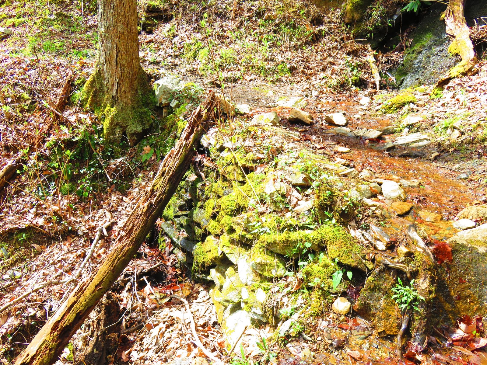 |
| Rock wall supports the trail. |
From here the trail heads right on the Indian Grave Gap Trail, and again it is up, but it is here you get a lot of what I call false summits. This is when you head up a hill and you think you're at the top and find it that it continues up. When I was already having problems with the trail description this sure didn't help. There were some decent views at the top and at other places on the hike there wasn't as many as Molloy described.
 |
| Finally reached the Indian Grave Gap Trail. |
 |
| Add caption |
 |
| Widowmaker on the trail. |
 |
| The split of the Rich Mtn. & Indian Grave Gap Trails. |
 |
| View from... |
 |
| ...ridge on... |
 |
| ...Rich Mountain. |
 |
| Still... |
 |
| ...going up. |
Anyway, at almost the six-mile (the junction with the Scott Mountain Trail & Campsite #6) the trail finally starts downhill and not a moment too soon. The final two and a half miles heads down the steepest part of the trail. You are near the end when you pass 30-foot Crooked Arm Cascade. I will say in closing that this is a really good hike, hell any hike in Cades Cove is a good one. So, sometime in the future, I need to redo this hike with the proper mind because I think it will be better the second time (maybe in the fall).
 |
| Here is where... |
 |
| ...the trail finally heads down. |
 |
| Good view of Cades Cove. |
 |
| Headed down...again. |
 |
| Snake eating a toad! |
 |
| View of... |
 |
| ...Crooked Arm Cascade. |

No comments:
Post a Comment