
While I ended up hiking the Appalachian Trail (AT) from Spivey Gap to High Rocks, I have to say I really didn't know where I was going Thursday until I got to Erwin. Before settling on High Rocks I had thought of going to the Smokies and hiking to Indian Flat Falls, Watauga Dam, and even up to the last moment I almost went to Temple Hill above Chestoa.
 |
| Some of the places I thought about...the Smokies... |
 |
| ...Watauga Dam... |
 |
| Cliff Ridge on the way to Temple Hill above Nolichucky Gorge. |
But when the sun peaked I decided to head up towards Spivey Gap. I had once crossed it after taking a wrong turn coming back from Mount Mitchell in 2013 found me on US-19W. However, I hadn't hiked out of here, but I knew about the view at High Rocks from my AT Guide and hikes to it that local clubs had put up.
 |
| At Spivey Gap... |
 |
| ...headed to the Pisgah National Forest. |
 |
| The second parking area down just down the gap is close to the trail. |
Speaking of clubs Spivey Gap is also the dividing line between the areas of AT maintained by the Tennessee Eastman Hiking and Canoeing Club (TEHCC) and the Carolina Mountain Club (CMC). The TEHCC takes care of the AT heading north all the way to the Virginia line. The part I was hiking was in CMC territory, which stretches all the way to the Smokies.
 |
| Trailhead north from Spivey Gap... |
 |
| ...maintained by TEHCC. |
 |
| But I headed AT south into CMC territory. |
The first part of this hike is pretty pleasant as it is not too steep of a climb...yet. One of the cool things the trail passes is what is called a deer browse, The US Forest Service maintains these to provide more food for deer. At about half-a-mile in the trail, the trail comes to some stone steps and starts to get a little steeper. It still not too bad as it winds its way toward High Rocks crossing some streams along the way. You know you are about halfway when you wind through a boulder field.
 |
| Blue blaze leads from the parking area to the AT. |
 |
| Crossing the first creek, if you look there is still a little snow. |
 |
| Deer browse. |
 |
| The CMC loves blazes. |
 |
| When it starts getting steep. |
 |
| Two small footbridges. |
 |
| Huge AT tree. |
 |
| Tree burl. |
 |
| Entering the boulder field which is halfway. |
It is the last mile, especially the last half where the trail gets pretty steep and rocky. When heading south, like I was, on the AT you pass under High Rocks before coming down the other side to a sign for High Rocks. It is a short steep trail, which turns left to come out to a large rock outcrop on the summit.
 |
| Starting up the more rocky... |
 |
| ...& steep area... |
 |
| Sign pointing to High Rocks. |
 |
| Blue Blaze. |
 |
| Go left here... |
 |
| ...up to... |
 |
| ...High Rocks. |
From here are excellent views toward Erwin with views of No Business Knob and Temple Hill. If you move around the large outcrop also visible are Little Bald Mountain, Flattop, Unaka Mountain and the Roans. I will say that this is a better winter view than I think it would be in the summer but remember to be careful because there can be ice on these rocks (I almost slipped off). After enjoying the view (I needed some mountain time) it was time to head back.
 |
| Some of the view... |
 |
| ...includes Temple Hill... |
 |
| ...No Business Knob... |
 |
| ...Little Bald Mountain... |
 |
| ...Unaka Mountain... |
 |
| ...Roan High Knob. |
 |
| To get this shot... |
 |
| ...I almost slid off High Rocks because of ice! |
As always it didn't take nearly as long to go back, two miles, then the hike uphill. Once back at the car, it was early afternoon, so I decided to add another short hike to my day.
 |
| Headed back... |
 |
| ...through the boulder field. |
 |
| Evil Dead Tree (I love these)! |
 |
| Footbridge. |
 |
| Evergreen tunnel. |
 |
| Trail headed north across Spivey Gap. |
 |
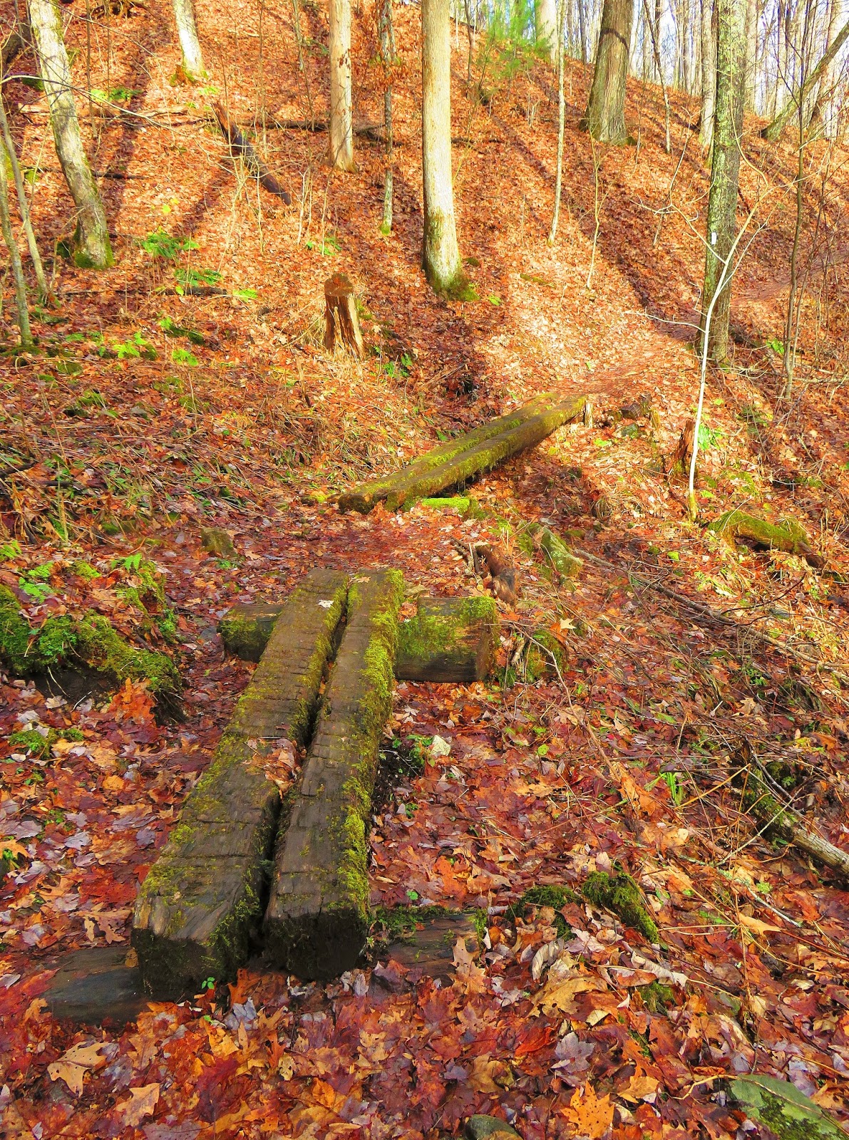
| I am surprised this is still here. |
 |
| My first AT hike in January! |
For this, I headed to the place I almost hiked out of Chestoa. Instead of heading up Cliff Ridge, like the last time here, I went north on the AT into the Nolichucky Gorge. There were two reasons, one I wanted a shorter hike, going up Cliff Ridge is a minimum four-mile, uphill, out-and-back and it really is a hike on its own. The other was not as steep and was just two miles total. Plus, I was getting hungry and I wanted to get to the Hawg 'n' Dawg. It was a really nice hike, first crossing a railroad track (pay attention to the signs) then hiking along the Gorge. This was one of those spots that were hard to capture with pictures but was beautiful. Remember this is a narrow section of trail and could be really sketchy in bad weather.
 |
| Headed back to Tennessee. |
 |
| "New" information board. |
 |
| Headed north on the AT... |
 |
| ...read the sign & be careful... |
 |
| ...crossing the railroad track. |
 |
| On this section of AT... |
 |
| ...with some... |
 |
| ...nice views. |
 |
| Trail is a little narrow. |
 |
| Nolichucky Gorge. |
 |
| White blaze. |
 |
| The AT is roughed through the Gorge. |
 |
| Back to the... |
 |
| ...railroad tracks. |
 |
| Bridge across... |
 |
| ...the Nolichucky River. |
 |
| The "iconic" of Chestoa...Uncle Johnny's. |
So, that was my day from Spivey Gap to Chestoa...oh and I needed it with great barbecue.
 |
| No better way to end the day... |
 |
| ...then with this! |
No comments:
Post a Comment