
On Wednesday I hiked the trails of Persimmon Ridge Park, for the second time. So I figure it is time to do a blog on this collection of trails. Most people know Persimmon Ridge Park for Wetlands Water Park, but there are hiking trails. The loop, that I read about in the Five-Star Trails of Tri-Cites & Southwest Virginia, varies in mileage, but my GPS said around three miles. Both times (here & here) I hiked this I started at the upper trailhead on Luke's Trail.


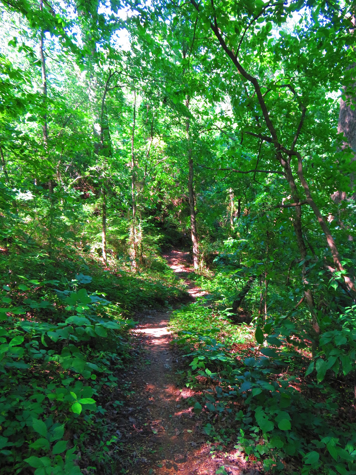
All of the trails are named for the Boys Scouts that helped construct them. This path heads past the 16th hole of the disc golf course heading up Persimmon Ridge. It is a nice uphill that gets the blood moving before moving out of to a cut line which offers views of the mountains one way and the park plus Dosser Ridge. After here the trail enters the woods and head down finally coming to a footbridge.


Here Walter's Trail goes left at gravel road and then goes right at the dead end into the woods. Here begins the steepest uphill of the hike. After it tops out it heads back downhill and back to the same gravel road.


Head left here on the John's Trail, the longest of the three. It heads up Dosser Ridge, but not too steeply before coming to the cutline on the other side with a view back to Persimmon Ridge and part of the Wetlands Waterpark. It hits another intersection and comes back across the cut line heading up a gravel road.


This trail/road heads up past a gate that says Restricted Area. About two-tenths-of-a-mile up there is a hiking trail to the right. You have to look for it as there is no signage here. Now if you miss the trail or you choose to the road continues up to a water tower...now back to the path.


It heads up across the top of Dosser Ridge and you come to the cutline one more time. To the left, the view is of 11E and right view of the mountains and a good view of Wetlands Water Park.The trail heads downhill and finally meets up with the road again.


After taking a left on the gravel road it is not long before 11E comes into view. This is a junction as left takes you to an old tunnel under 11E and heads into a subdivision. The trail we want curves right and becomes paved.


This is the homestretch has it goes by some ballfields and past the other trailhead. Go left at the sign and then right uphill on the road to the parking area. I have to say if you don't have a lot of time, this is an excellent hike.


No comments:
Post a Comment