There are a lot of sections on the
Appalachian Trail (AT) but if you are going northbound toward
Mount Katahdin then there is only one first and that is
Springer Mountain to Hightower Gap. However, for me, the North Carolina-Georgia Section #17 was my third completed part and I did this at the end of May 2015.
As anyone familiar with the AT knows
Springer Mountain is the southern terminus of America's Hiking Trail. It wasn't always as the southern terminus of the AT was moved here in 1958 from Mount Olglethrope, 23 miles South. My first trip to Springer was back in March of 2013, and it was my first real outing after getting back into hiking. A lot of people actually start from
Amicalola Falls State and make the tough eight-mile trek, past the 759-foot falls to the summit of Springer Mountain. I have made over half-way up the
Approach Trail to the Hike Inn Junction. You can drive to the trailhead which is of USFS-42. From Dahlonega to the Springer Mountain Parking Area at Big Stamp Gap is about one-hour drive-up Forest Service Roads. It is rutted in place but a passage car can make the trip. You will know this as the large parking area here fills up fast, especially during thru-hiking season and weekends.
 |
| The Arch at Amicaola Falls State Park |
When you get there you will discover that there is no direct access to Springer Mountain. The parking area for the southern terminus is about a mile from the summit, so like any thru or section hiker to reach it one must backtrack south on the AT. That means while the section hike is 8.6 miles you actually do 9.6 because of the extra mile back to the summit. I have done this hike twice, so for the trip up, I am going to use pictures from my 2013 visit which was in very early Spring and then the on the way back and the rest of the section, pictures I took in late May of 2015. Oh, you will notice a sign I have here is no longer at the Springer Mountain Trailhead.
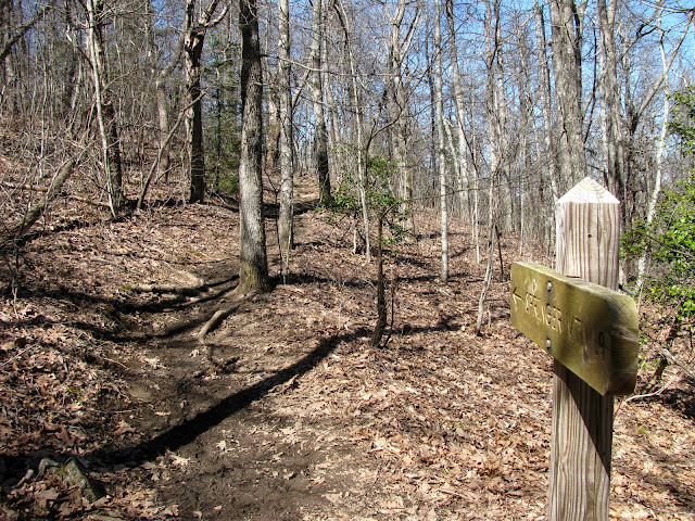
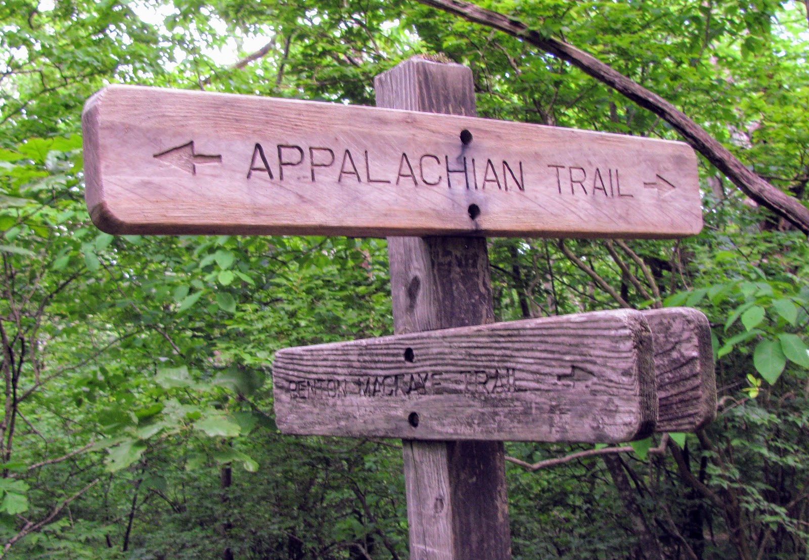
The hike up is not too steep but rocky, which means it isn't a hard mile. At about the 0.8-mile mark you will first come to a side trail that goes left is the southern terminus of the
Benton MacKaye Trail (BMT). Down the Benton MacKaye, a hundred yards or so is the plaque. I have written about this trail before but it is named in honor of MacKaye the man who came up with the idea for the AT. The trail named in his honor travels over 300 miles ending at Big Creek Recreation Area on the other side of the
Great Smoky Mountains National Park.
 |
| Benton MacKaye Trail Junction... |
 |
| ...& Southern Terminus |
Just up from there is another side trail, on the left, which leads to the Springer Mountain Shelter. This shelter 1993, it sleeps 12, has water, bear cables and tent site.
Once at the summit one finds a rock vista facing west toward the Cohutta Mountains. Some have said that the mountain is not that special and yes there are better views just on Georgia AT alone. However, being here I must say there is something mystical about the mountain. from the first white blaze to the two plaques, the southern terminus and the first George Noble you know it is special.
 |
| Springer Mountain Shelter |
 |
| Springer Mountain Vista |
 |
| With the Springer Mountain Plaques |
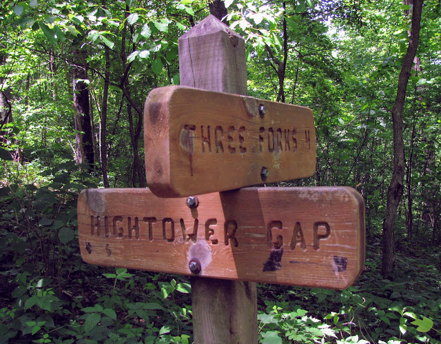
After passing back across FS 42 and the parking area we headed down the AT and at mile marker 1.3 you reach the first crossing with the BMT. It is not long before you cross Stover Creek for the first time. Then three-tenths on is another meeting with the BMT. After that is another crossing of Stover Creek.
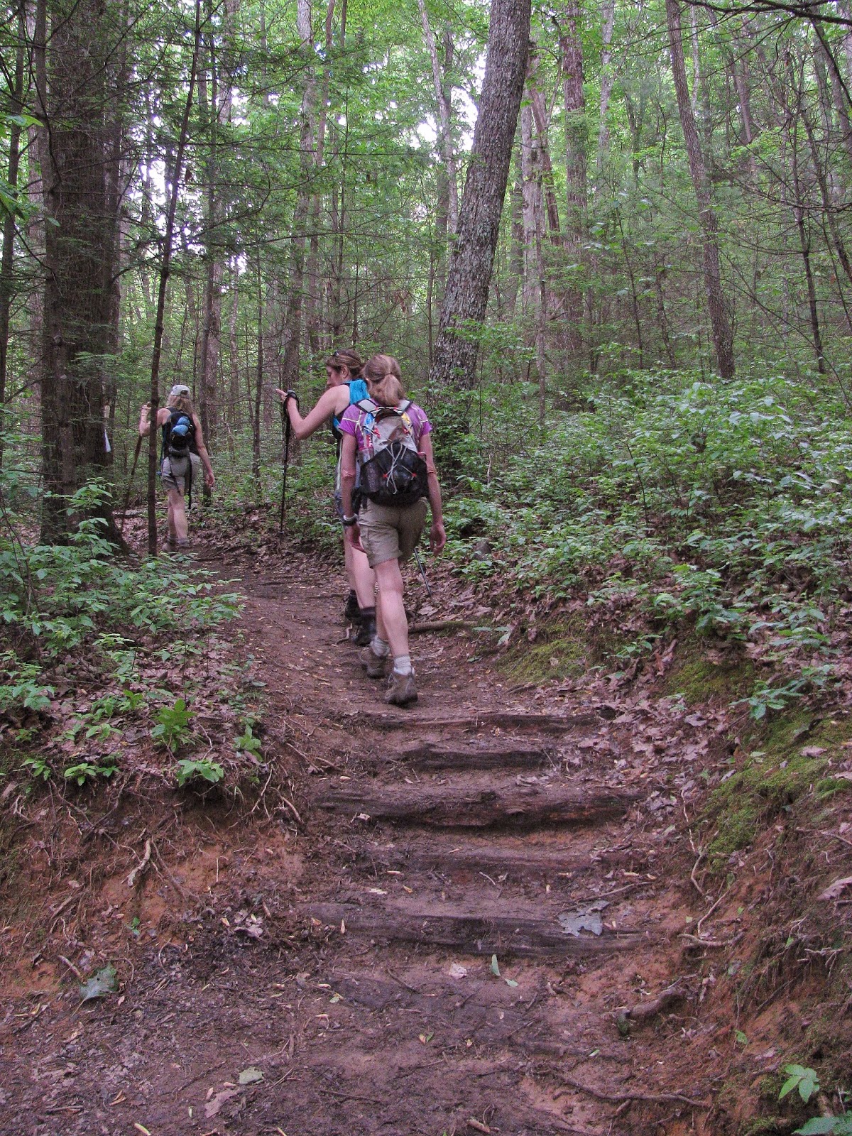
After passing the trail for the Stover Creek Shelter, which is 2.8 miles from Springer, but I didn't go to it has it was almost a half-mile both ways. But for information purposes this shelter is fairly new it was built in 2006 to replace an older one. It sleeps 16 has cables and a privy plus a few tent sites nearby. Just past this junction, there is another crossing over Stover Creek and then beside the creek. The AT passes some nice hemlocks here. At the 4.2-mile mark, the BMT trail comes in from the east. For the next mile, the iconic white rectangle blaze shares the path with the white diamond of the BMT.


Before the AT and BMT split you will first reach Three Forks. Like the name says it is the fork where the three streams Chester, Long and Stover Creeks meet. I wrote about this stretch taking in Long Creek Falls in more detail here. Georgia has a lot of waterfalls, but on the AT in the Peach State there was only one large one waterfall, but it turns out there are two. First, there is a 25-foot sliding cascade I call Lower Long Creek Falls. It is reachable by a steep manway.
 |
| Lower Long Creek Falls |
The second is the more famous Long Creek Falls. The trail to it considers where the AT (goes right) and BMT split for the final time in Georgia. It is also the southern terminus of the Duncan Ridge Trail, which goes straight as part of the BMT. To the left is a sign for Long Creek Falls. You will hear the 50-foot cascade before you see this wonderful waterfall.


No comments:
Post a Comment