
Max Patch...it is one of my favorite spots on the Appalachian Trail (AT), hell one of my spots in the Southern Appalachian Mountains, period. So my most recent visit was my third and Deb's first. Anyway, this blog will chronicle my latest visit in two parts. First I will briefly describe our journey on the Max Patch Loop Trail. Then the rest of the blog will be pictures of our day out on "the Patch." While I had been to Max Patch two previous times I had only hiked a small part of the Max Patch Loop Trail. I did a day hike entry on the parts of the mountain I had visited last January.The Max Patch Trail loops around the base of the mountain. Like I said I had only done part of it and that was exactly the part of the trail we started on.
 |
| Hot Springs, NC. |
 |
| Five miles to the "Patch." |
 |
| Forest Service road up. |
From the parking area this part of the trail heads right. I have taken this part, which is 0.4 miles, to the intersection with the AT. However this time we didn't head left, on the AT up Max Patch, but straight (which continues the loop).
 |
| Parking area... |
 |
| ...trailhead. |
 |
| The loop trail right. |
 |
| Headed to... |
 |
| ...the junction with... |
 |
| ...the AT. |
 |
| Deb at the junction. |
This .25 mile section of the trail is on a road bed which starts in the woods and heads out into a clearing were it intersects with the Buckeye Ridge Trail. Here one gets an excellent view of Max Patch.
 |
| Heading straight for the loop. |
 |
| Loop goes from woods... |
 |
| ...to meadow. |
 |
| Where the loop conects with the Buckeye Ridge Trail. |
 |
| Max Patch. |
 |
| New sign post. |
The trail continues on the road bed for another quarter of a mile before splitting with the Buckeye Trail (which continues on the road bed). Here is a incredible panoramic view of Max Patch, it is beautiful.
 |
| Still roadbed until we reach... |
 |
| ...where the Buckeye Ridge Trail splits. |
 |
| Also here is this... |
 |
| ...panoramic view! |
 |
| The loop becomes a regular trail. |
 |
| The trail cuts through flowers... |
 |
| ...& rhododendrons. |
 |
| At the junction with the AT. |
The loop trail now is on a regular hiking path and is just over three-tenths of a mile to where the loop trail connects with the AT. From here it 1.2 miles to the summit of the mountain. This part of the AT travels through the woods heading up toward Max Patch going left at the fence. After half-mile uphill the rest of this hike I had done before, back in November with snow it looked quite different today.
 |
| Another view of the "Patch." |
 |
| The fence... |
 |
| ...& the AT starts uphill. |
 |
| Pictures... |
 |
| ...from... |
 |
| ....the trail. |
 |
| This spot in winter with snow... |
 |
| ...& early fall. |
 |
| Headed out of the trees on "the Patch." |
We didn't finish the rest of the loop because (A) I wanted Deb to hike on the AT and (B) how can you come to Max Patch and not hike over its summit. One thing I wanted to add was today was mowing day on "the Patch." For those who don't know, to keep the unbelievable views, the Forest Service mows the summit (and use control burns) because if they didn't it would grow over (like what is happening in the Great Smoky Mountain National Park).
 |
| Here are some pictures of the mowing... |
 |
| ...one of the tractors.... |
 |
| Here is the results... |
 |
| ...of the mowing. |
 |
| Explanation of why the mow. |
From here it will be pictures, but I just wanted to add that Deb and I went to the summit, enjoyed the view, hike to the spot featured in A Walk in the Woods and hiked south on the AT until we came to the junction with the loop trail, which we started on earlier in the day.
 |
| A white blaze. |
 |
| Headed up Max Patch. |
 |
| Looking East. |
 |
| Deb on the AT. |
 |
| Wood Booger on Max Patch. |
 |
| Another panorama. |
 |
| Vista of "the Patch." |
 |
| Looking north on the AT. |
 |
| More panoramic... |
 |
| ...vistas. |
 |
| Standing in the snow... |
 |
| ....back 10 months later. |
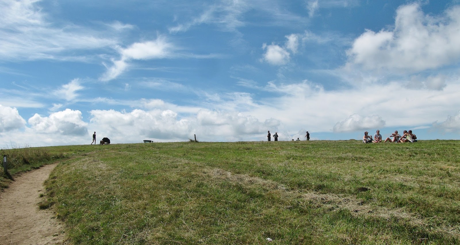 |
| The busy summit.... |
 |
| ....& marker... |
 |
| ....Deb with it. |
 |
| The Smokies.... |
 |
| ...Mt. Sterling (with fire tower).... |
 |
| ...Mt. Cammerer... |
 |
| ...FAA Tower on Snowbird Mountain. |
 |
| The summit... |
| ...panorama. |
 |
| The other marker. |
 |
| Looking south. |
 |
| Spot featured in A Walk in the Woods. |
 |
| Deb with a AT Bird House. |
 |
| Headed down.... |
 |
| ...Max Patch. |
 |
| Looking back at "the Patch." |
 |
| Looking down to the loop trail. |
 |
| Southbound white blaze. |
 |
| Flowers on the trail. |
 |
| Here is where we leave the AT. |
 |
| Headed around the base of "the Patch." |
 |
| Max Patch. |
 |
| The part of the loop I didn't do. |
 |
| Deb with the sign. |
 |
| People were parked all the way into Tennessee. |
No comments:
Post a Comment