
There are days when you get the best of the trail and there are days it gets the best of you...and on Thursday it was the latter for me as I got ass whooped on the way to Buzzard Roost.
I will say Buzzard Roost was originally one of my stops as I had a grand plan to hike out of Horse Creek Recreation Area, up the Middle Springs Ridge and High Country Trails to the Appalachian Trail (AT). As the Middle Springs Trail contects with the High Country Trail which comes up just below Big Butt (which I hiked to in September) and from here I was going to hike a mile-and-a-half to Shelton Graves to complete this section of the AT.
 |
| Big Rocks on Big Butt. |
 |
| Shelton's Graves. |
 |
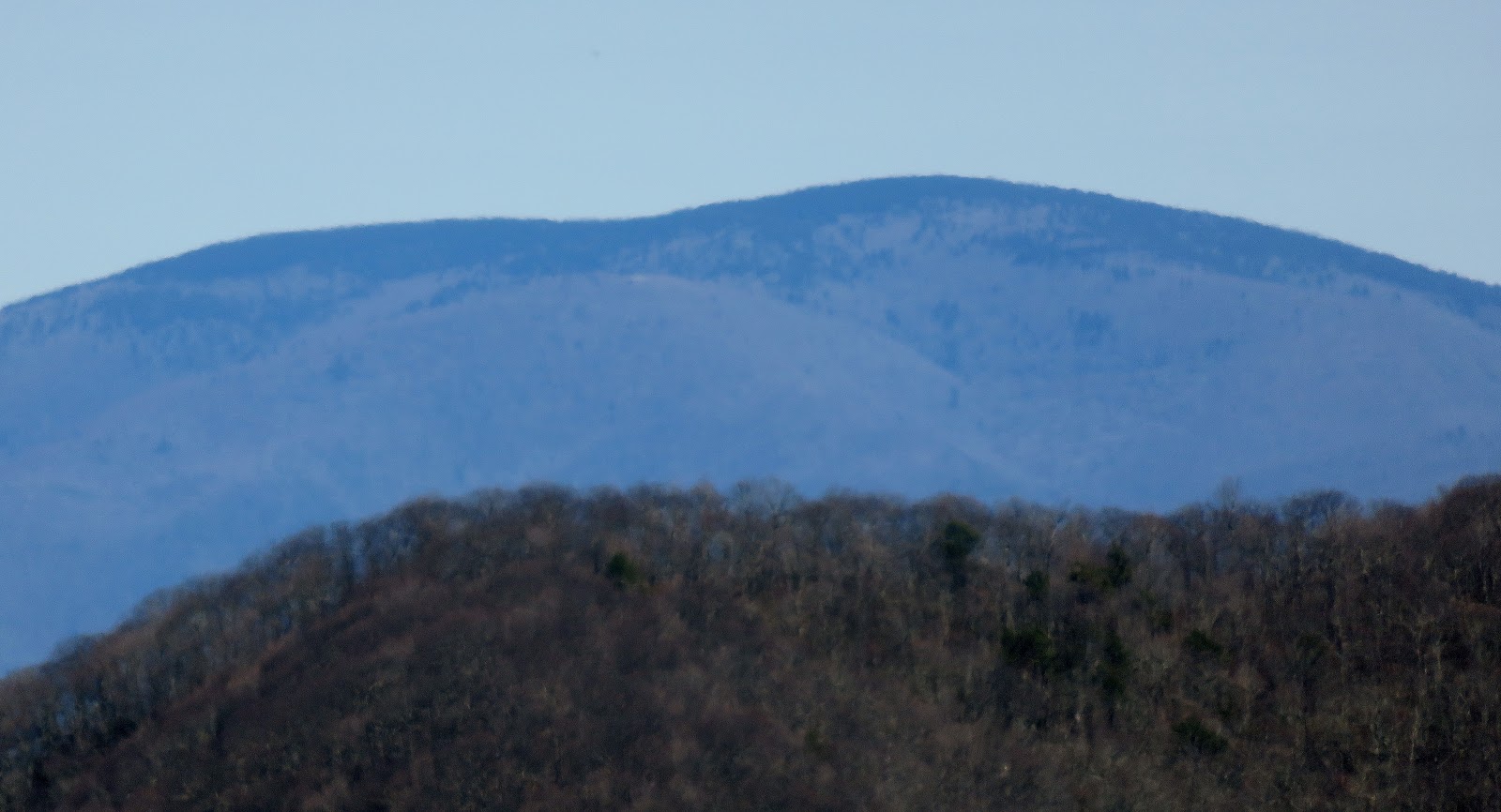
| Horse Creek |
This was supposed to be an 11.6-mile hike...doable. I did one of similar distance back in December when I hiked to Shelton Graves from Devil's Fork Gap, but I will say I forgot to factor in 3,000 feet in elevation gain. Also, things didn't start out as planned as I had to hike in almost four-tenths of a mile to where the Horse Creek Road (FS 94) splits with the trail at the footbridge. I had done this part of the trail back in 2013 on the way to Squibb Creek Falls. Just past the bridge one also enters the Sampson Mountain Wilderness. The trail here has five creek crossings and pass my dream home. Once past my dream cabin, it is just a short distance to the trail junction I was looking for.
 |
| The trailhead for the hike. |
 |
| Passed this... |
 |
| ...to this bridge... |
 |
| ...notice the barriers... |
 |
| ...on to the Sampson Mountain Wilderness. |
 |
| The trail passes my dream home. |
 |
| One of five creek crossings... |
 |
| ...to the trail junction. |
The path left was the Turkey Pen Cove Trail, which eventually merges into the Middle Springs Ridge Trail, I didn't take it for two reasons. The first is that Turkey Pen Cove Trail is a half-mile longer and according to my friend Will, from the Harvey Broome Group, who edited the book Cherokee National Forest Hiking Guide, gave Turkey Pen a strenuous rating while Middle Springs Ridge was moderate. Let me add here that Middle Springs Ridge Trail, which splits from the Squibb Creek Trail, might need a tweak with its rating as I wouldn't describe it as moderate.
 |
| The trail I didn't take... |
 |
| ...the one I did & the one I need goes left... |
 |
| ...up Middle Springs Ridge. |
Pretty much from the start it heads uphill and it is steep, I mean really steep. I would have no problem saying it is one of the steepest I have been on (my GeoTracker app had it a 23 percent). Because of this, it took me two hours longer to go up the trail than coming down. I know the book is a decade old (and it usually pretty accurate more so than other I have mentioned), but I don't know if it has changed that much. Oh, and I forgot to add that the climb from Horse Creek to Buzzard Roost is almost 2,700 feet...even Pete thought it was tough!
 |
| It was steeper than this photo (trust me)... |
 |
| ...more steepness. |
There are a couple more points about the trail it is a pretty rugged trail, while it was not too hard to follow, it might be totally different in summer. From the trailhead at Horse Creek, it is not too difficult to navigate (I did talk to a guy who didn't find the Turkey Pen Cove Trail) however, saying it is poorly marked on up the trail is being kind, because there are no trail signs what so ever. There is no sign at the junction with the Turkey Pen Cove Trail and on up an old roadbed comes (which isn't on my map) in and so does the High Country Trail from Rocky Fork State Park.
 |
| Besides being steep it was |
 |
| ...deadfalls... |
 |
| ...grown up spots... |
 |
| I would say in summer... |
 |
| ...it might be tougher. |
 |
| No sign for the Turkey Pen Cove junction... |
 |
| ...or with an unnamed road (not on map) on the right... |
 |
| Or where the High Country Trail (left) comes up from Rocky Fork... |
 |
| ...only this fence post marks the Middle Springs Ridge Trail |
Looking for Buzzard Roost I got turned around once or twice and got to an open area, with a nice view, which isn't Buzzard Roost. I had to use a combination of my National Geographic Map and my GeoTracker Google Earth View on my phone to find Buzzard Roost, which I finally did. It is a really nice outcrop with a great view of peaks like Unaka and Roan Mountains, but the best view is of Big Bald. Oh, there was a view of the Wolf Ridge Ski Resort, which still had snow on it.
 |
| Some of the view on the way up. |
 |
| Open area... |
 |
| ...with this vista... |
 |
| ...including views of South Central (not the LA one)... |
 |
| ...Greeneville... |
 |
| ...Chimneytops Mountain. |
 |
| I got detoured on going the wrong way on the High Country Trail... |
 |
| ...according to another map, it heads up past this gate... |
 |
| ...some brush in the trail... |
 |
| ...as it heads up... |
 |
| ...you know you're there when you reach this trail... |
 |
| ...& reach Buzzard Roost. |
 |
| Unaka Mountain |
 |
| The Roans |
 |
| Little Bald (left) & Big... |
 |
| ...Bald. |
 |
| Still snow on "the Wolf." |
 |
| The top of the I-26 Metcalf Overlook West. |
 |
| Mountains! |
 |
| Wood Booger enjoys the well-earned view! |
I will say it was halfway up the Middle Springs Ridge that I decided that I wouldn't be going on up to the AT and Buzzard Roost was my turn-around point. I will say it...I was whipped! This trail took it out of me. While I made better time headed back that steepness I had to deal with coming up came back into play. The first half I handled well as it was wider (a lot of old road bed) and had better footing. Once the trail narrowed and became steeper it got more difficult. Add to that leaf cover and I slipped a couple of times (my sticks saved me once) heading down and it did a number on my knees.
 |
| Head down. |
 |
| Rhododendron covered trail. |
 |
| This was the spot I decided to cut my day short on the way up. |
 |
| Through the trees is Greeneville & the trail was that narrow. |
 |
| Nearby peak. |
 |
| Trail down. |
 |
| The trail did have some nice views. |
 |
| The steep & leaf covered final decent... |
 |
| ...what is that a Wood Booger! |
I have to say I was glad when the I reached the end of the Middle Springs Ridge Trail and even more so when I passed my dream home and knew I was in the homestretch. I will say this hike got the best of me being steep, climbing almost 3,000 feet and coming it shy of 10 miles. I will say I enjoyed a few barley pops after this one.
 |
| Finally off the Middle Springs Ridge Trail! |
 |
| When I cross the creeks... |
 |
| ...pass my "dream house" is the homestretch. |
 |
| Passing some nice cascades. |
 |
| Finally back at the lot (which has a few more cars). |

No comments:
Post a Comment