
Because of a series of unfortunate events I hadn't been on a long hike in weeks, but that changed on Saturday on a hike with the Harvey Broome Group out of Smokemont in Great Smoky Mountains National Park (GSMNP).
 |
| The park sign on the bypass... |
 |
| ...Mount LeConte Overlook... |
 |
| ...& the vista... |
 |
| ...Sugarlands Visitor Center. |
For those who don't know Smokemont is a popular campground on the North Carolina side of Newfound Gap. I have been past it before, but this is the first time I had visited this campground (and had the chance to hike out of it). It is a typical GSMNP Campground nice, with plenty of camping sites, bathrooms with toilets and a beautiful setting.
 |
| Smokemont campsites... |
 |
| ...bathrooms... |
 |
| ...& Bradley Fork. |
But it turns out only two-thirds of the campground was open, which meant for our group some extra hiking to the trailhead for the Bradley Fork Trail. This extra mileage was going to be one theme for the day as I originally thought the hike would be in the eight-mile range, but it would clock in at 11 miles.
 |
| Because of this... |
 |
| ...we had to hike an extra distance to the trailhead. |
Another thing the trail would feature was plenty of wildflowers. I will say it gave Laurel Run Park a run for its money and will add plenty to the Spring Wildflower Blog. Besides the beauty of wildflowers, there were plenty of other things including Bradley Fork which ran parallel with the trail, of the same name, most of the way.
 |
| Bent (Wakerobin) Trillium. |
 |
| Large Flowered Trillium (white)... |
 |
| ...older (purple). |
 |
| Wild Geranium. |
 |
| Woodland Phlox. |
 |
| Bradley Fork & the trail. |
 |
| There was a lot of beautiful water... |
 |
| ...on this hike. |
We spent most of the hike on the Bradley Fork Trail and the one thing you notice is it is more old roadbed than trail and that is because it uses to be an old road for tourist in the GSMNP. This also means that this is a multi-use trail which hikers share with horses. Oh, the Benton MacKaye Trail (BMT) use the Bradley Fork for 1.2 miles before splitting and following the Chesteen Creek Trail. Just up the trail, one can head back to the campground on the other part of the Smokemont Loop Trail, but we kept going on the Bradley Fork Trail.
 |
| The Bradley Fork Trail use to be the road... |
 |
| ...it is also part of the BMT... |
 |
| ...junction with horse trail... |
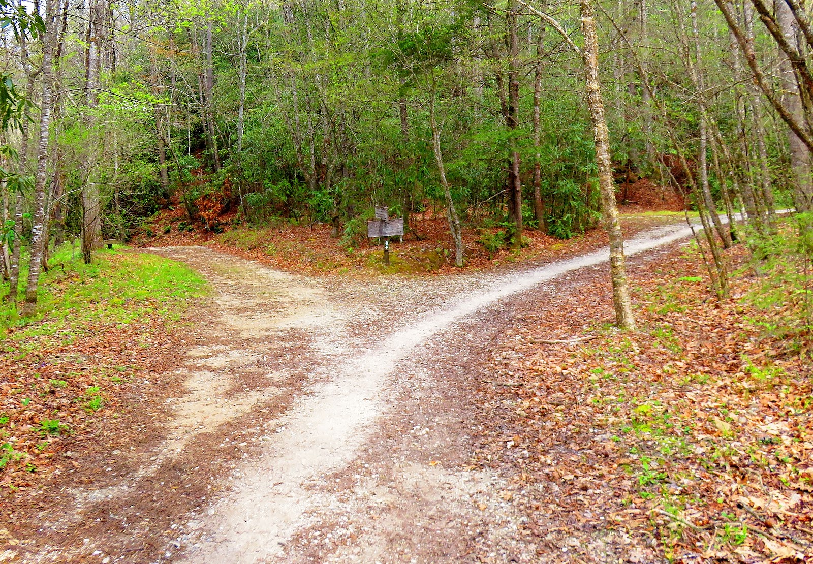 |
| ...here at this junction... |
 |
| ...Bradley Fork splits with the BMT... |
 |
| ...junction with Smokemont Loop Trail. |
Most of our journey was uphill but it is a gentle incline so it wasn't too bad and included a few footbridges and a waterfall that I am calling Taywa Creek Falls. Eventually, we reached the point where we left the Bradley Fork Trail for the final push (little over a mile) on the Cabin Flats Trail.
 |
| The trail goes slightly uphill. |
 |
| Bradley Fork is always close by. |
 |
| One of the footbridges... |
 |
| ...view from one... |
 |
| ...Taywa Creek Falls (I named it). |
 |
| Here we finally leave the Bradley Fork trail. |
We crossed an old railroad bridge before one more junction with the Dry Sluice Gap Trail. It was long before we reached Campsite Number 49. It was a large campsite with plenty of tent sites, bear cables and Cabin Branch run beside the site, it was pretty nice.
 |
| The old railroad bridge... |
 |
| ...cool rock ledge near it. |
 |
| Small footbridge. |
 |
| At the Dry Sluice Gap Trail junction. |
 |
| Cool tree. |
 |
| Old sign at Campsite #49... |
 |
| ...& new. |
 |
| The campsite... |
 |
| ...one of the campfire areas... |
 |
| ...bear cables... |
 |
| ...& plenty of water (Cabin Branch). |
Expect for the climb out of Campsite Number 49, the hike back because of that picked up, so much so we cut an hour off the trip back (Pete was happy). Anyway, like I said in the Day Blog it was a great hike, with a great group and an excellent way to spend a day in the Smokies.
 |
| Headed back... |
 |
| ...we go left. |
 |
| Bradley Fork. |
 |
| Double footbridges. |
 |
| Culvert Falls. |
 |
| Clingmans Dome. |
 |
| Oconaluftee Valley. |
 |
| Newfound Gap. |
 |
| Anakeesta Ridge. |
 |
| Gatlinburg. |

No comments:
Post a Comment