
Well, unlike most summers I didn't mind this year for a number of reasons. It might be that I had a number of days camping as I started HikeSummer '17 on a three-day weekend with the Clinch Coalition at Bark Camp Lake in Southwest Virginia. Then I had three backpacks with the Harvey Broome Group of the Sierra Club. The first to the Grayson Highlands State Park and Mount Rogers National Recreation Area. Then two outings around and in the Shining Rock Wilderness. The first, in July, near Sams Knob and the second in August near Black Balsam Knob. I also had plenty of day hikes to the Roans, Camp Creek Bald, and Big South Fork. I also added two categories...State Parks and Campsites. So here is an overview of HikeSummer '17.
Total Days Out: 19; Hiking Days: 19
Total Hikes: 24; Hikes: 24
Total Miles: 95.5; Hiking Miles: 95.5
 |
| Longest: Round Knob to Shelton Graves - 12.8 Miles (06-26-17) |
 |
| Shortest: Roan Rhododerdons Gardens Trail - 1 Mile (06-12-17) |
 |
| Warmest: Nathan Bedford Forrest S.P. - 100+ Degrees (07-22-17) |
 |
| Coldest: Roan Highlands - Low 50's Degrees (07-30-17) |
Mountain Peaks: 26
 |
| Highest Peak & Point: Roan High Bluff - 6,267 ft. (06-25-17) |
 |
| Lowest Peak: 20 Trail Knob - 600 ft. (07-22-17) |
 |
| Lowest Point: Eva Beach - 363 ft. (07-22-17) |
Fire Lookouts, Towers & Water Towers: 3
 |
| Highest & Tallest: Camp Creek Bald FT - 4,844 ft. & 21 ft. (09-25-17) |
 |
| Lowest & Shortest: Meadow Creek Tower - 2,875 ft. & 18 ft. (08-29-17) |
 |
| Lowest: High Knob Tower - 18 ft. (06-03-17) |
Cliffs & Outcrops: 70
 |
| Highest: Grassy Ridge Bald Summit - 6,189 ft. (06-12-17) |
 |
| Lowest: Honey Creek Cave - 1, 180 ft. (08-20-17) |
Overlooks: 25
 |
| Highest: Roan High Bluff - 6,267 ft. (06-25-17) |
 |
| Lowest: Honey Creek Overlook - 1,190 ft. (08-20-17) |
Waterfalls: 11
 |
| Tallest: Wildcat Falls - 200 ft. (07-08-17) |
 |
| Shortest: French Broad Cascade - 3 ft. (08-03-17) |
Bodies of Water: 36
 |
| Largest & Lowest Lake: Kentucky Lake - 250.5 Sq.Miles & 363 ft. (07-22-17) |
 |
| Smallest & Highest Lake: High Knob Lake - 4 Acres & 3,550 ft. (06-03-17) |
 |
| Highest River: Doe River - 2,679 ft. (Three Times) |
 |
| Lowest River: Big South Fork - 1,100 ft. (08-20-17) |
Trailheads: 43
 |
| Highest: Cloudland Trail - 6,161 ft. (06-12 & 21-17) |
 |
| Lowest: Nathan Bedford Forrest S.P. - 419 ft. (07-22-17) |
Gaps: 34
 |
| Highest Hiking: Investor Gap - 5,723 ft. (08-12 & 13-17) |
 |
| Lowest Hiking Gap: Cumberland Gap - 1,631 ft. (07-18-17) |
 |
| Highest Road: Toll House Gap - 6,087 ft. (06-12 & 21-17) |
 |
| Lowest Road: Moccasin Gap - 1,266 ft. (Four Times) |
Shelters: 1
 |
| Jerry's Cabin - 4,166 ft. (06-26-17) |
Gift Shops & Visitor Centers: 26
 |
| Highest: Roan Rhododendron Gardens VC - 6,196 ft. (06-12 & 21-17) |
 |
| Lowest: NB Forrest SP VC - 409 ft. (07-21-to-23-17) |
Wilderness Areas: 1
 |
| Shining Rock Wilderness - 5,466 ft. (08-12 & 13-17) |
Recreation & Picnic Areas: 5
 |
| Highest: Mt. Rogers NRA - 5,530 ft. (06-17 & 18-17) |
 |
| Lowest: Houston Valley RA - 1,754 ft. (08-29-17) |
State Parks: 4
 |
| Highest: Roan Mountain SP - 3,769 ft. (Three Times) |
 |
| Lowest: Nathan Bedford Forrest SP - 363 ft. (07-21-to-23-17) |
Campsites: 4
 |
| Highest: Kim's Gap - 5,466 ft. (08-12 & 13-17) |
 |
| Lowest: Bart Camp Lake Campground - 2,864 ft. (06-02-to-04-17) |
Major Trails: 10
 |
| Appalachian Trail: 7 |
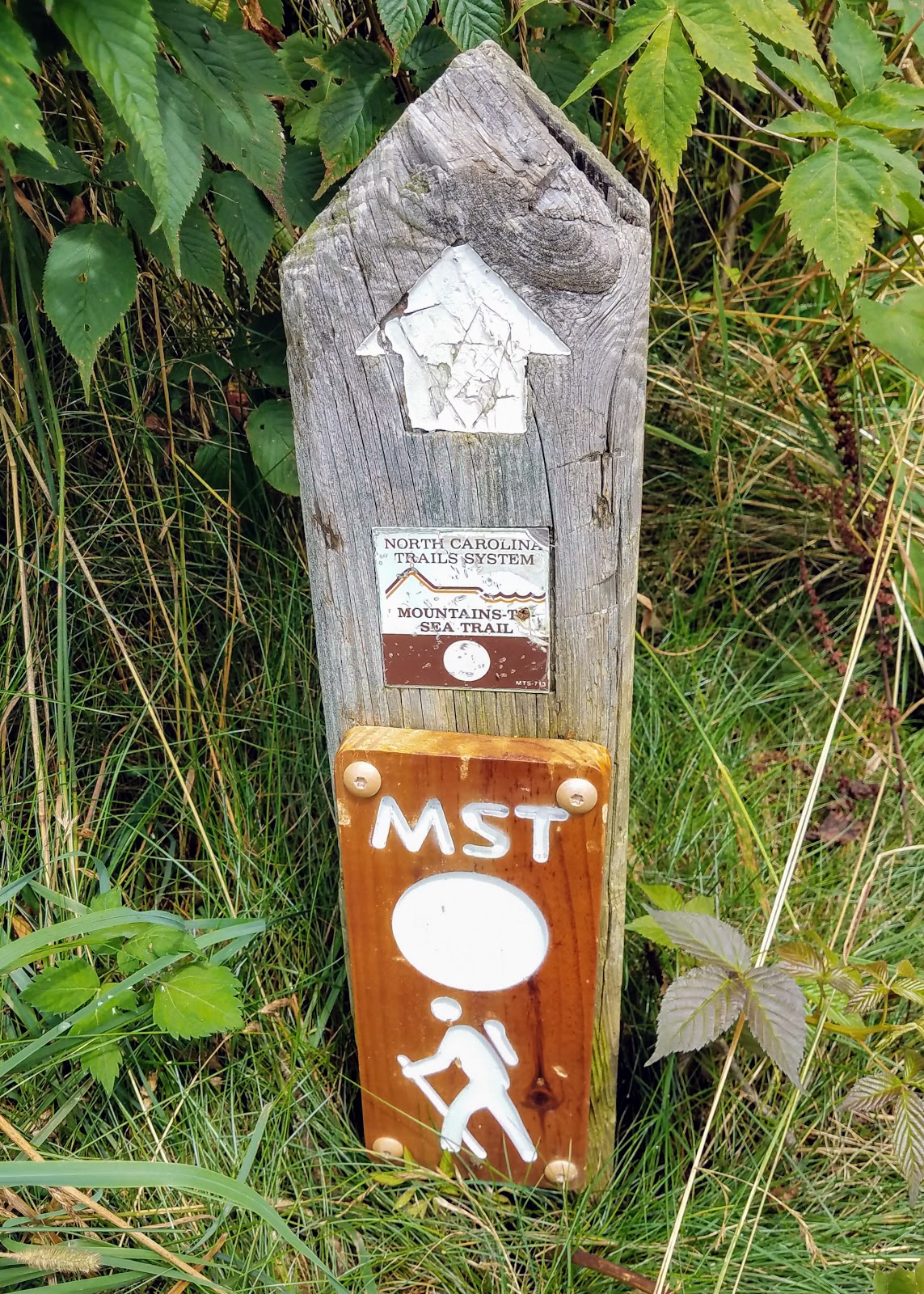 |
| Mountains-to-Sea Trail: 1 |
 |
| Art Loeb Trail: 1 |
 |
| Daniel Boone Wilderness Road Trail: 1 |
No comments:
Post a Comment