
Charlies Bunion and the High Country, this is my favorite hike in the Smokies. I had done this hike three times before, in Summer, Winter, and Fall, so I had to do it in the Spring (another seasons blog coming soon). Now I have done a more in-depth blog before (here) on this hike so the first part of this entry will be a photo blog before I move on to the part of this hike I hadn't completed. It was because of the part I added that I didn't do the Jump-Off again. I do need to also mention that there were wildflowers, mostly Spring Beauties and Trout Lilies littering the trail.
 |
| Entering the park... |
 |
| ...visitor center... |
 |
| ...the green road... |
 |
| ...Morton Overlook... |
 |
| ...Newfound Gap vista... |
 |
| ...Mount LeConte... |
 |
| ...Clingmans Dome... |
 |
| ...Newfound Gap... |
 |
| ...headed up the AT... |
 |
| ...cool tree on the trail... |
 |
| ...more trail... |
 |
| When I was last at this junction in October this sign was still standing... |
 |
| ...now the sign is propped up & out of the ground... |
 |
| ...ridgeline... |
 |
| ...one of the trail vistas... |
 |
| ...flowers on the trail like... |
 |
| ...Spring Beauties... |
 |
| ...Trout Lilly... |
 |
| ...looks like a tunnel... |
 |
| ...AT... |
 |
| ...at the Boulevard Trail Junction... |
 |
| ...Double blaze... |
 |
| ...past tree fall... |
 |
| ...at AT junction for... |
 |
| ....Ice Water Spring Shelter... |
 |
| ...headed down... |
 |
| ...across the ridgeline... |
 |
| ...to Charlies Bunion... |
 |
| ...past one of my favorite trees... |
 |
| ...up... |
 |
| ...to the junction of ... |
 |
| ...what some call the "Tourist Bunion"... |
 |
| ...it does look like a Bunion... |
 |
| ...what a vista... |
 |
| ...this maybe my favorite spot in the Smokies... |
Well, when I left Charlies Bunion I did a stretch of the Appalachian Trail (AT) I hadn't done. This part was a hike to the junction with the Dry Sluice Gap Trail. The trip here is short, coming in at just half-mile one-way, but the main reason was to find the side trail up to what is called the "real" Charlies Bunion.
 |
| ...headed back to... |
 |
| ...to the AT... |
 |
| ...leading to... |
 |
| ...to the junction with Dry Sluice Trail... |
From what I gather the place that is today called Charlies Bunion (and others call the "Tourist Bunion) is below the west peak of what use to be called the Fodderstacks. On the USGS topo map, it does show Charlies Bunion as the east peak of the Fodderstack. It seems that George Masa also might have thought it was the east peak. However, from photos, Charlie Conner, who named the Bunion, was referring to the spot below the west peak (for more on this Google it). Anyway, the climb up to the "real" Bunion starts at Dry Sluice Gap (which has a great view into North Carolina) and is on a steep well-defined trail. There are two outcrops one below the west peak and the view at the top.
 |
| USGC topo map. |
 |
| Charlie Conner on top of the west peak of the Fodderstacks... |
 |
| ...above what now is called Charlies Bunion. |
 |
| Here is the junction heading north... |
 |
| ...& south... |
 |
| ...in Dru Sluice Gap... |
 |
| ...up toward the "real" Bunion. |
The vistas here are spectacular, and at the top of the "real" Bunion, you can even see people climbing the "tourist" Bunion. While I loved the view from here, and I know it is way less crowded (I was the only one there when I went up) the actually vista is better at the "tourist" spot. Sorry serious hikers, but that is the opinion of the Wood Booger, but I am guessing Pete won't agree. Oh, one more thing I am going to call the tourist spot Charlies Bunion and the east and west peaks what they were original called the Fodderstacks.
 |
| Vista from the lower outcrop... |
 |
| ...headed up the "real" Bunion... |
 |
| ...& its vista... |
 |
| ...looking back at the west peak... |
 |
| ...& the "tourist" Bunion. |
 |
| Headed back... |
 |
| ...then up... |
 |
| ...to the west peak of the Fodderstacks... |
 |
| ...looking back at the east peak. |
 |
| Second straight time someone has left something they shouldn't. |
The only thing I can really add about the trip back that I haven't said before is it just seemed tougher this time. I told another guy "I don't know if the trail has gotten tougher or I am just getting older" we know it is the latter! Still, it was a grind back to Ice Water Springs, but once there the rest of the hike back to Newfound Gap was pleasant.
 |
| ...Headed back... |
 |
| ...on the flowery AT... |
 |
| ...for some reason... |
 |
| ...it was a tougher climb... |
 |
| ...to Ice Water Spring... |
 |
| ...it did get easier. |
 |
| The "Dragon Tree." |
 |
| About two miles to go... |
 |
| ...1.5. |
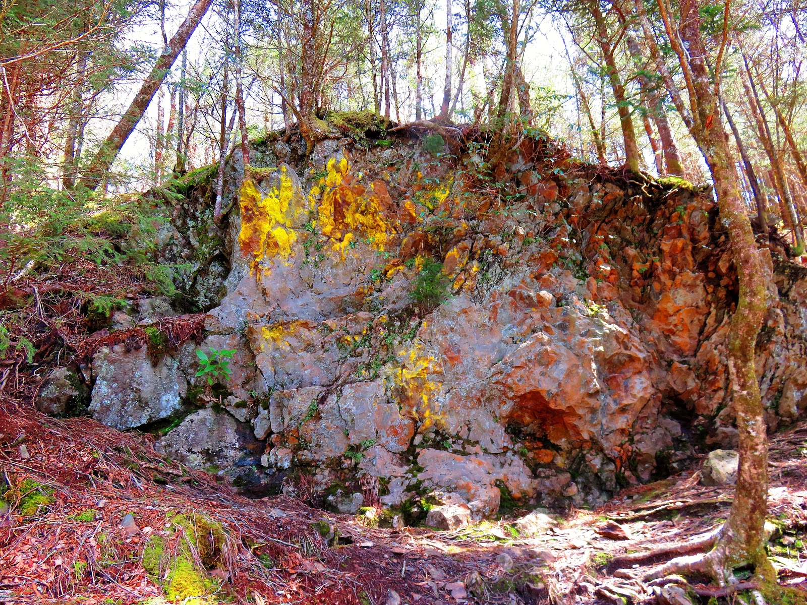 |
| I love this rock. |
 |
| The final stretch... |
 |
| ...to Newfound Gap |
I need to add, that it was fun to have done this hike during Thru-Hiking Season. I passed and was passed by plenty of AT hikers heading north and on the way back I met even more.
 |
| AT Thru-Hikers at Newfound Gap... |
 |
| ...on the trail... |
 |
| ...headed north to Mount Katahdin. |
 |
| When I got back to there was some Trail Magic. |
Overall, it was another great hike on my favorite stretch in the Smokies.

No comments:
Post a Comment