
As Pete has already posted, he and I went on a hike to finish an Appalachian Trail (AT) Section with a hike from Laurel Fork Trailhead to Shook Branch Recreation Area near Hampton.
I will do a blog about this entire section, but it runs from Dennis Cove to Wilbur Dam Road. I had done the Laurel Falls part from Dennis Cove and the Laurel Fork Trailhead. I had also hiked over Watauga Dam from Shook Branch Trailhead. The six miles in between is what I needed. I was supposed to do this hike on Monday with the Old Timers Hikers Club. But with the high 30s and rain, I decided to stay home, but since the weather was supposed to be better on Tuesday I decided to go out then on my own. Because of this, I decided to hike AT South to North instead of the opposite way that the hike Monday was supposed to go.


While the hike is six miles it is actually just 1.5 miles between Laurel Fork Trailhead and Shook Branch. I thought, for a very short time, I could road walk it, but these two trailheads are on the very busy US-321...so no. So, what to do? In my AWOL's The AT Guide for 2020, I decided to check out shuttles in Hampton and found one right near the AT at Shook Branch, Boots Off Hostel and Campground. When I contact owner Jim Gregory, he told me because of the short shuttle he would just charge me parking prices at the hostel of $5. Boots Off is located just across where the AT comes out of the woods on Shook Branch Road. To get there you go up the road. There are some cool signs which encourage hikers who come off the trail. Very nice people and a cool place.


After parking, I was shuttled to the Laurel Fork Trailhead. I have hiked from here a number of times, but most recently in May 2017. I noticed that blue diamond blazes, like the ones at Margarette Falls. I guess the US Forest Service got a deal on them. So, when I got to the junction I went left instead of right.


It was obvious from the start that this hike up Pond Mountain would be different from the one to Laurel Falls. It is uphill a lot of uphill at times you won't think it will in. Maybe that is why the Old Timers were going South to North. You get to a point where you can see the Southbound AT below you. Also an excellent view of the Laurel Fork Gorge. Like Pete said just before Pond Flats we found snow, not a lot, but it was the white stuff.


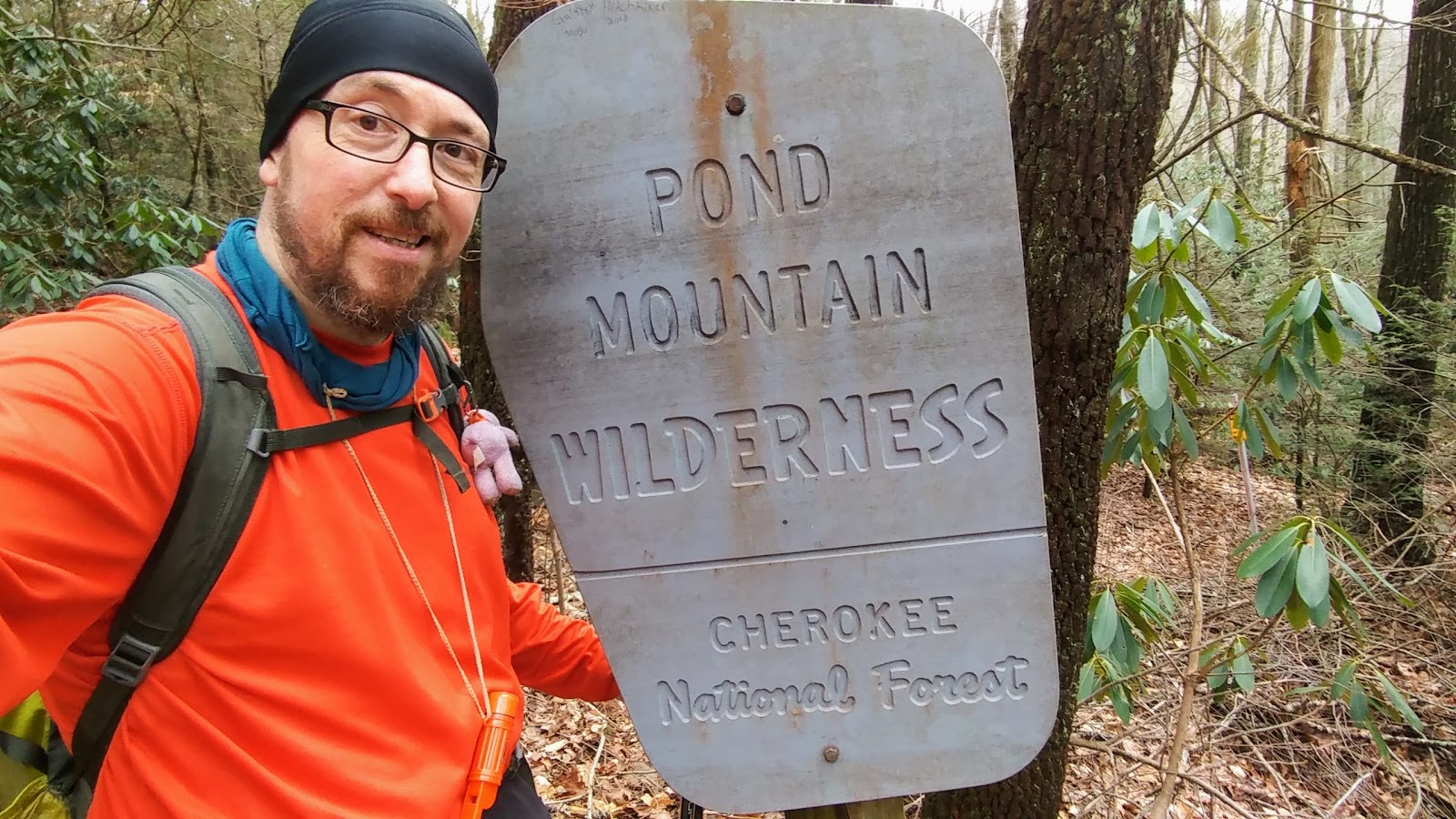
While it was cooler and some peaks were in the clouds it got warm on the trail back, but there was a great view of Watauga Lake. Most of this hike takes place in the Pond Mountain Wilderness. That means any trail work is done in the old fashion way by hand. Because of this I cut out some small deadfalls and cleared trail where I could.


Once back I crossed the road to Shook Branch which is closed (and a portion of the AT rerouted) because of flooding, which is evident.


So much water!
ReplyDelete